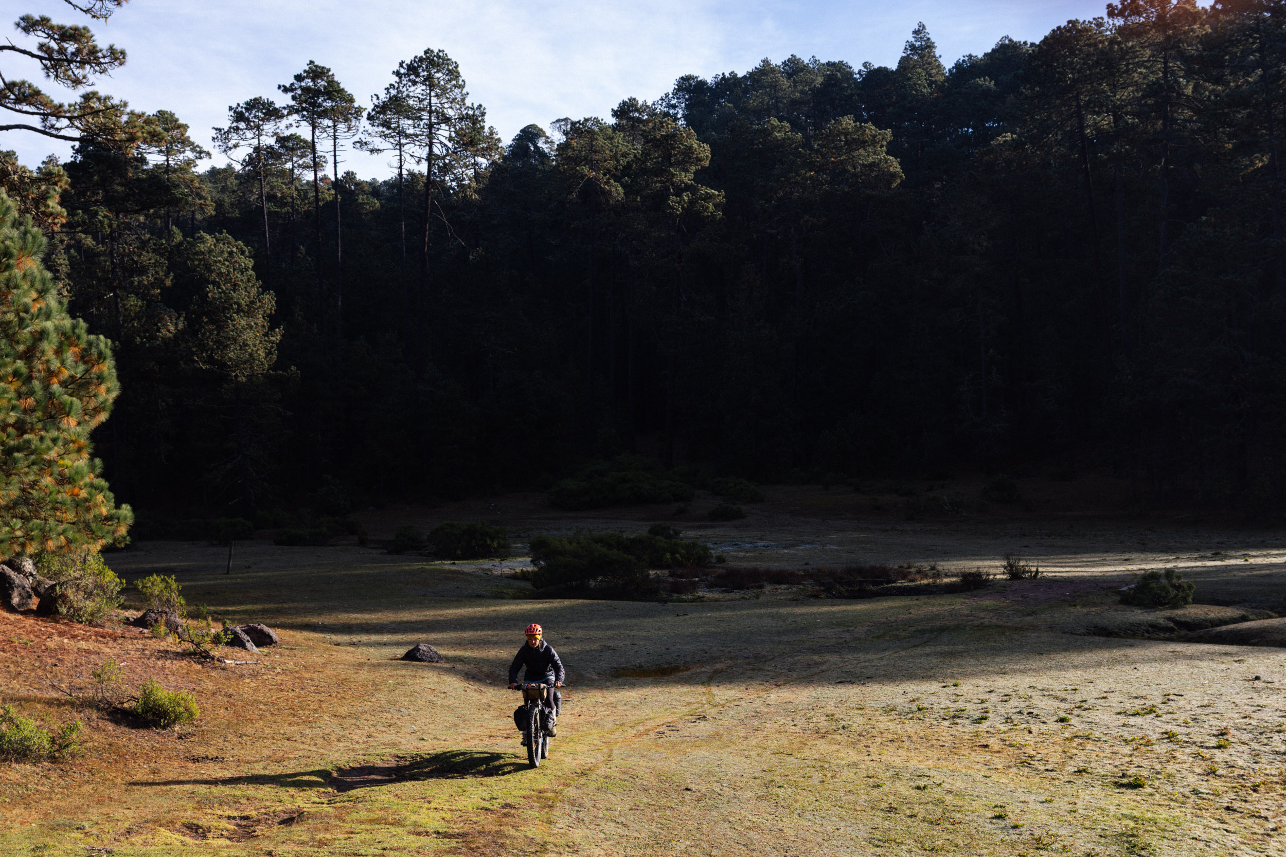
Well, we made it back into the high country again, for the first time in many a moon.
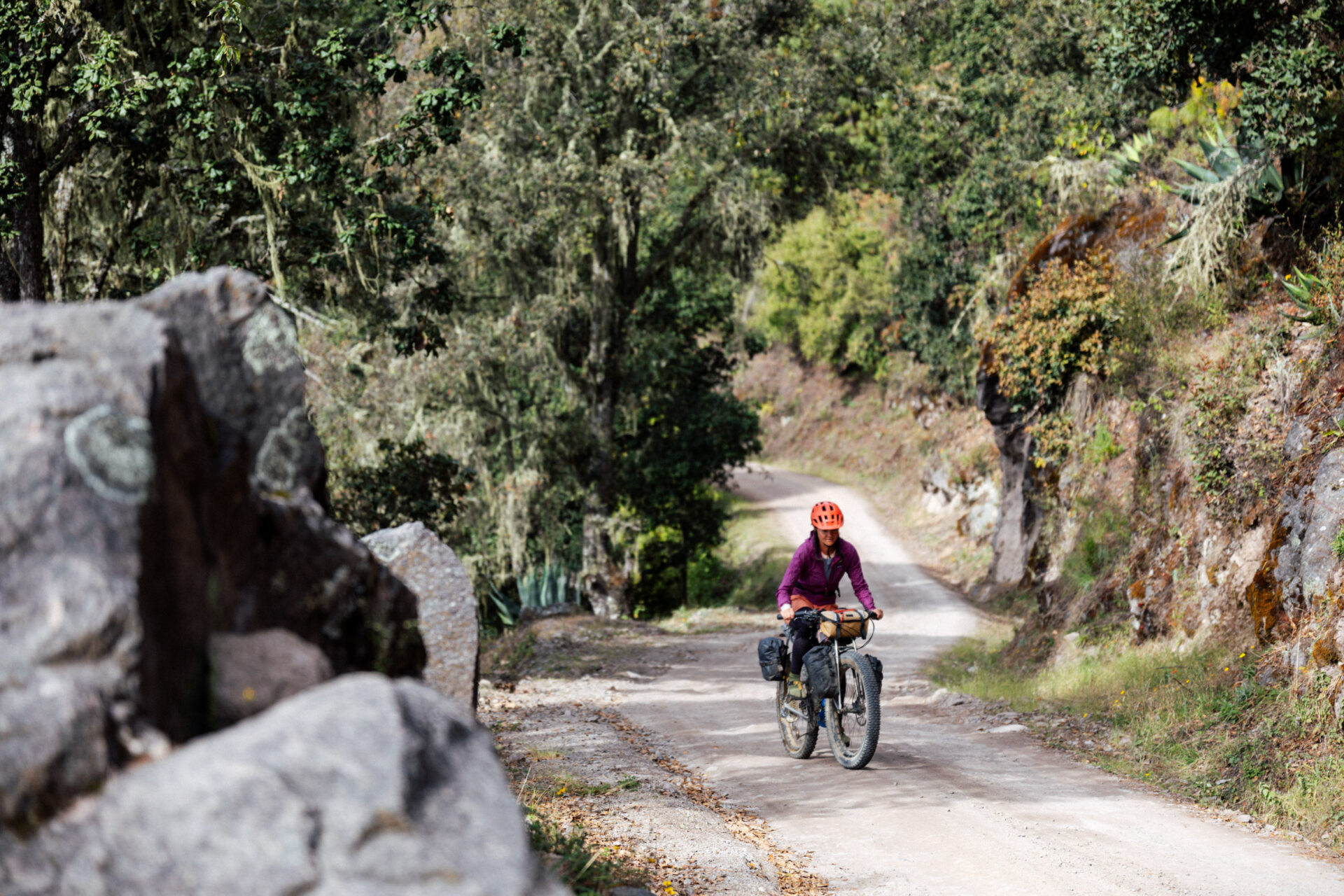
The dirt roads that link the Pueblos Mancomunados – eight autonomous villages set within the Sierra Juárez – encircle our all time favourite bikepacking zone in Oaxaca. It’s a monstrous climb to get up there from the valley, of that, there’s no doubt.
But…
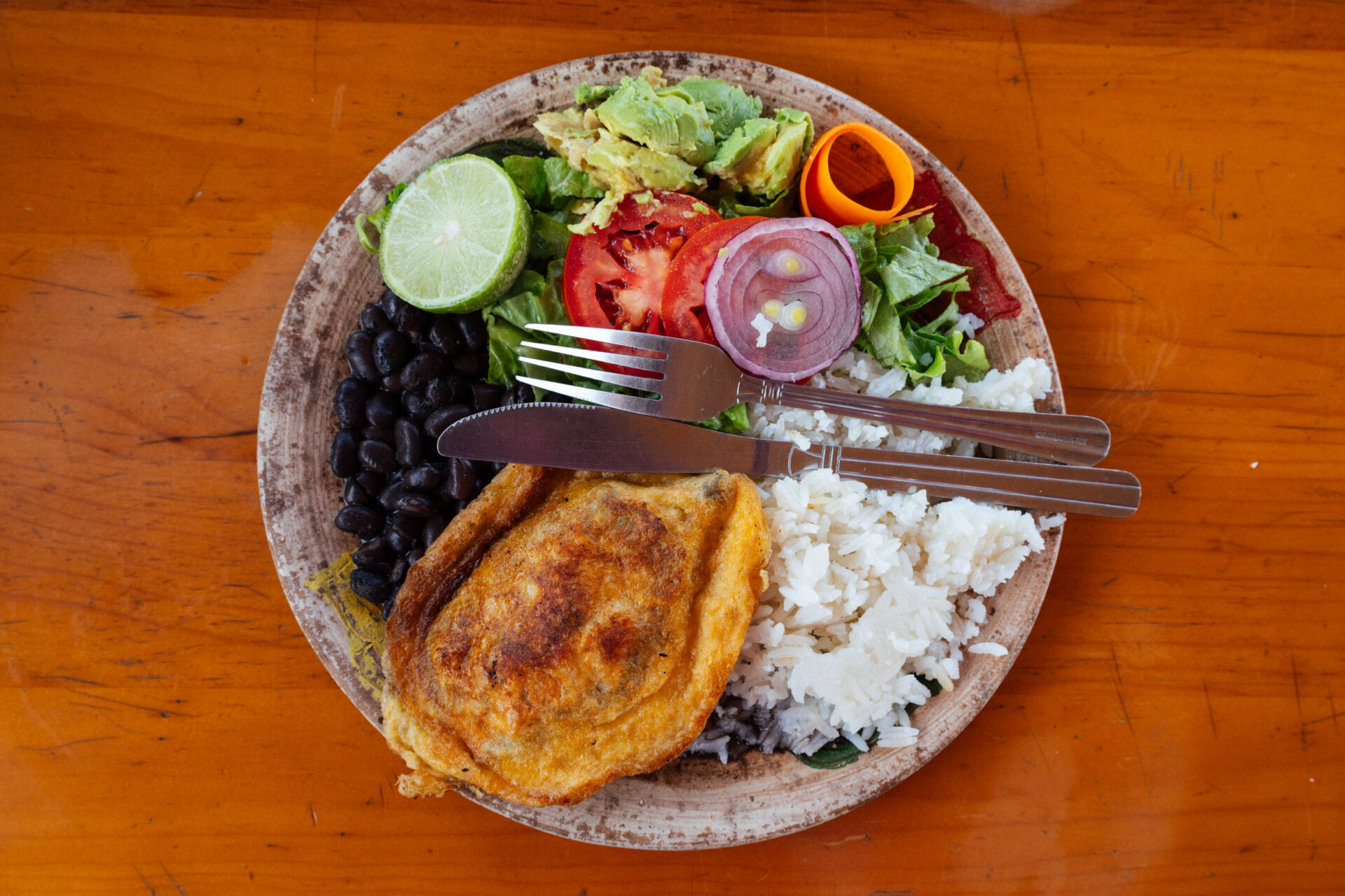
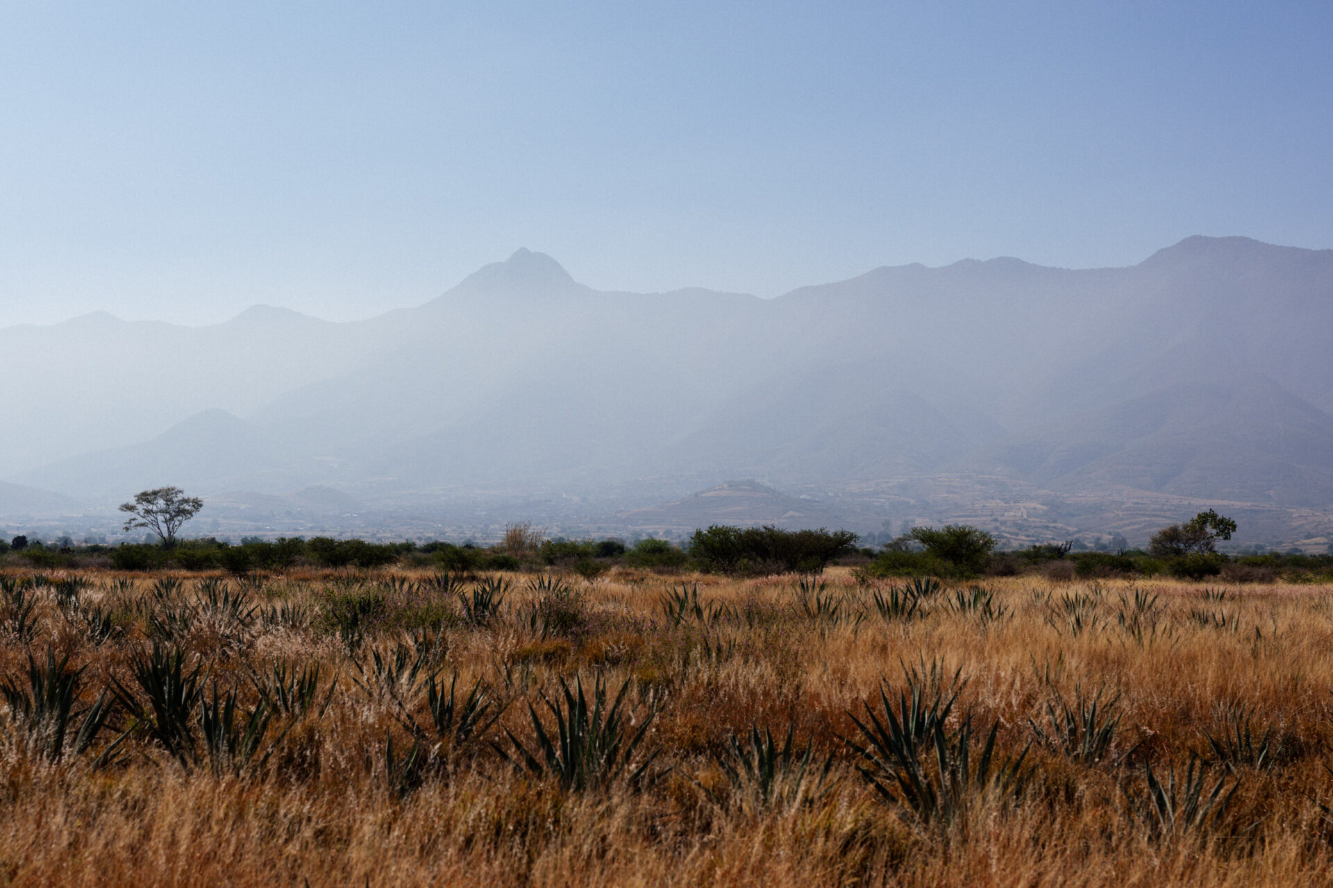
Once you’ve clawed your way up (leave early to beat the heat if it’s the dry season, not like us), it’s easy living, so to speak. For a start, there’s an abundance of resupply opportunities (if you like trout, you’re in luck, my friends). Then, there’s any number of fabulous hikes to miradors and monkey rocks that you’ll have to yourself. And, you’ll be treated to some primo camping – the fees (100 pesos per night) for which go straight back into the community. We love too how the weather in the Sierra Norte is crispy fresh at this time of year , which makes a refreshing change from the hazy, smokey, Valles Centrales below. But that climb… oh, if we could only teleport ourselves up there every weekend!
Anyway, this loop is basically the same one that appears on the pages of bikepacking.com, albeit in reverse, and with an alternate descent to hot and dusty San Miguel Del Valle. This descent isn’t necessarily ‘better’, but it’s a road I’ve been eying up for some time and never found the opportunity to ride. And now we have, thus putting to rest that quadrant of the satellite map.
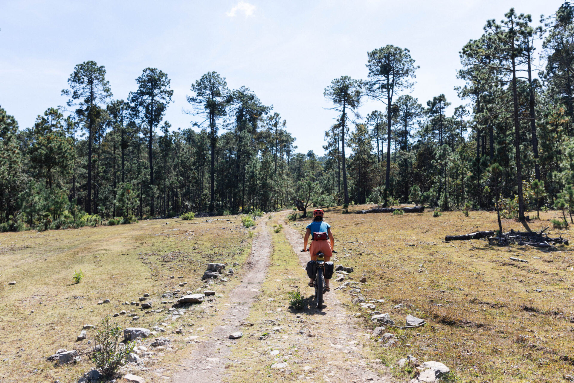
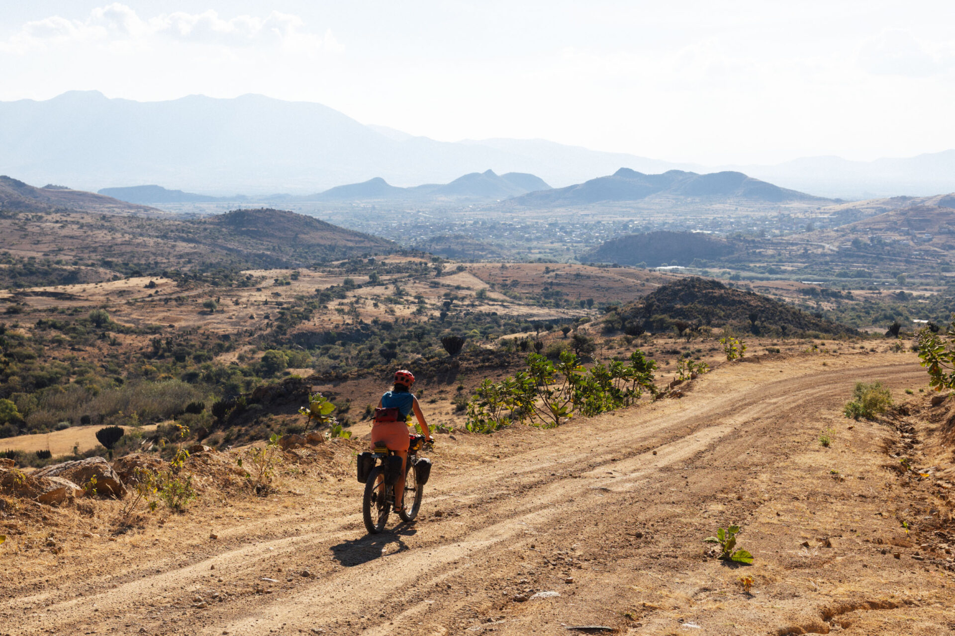
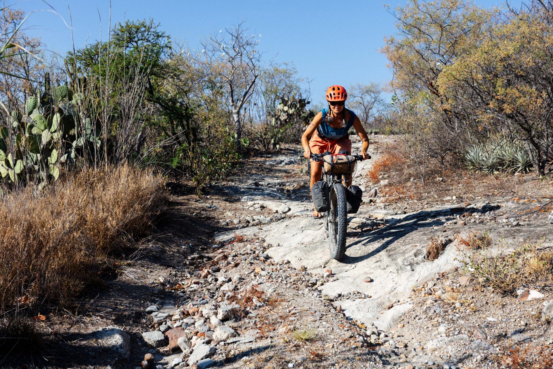
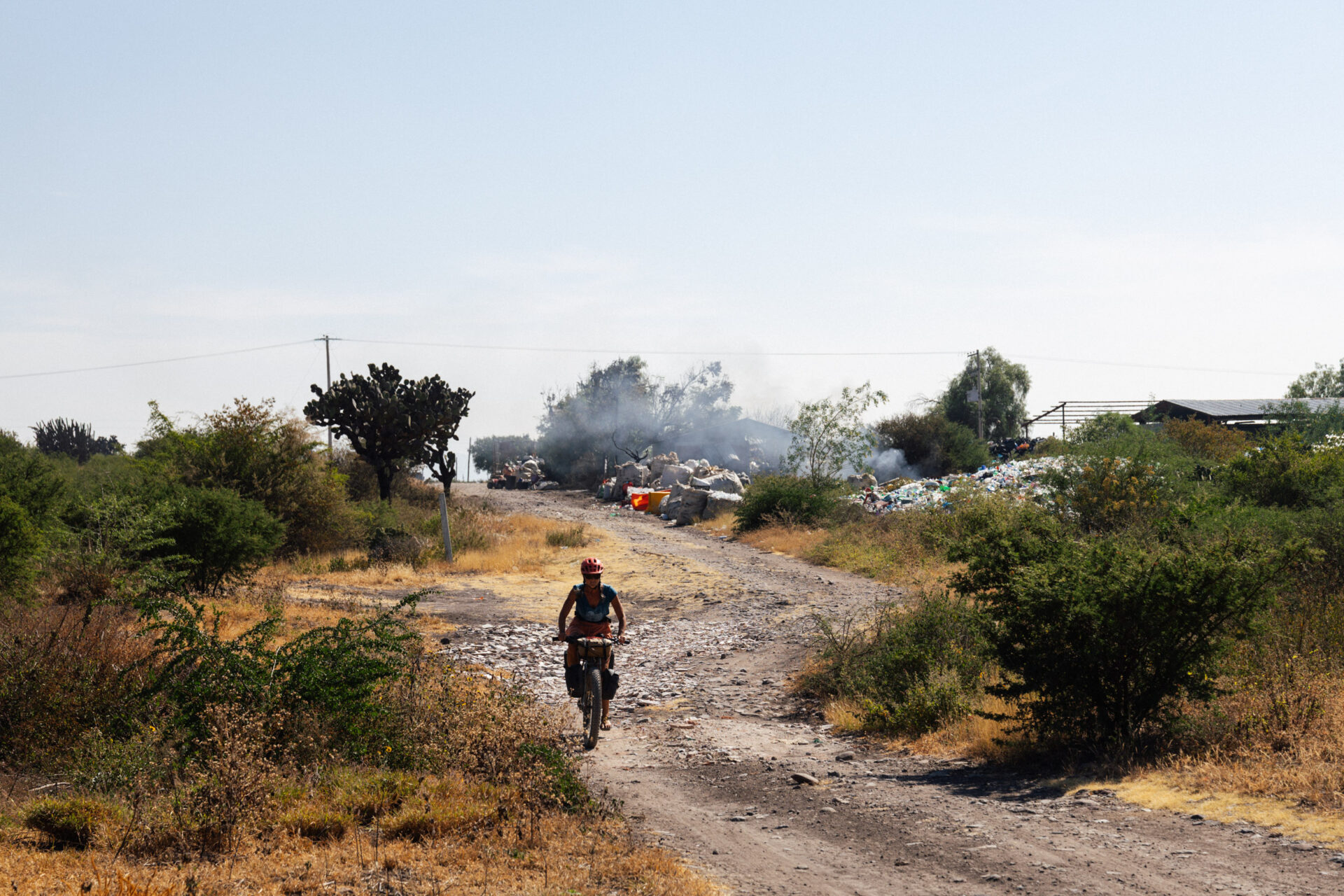
Apart from running the gauntlet in and out of town, the whole route is largely low traffic, mostly rural valley roads and forest tracks, with a little quiet pavement in between. The highlighs, for us at least, are the unexpectedly mellow, high elevation, and grassy plains hidden within the rugged mountainscape between Llano Grande and San Miguel del Valle. It’s an area – much of which lies at 3000m or more – that’s so rich in biodiverse trails that you could easy pack a pannier-full of granola and spend an extra day up there, just dawdling around and soaking up the forest vibes… The Cueva Iglesia is a surprisingly far reaching cave system buried below one of these high elevation plains and a former 19th-century hideout for thieves…
With our trip to Colombia coming up soon, it’s a great loop for testing gear… and legs too!
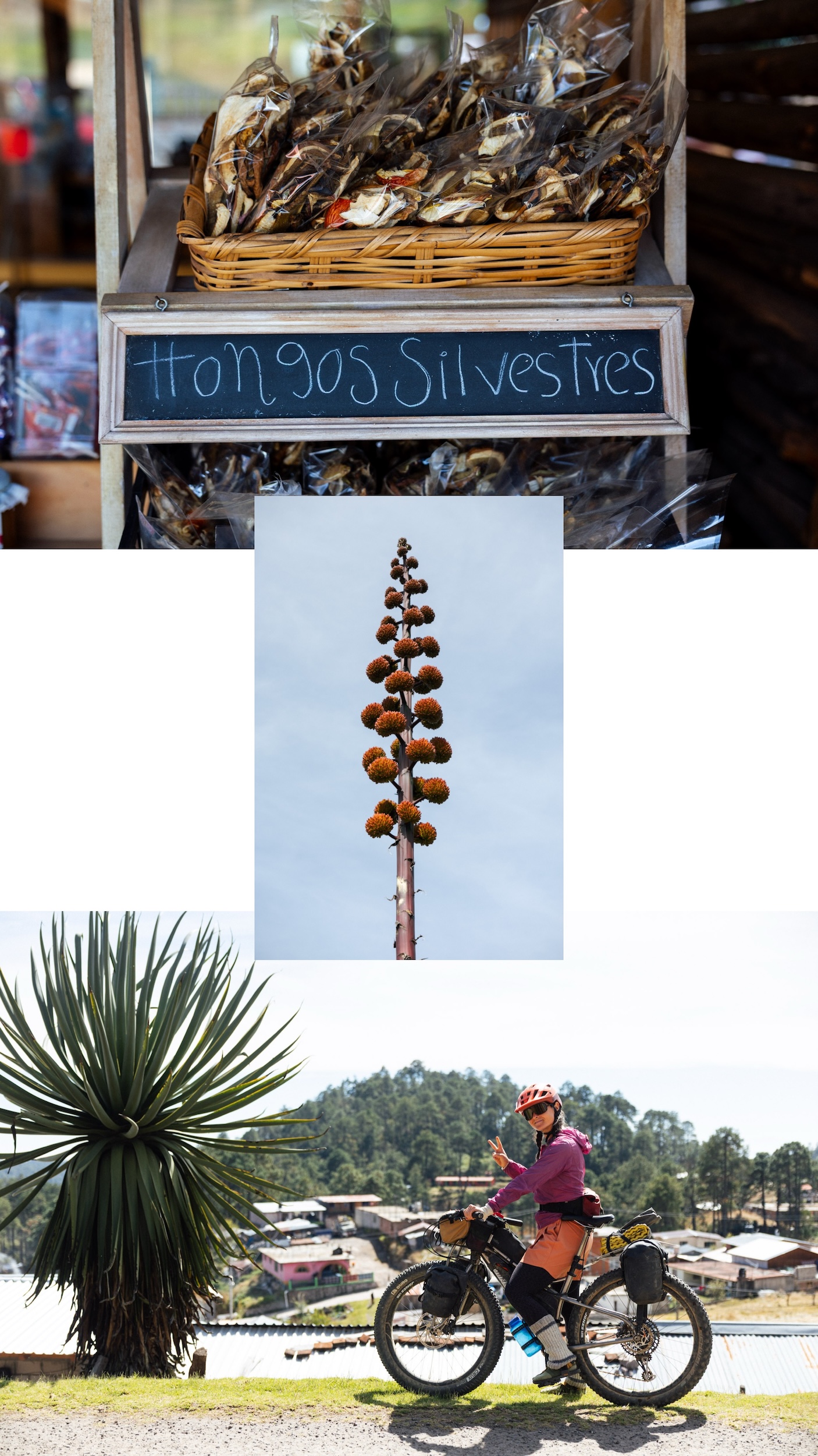
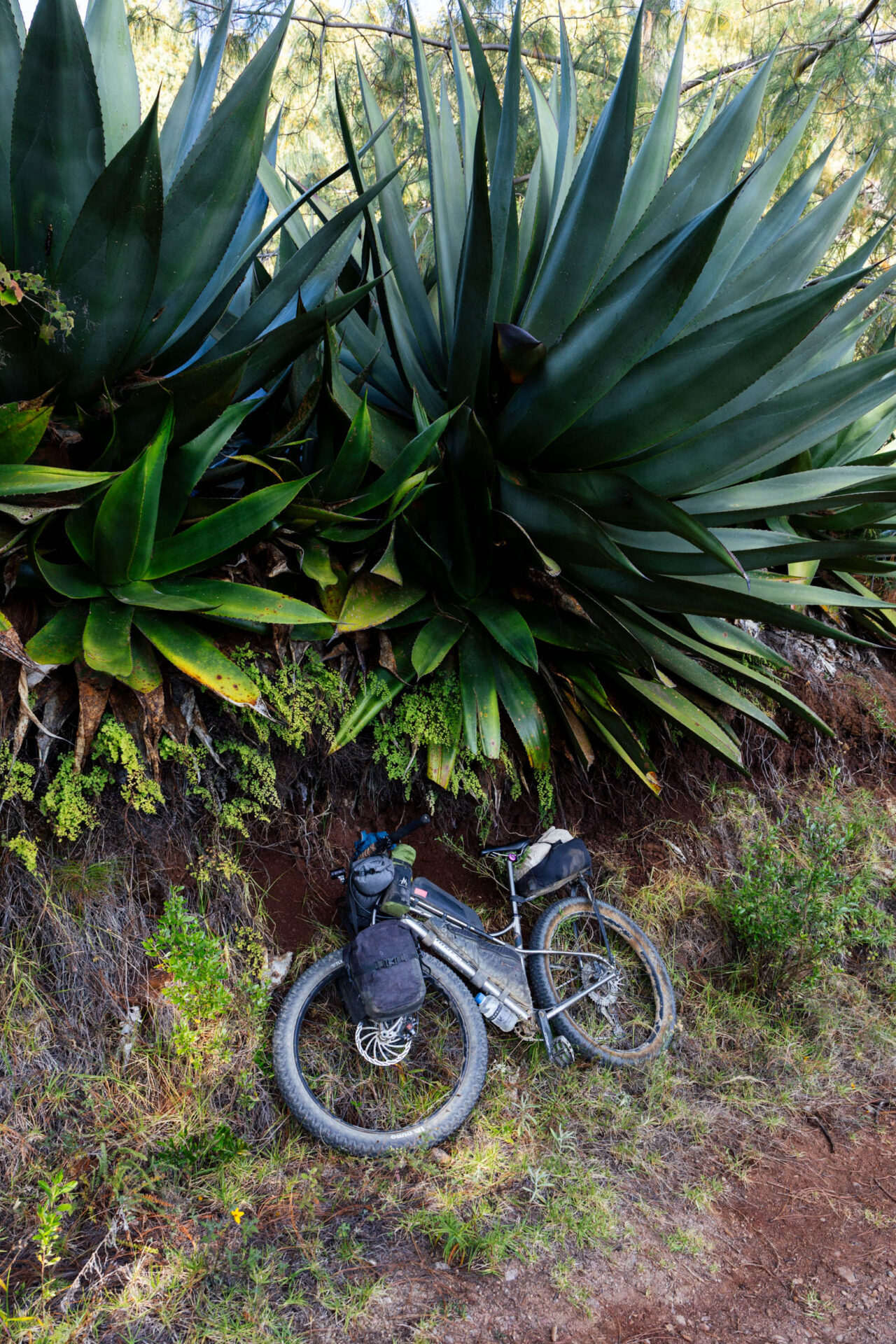
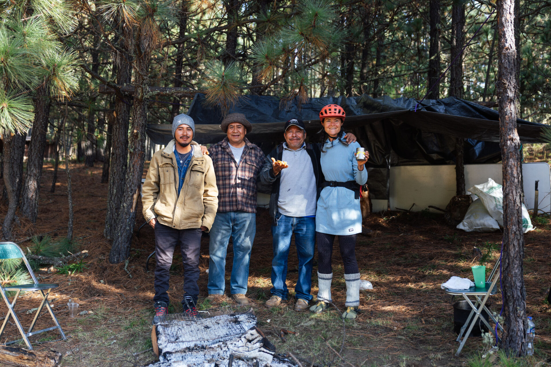
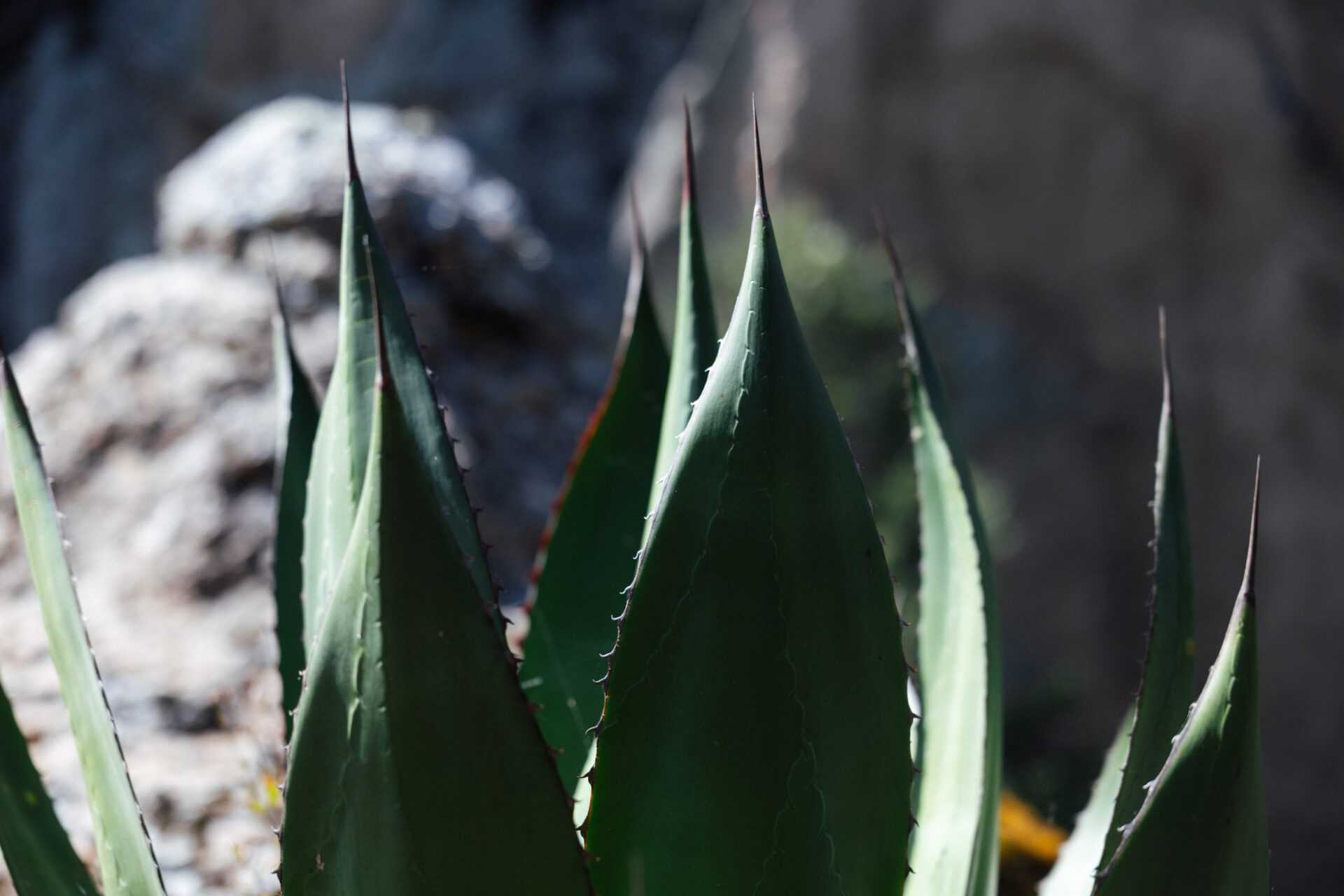
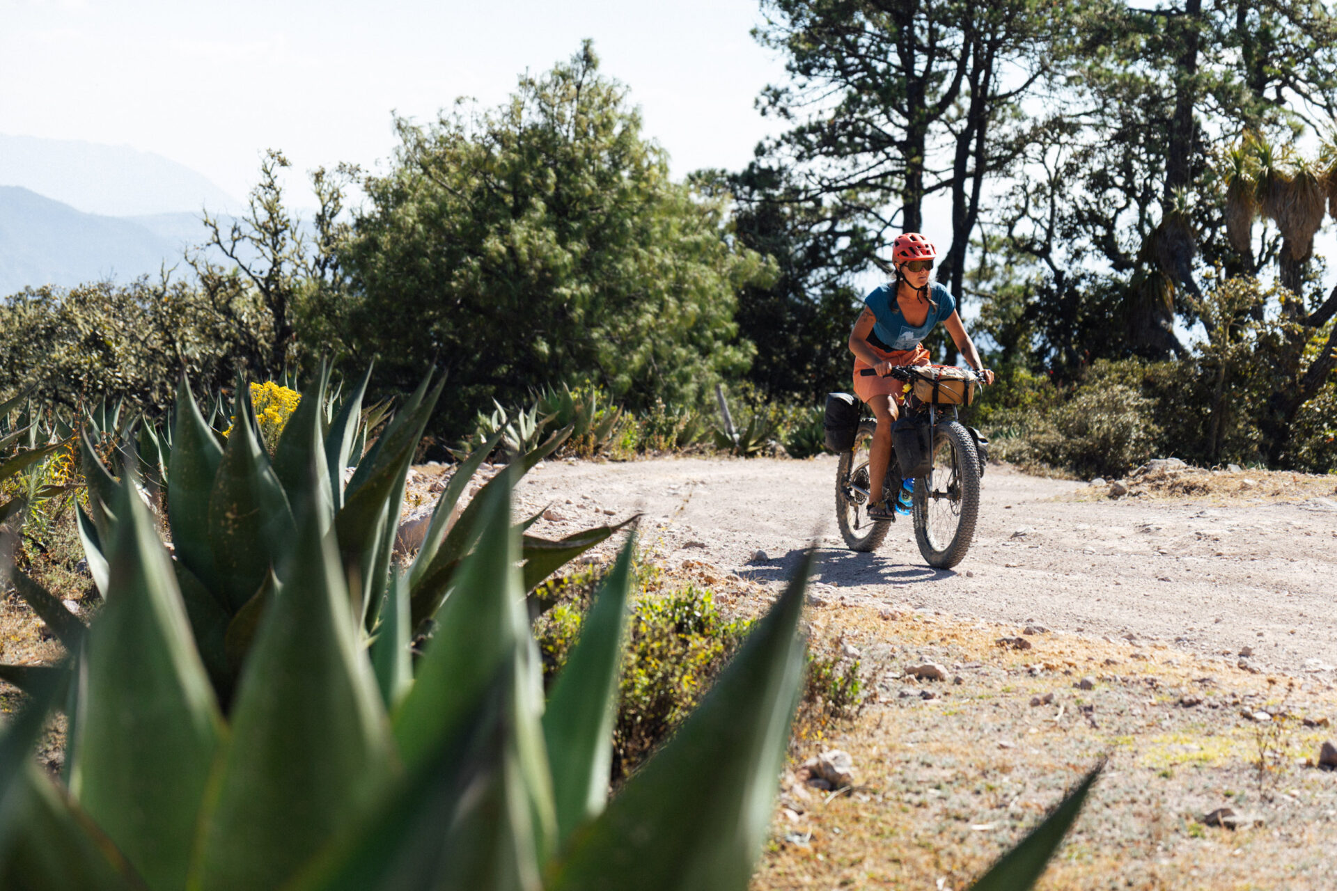
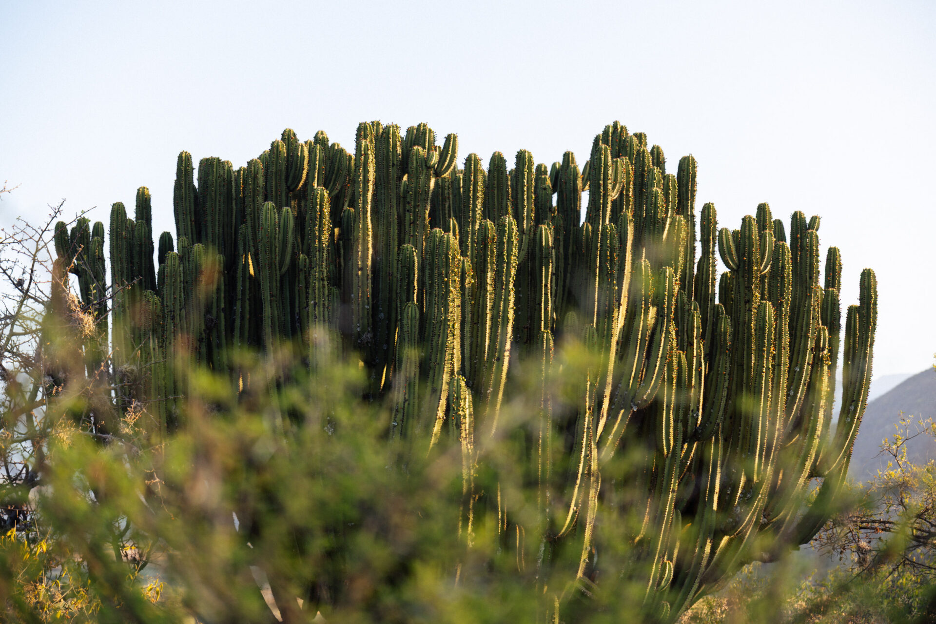
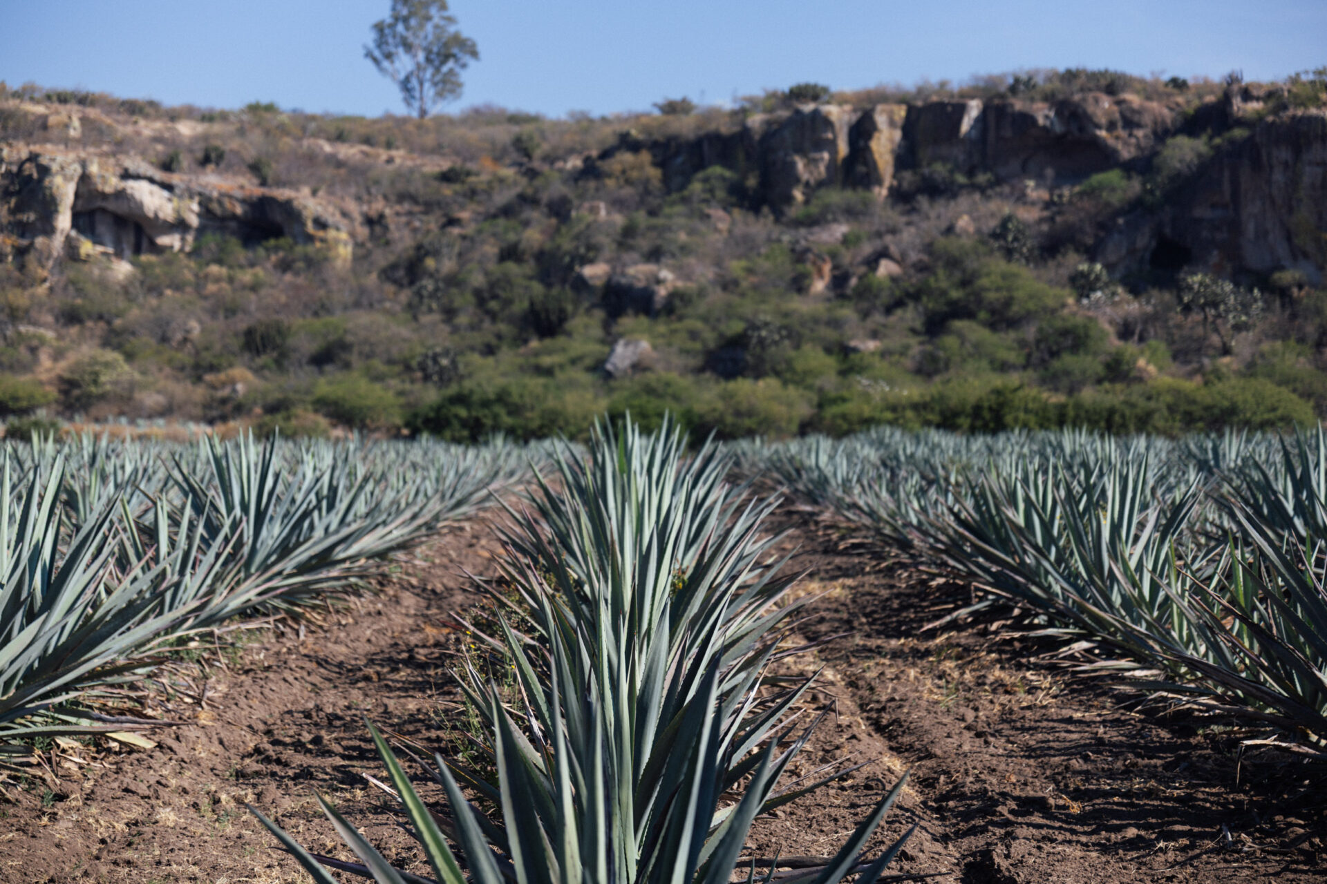
Oh to be back in the high country, amongst giant magueys, wild mushrooms, and yucca… And with Emma too!
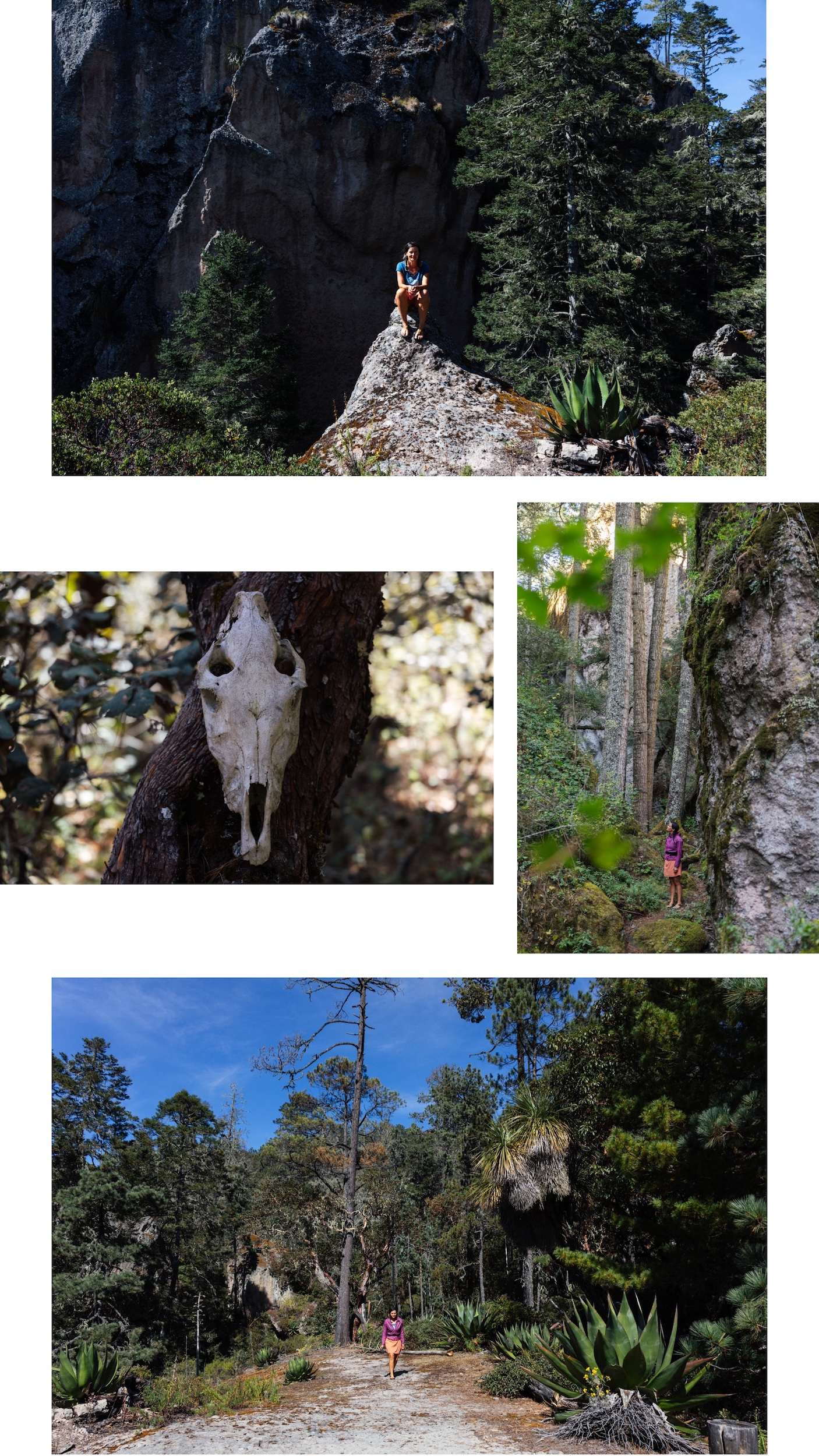
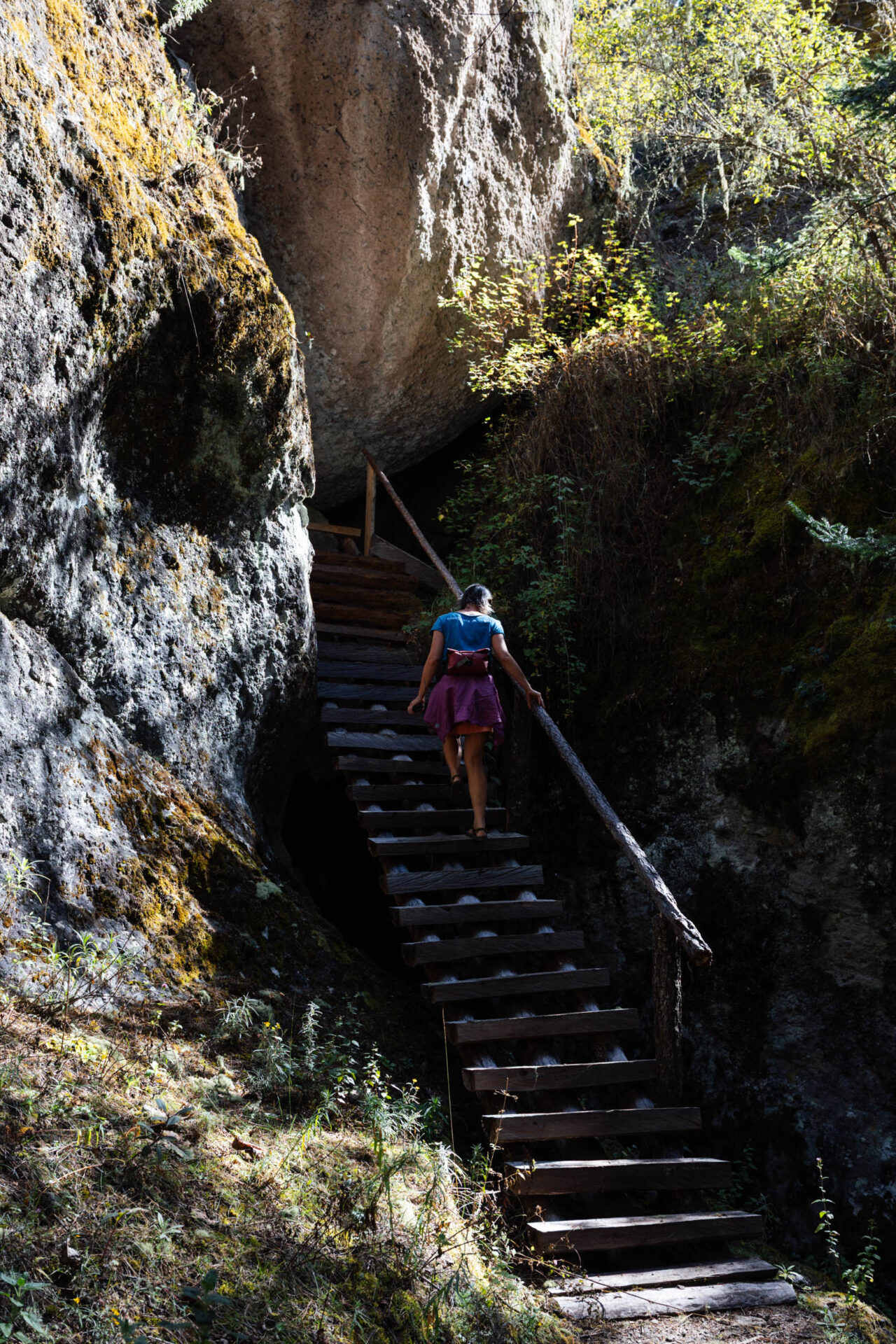
A land of enchantment… The side stroll to La Cueva Iglesia is a highlight of this route, one I discussed in more detail here. It was Emma’s first time exploring the cave, and she was enchanted too.
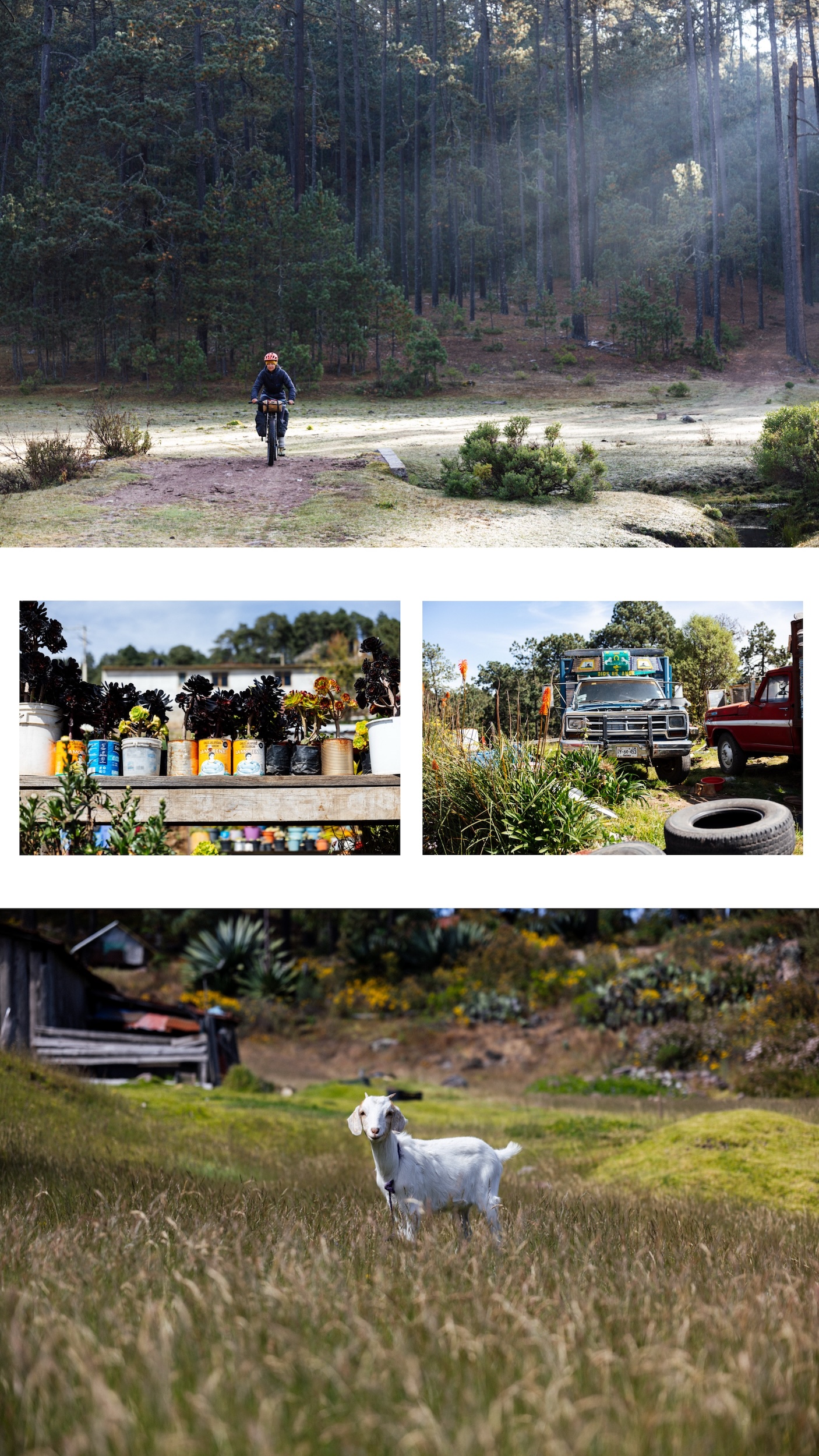
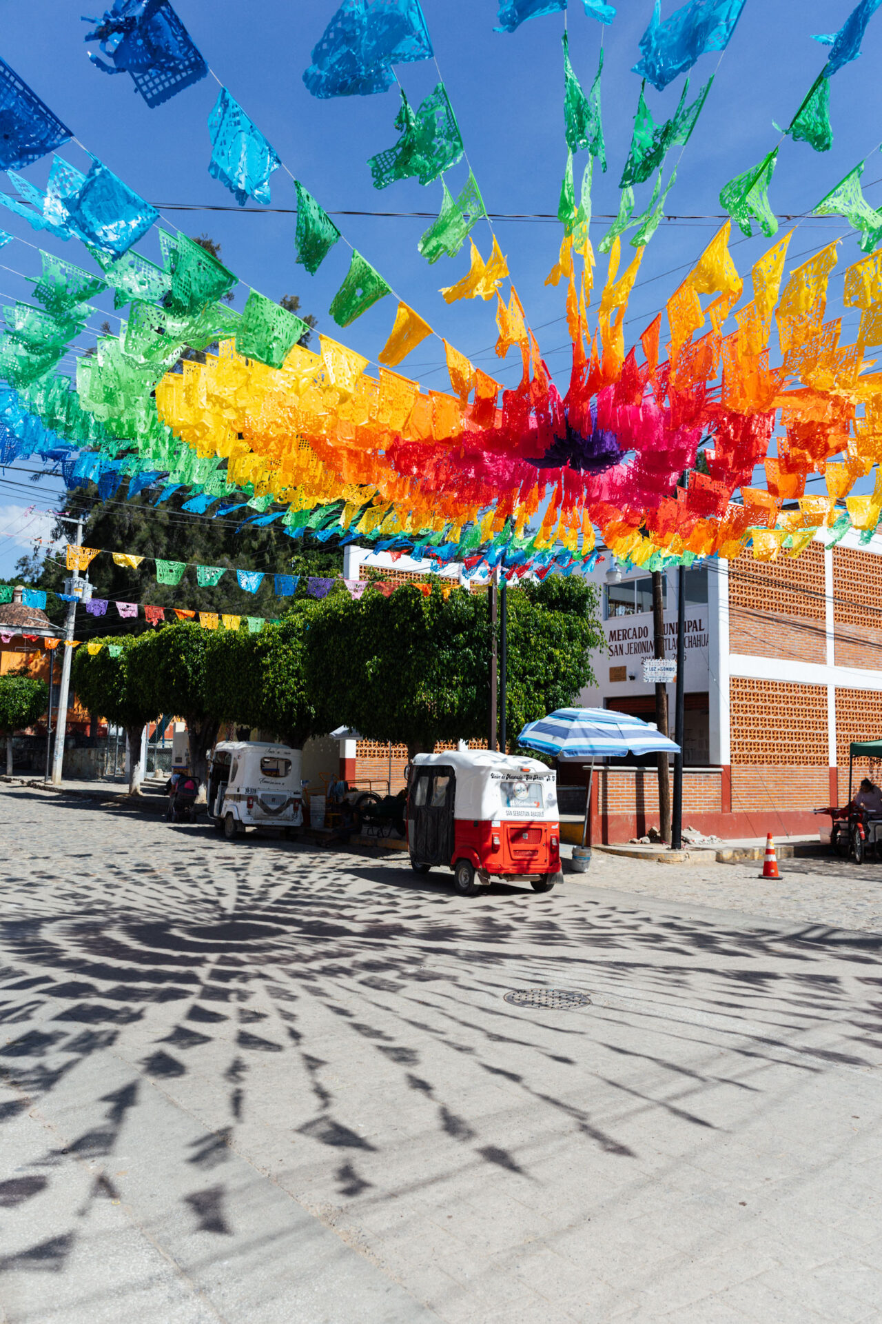
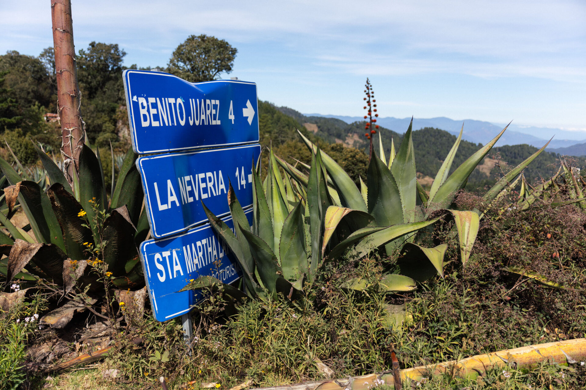
Cuajimoloyas has its own colourful and slapdash charm… old trucks, baby goats, upcycled flower pots, and all.
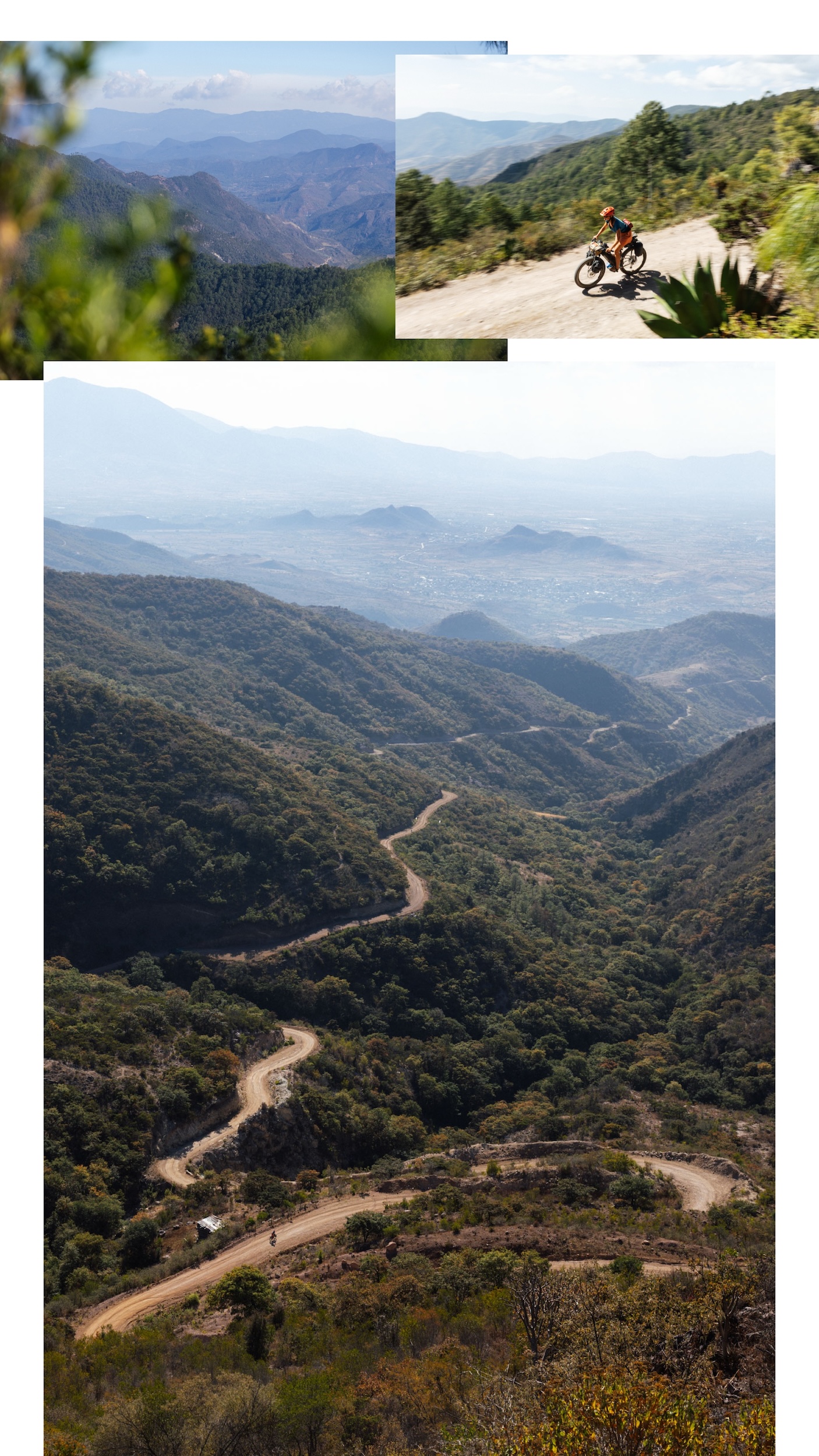
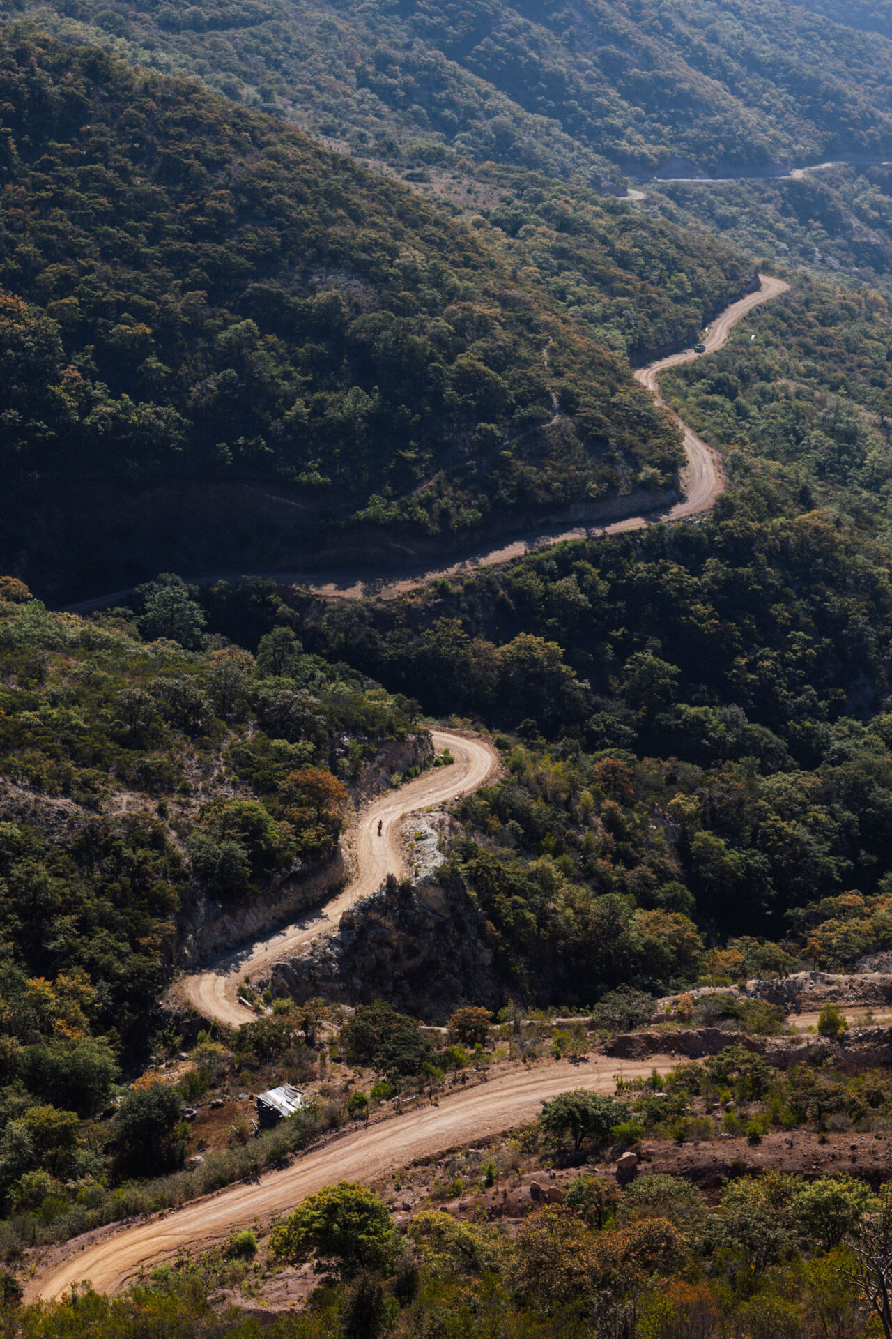
This new-to-us dirt road descent is more shaded than the original route, so there’s that.
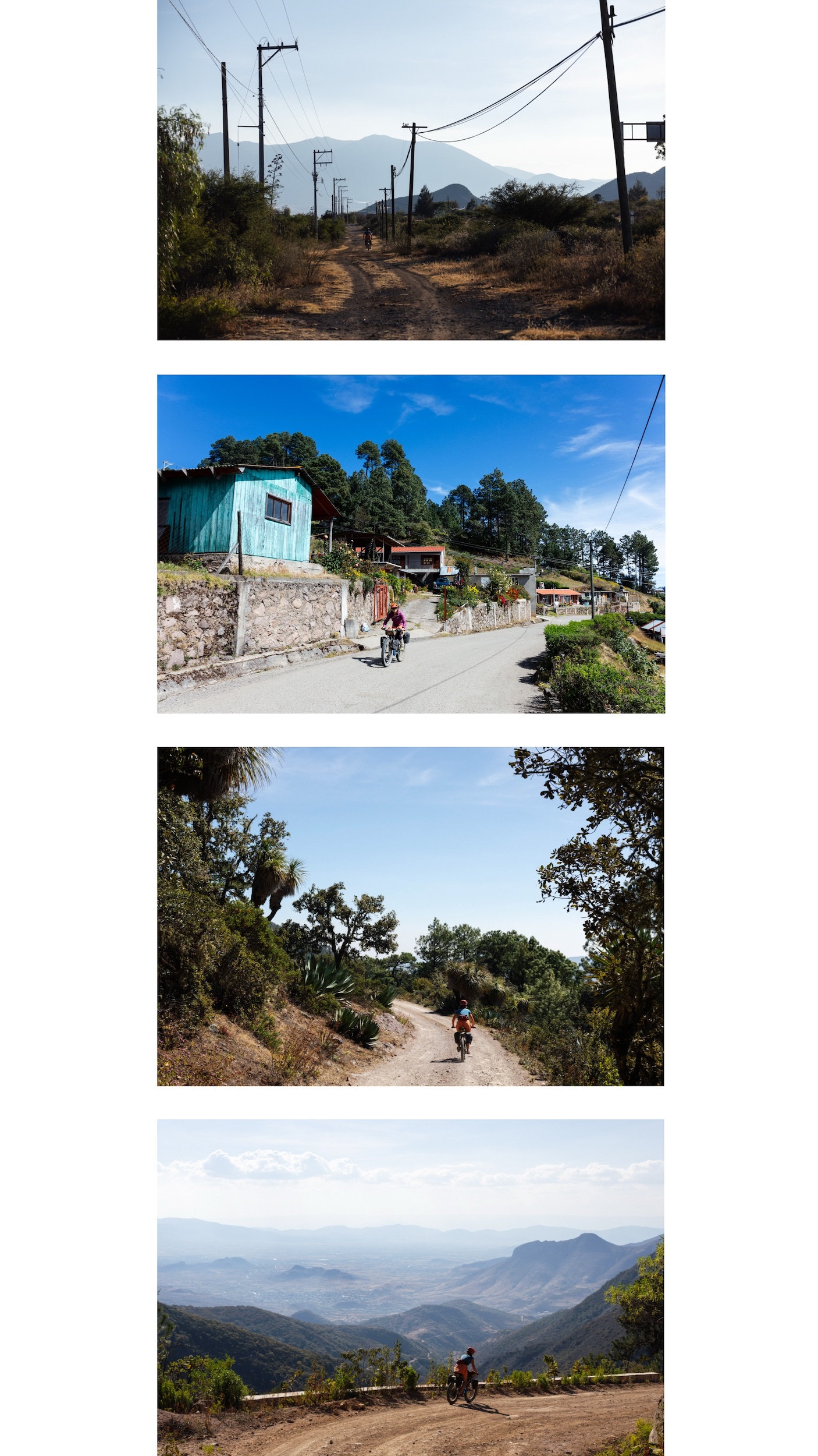
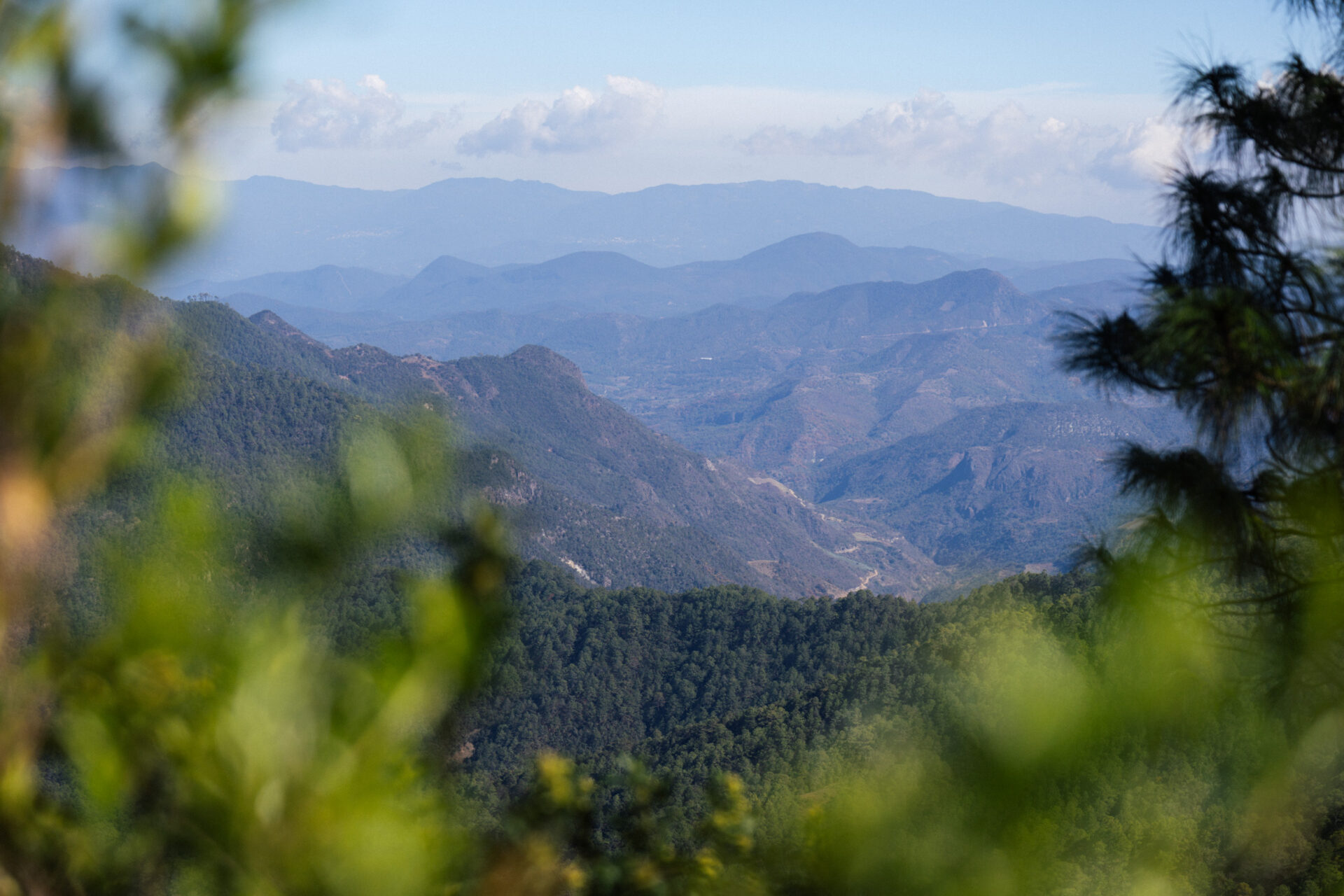
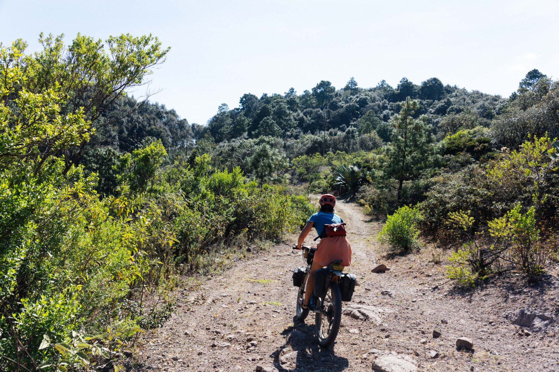
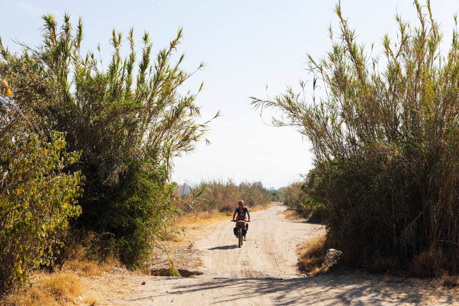
Roads of the Sierra Juáraz.

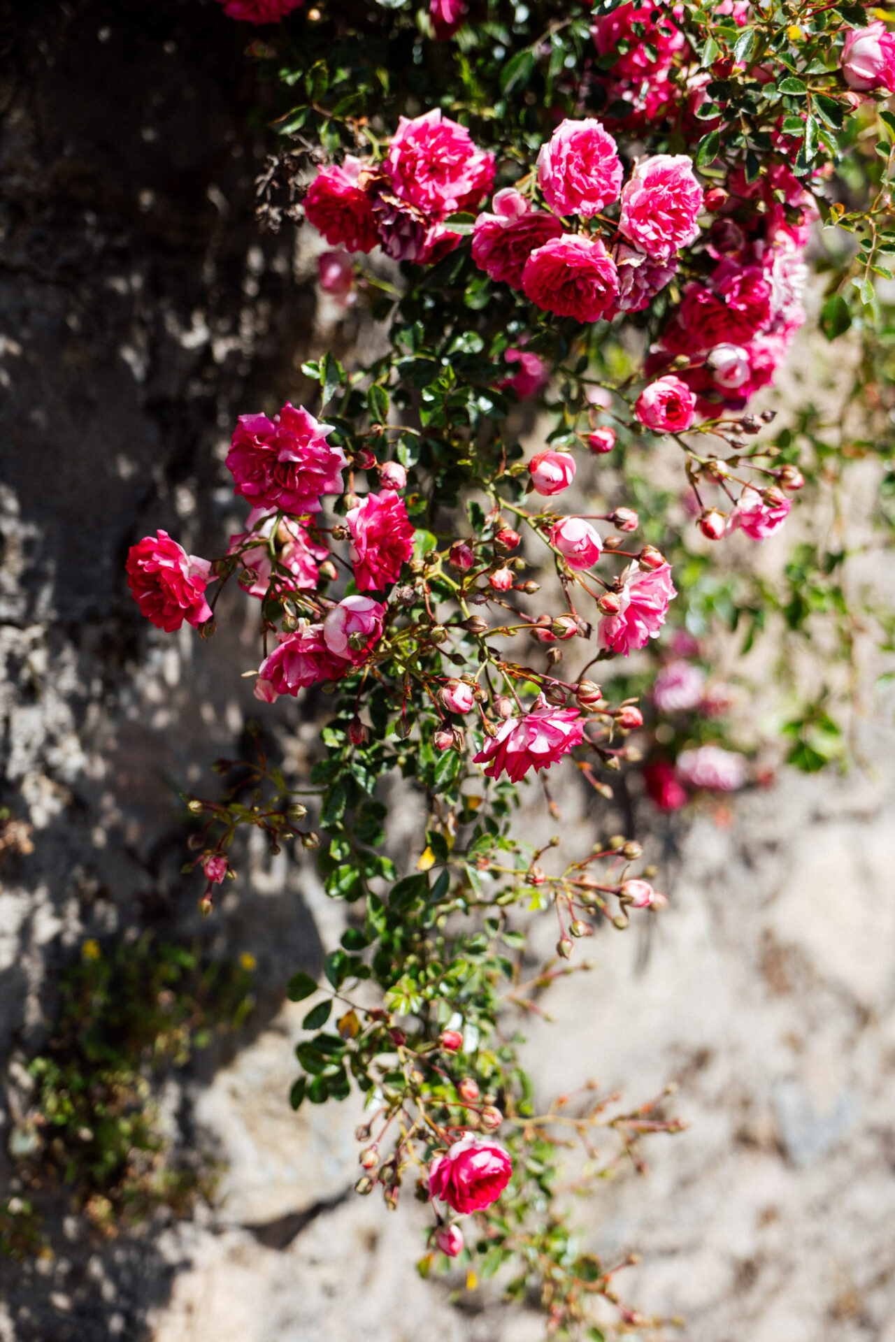
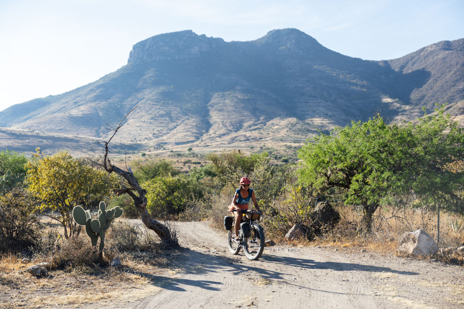
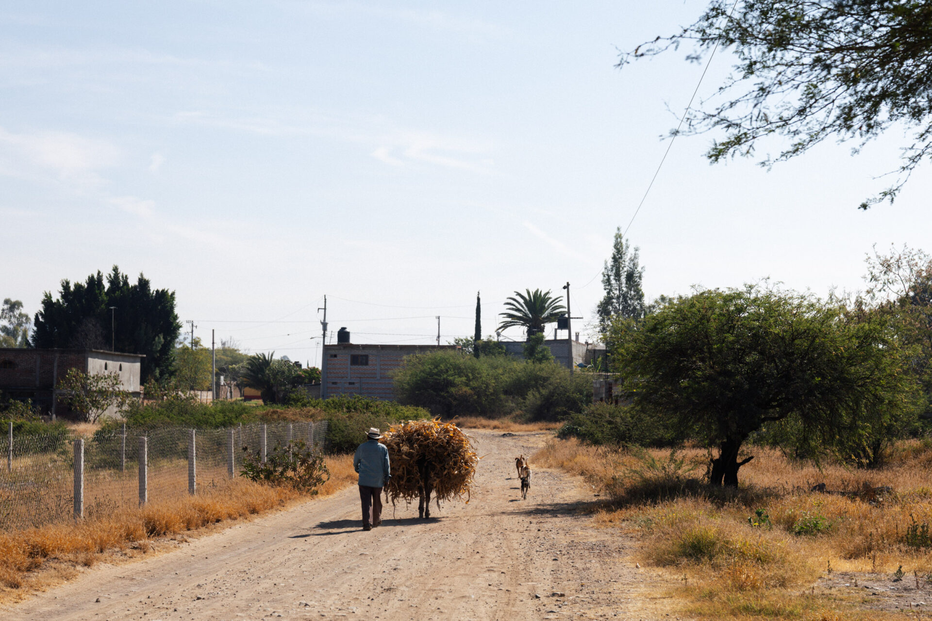
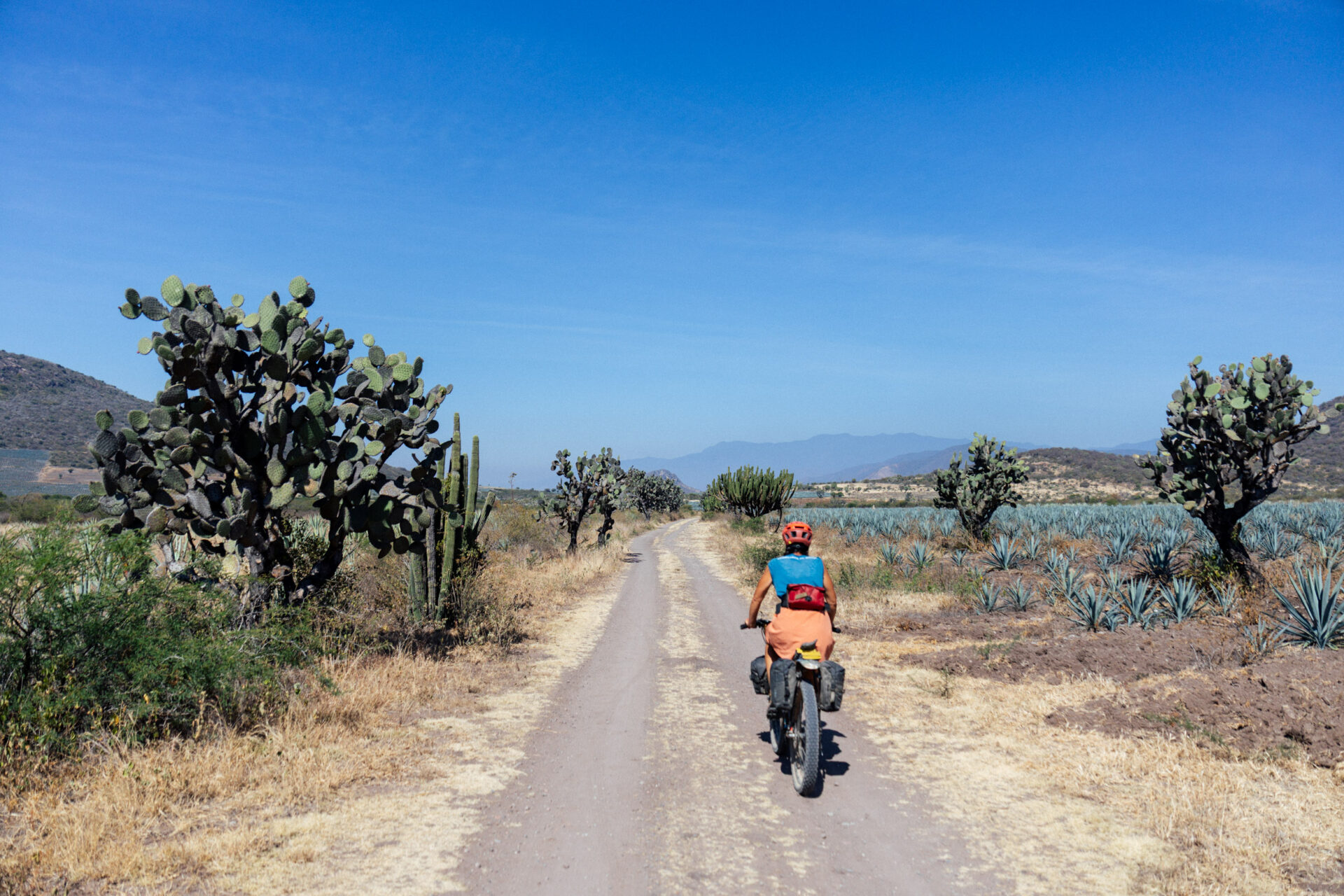
Colours of the campo.
“Cyclonaut Bucke ready for duty. Peace out, planet. I’ll see you on the next moon cycle…”
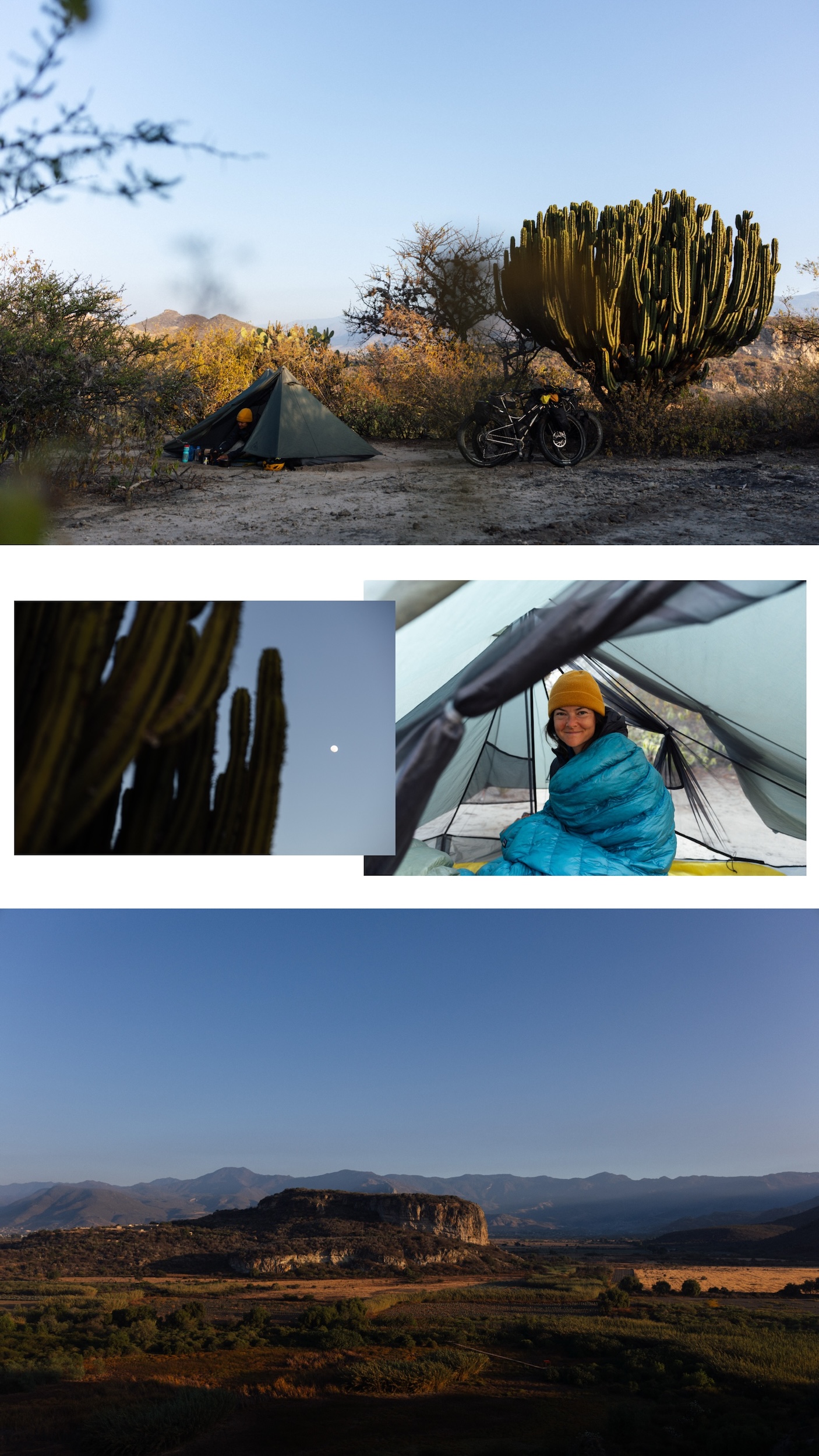
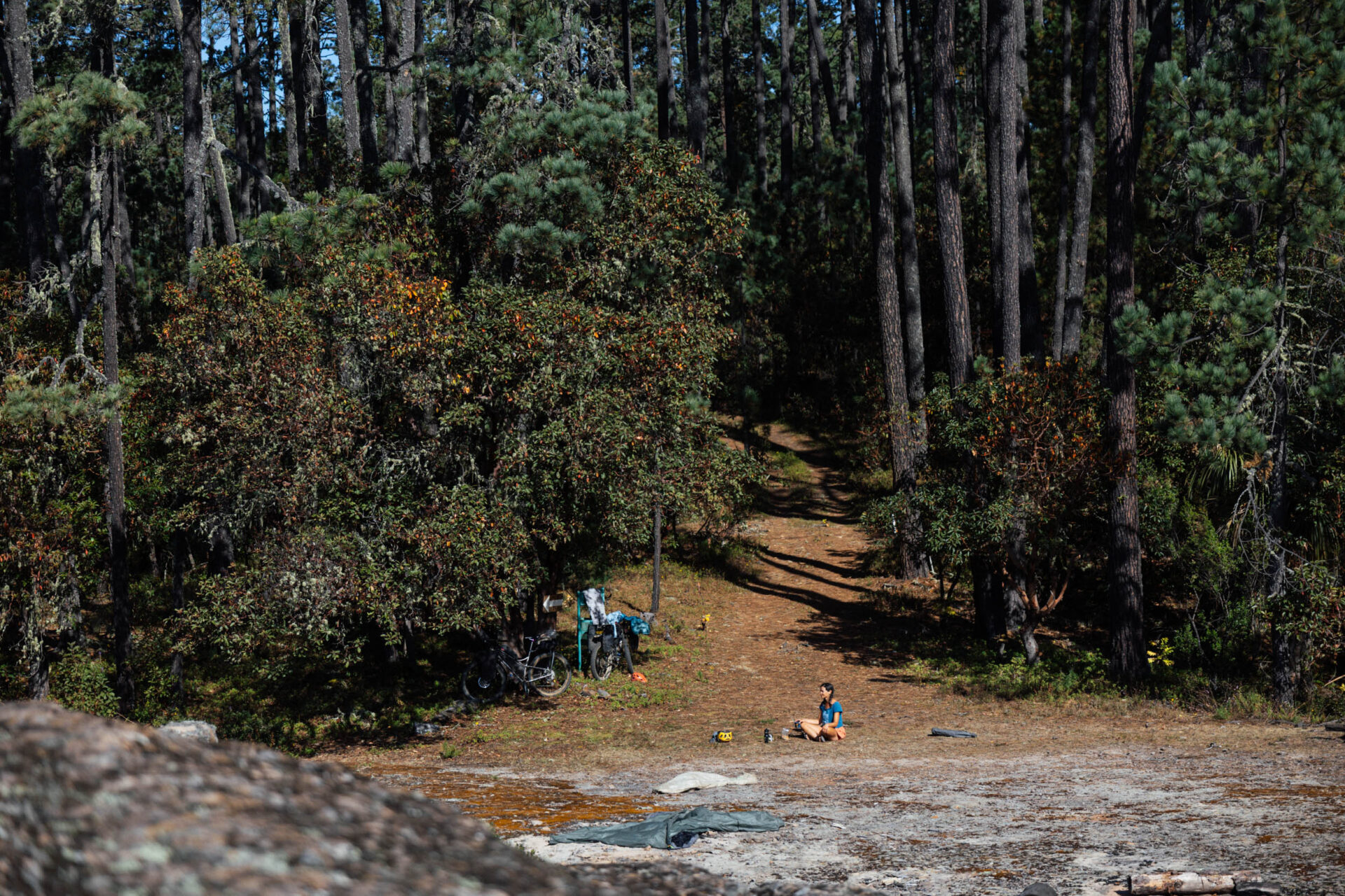
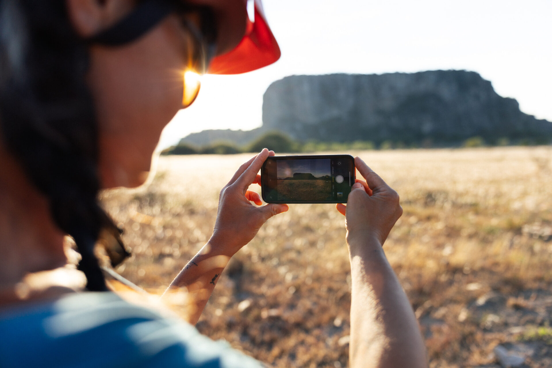
Talking of the moon… we enjoyed its fine company and delightfully ambiguous conversation, whilst looking back towards the mighty flank of the Sierra Norte… from where we’d ridden.
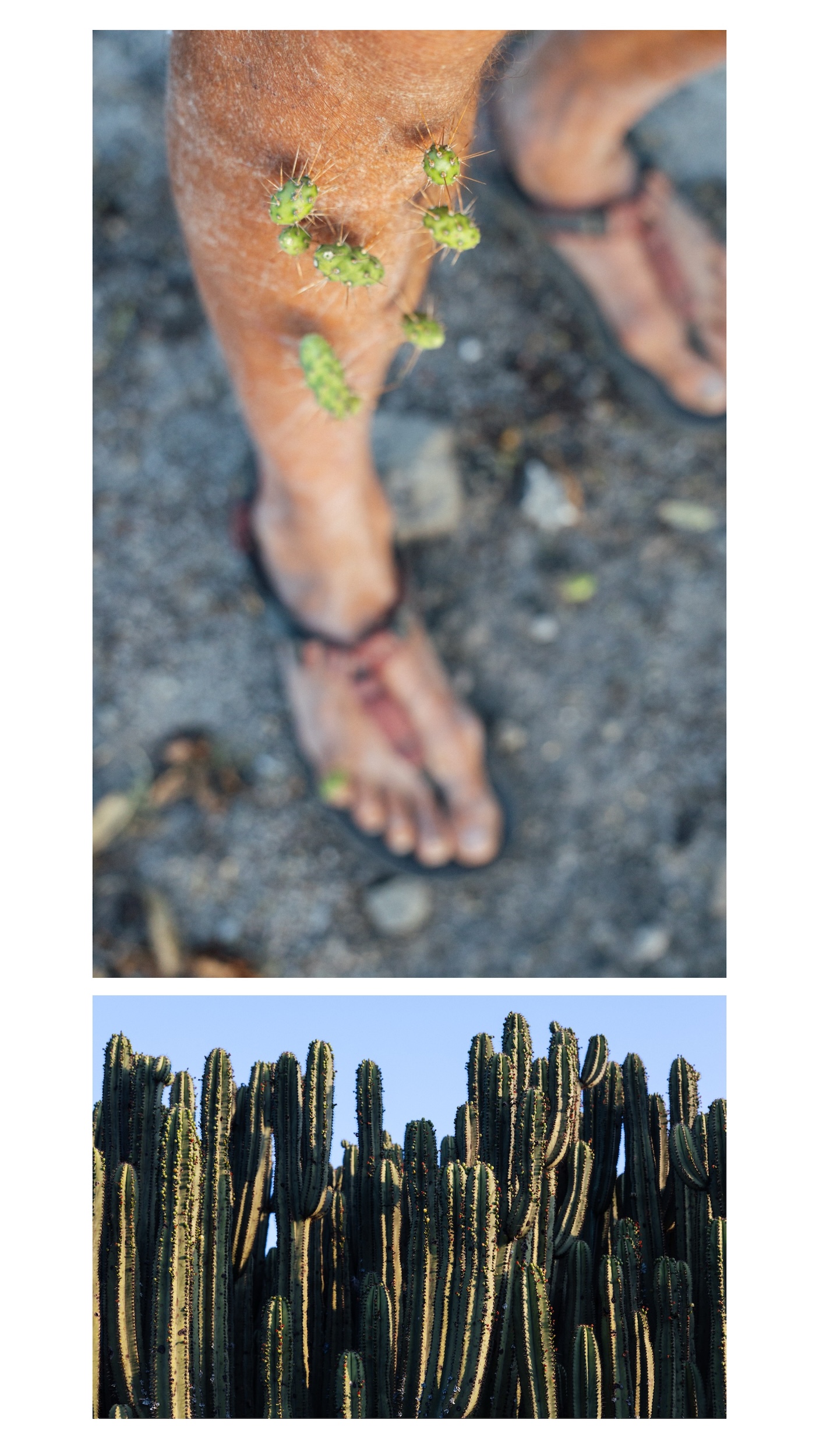
Did I mention tyre sealant is a good idea??
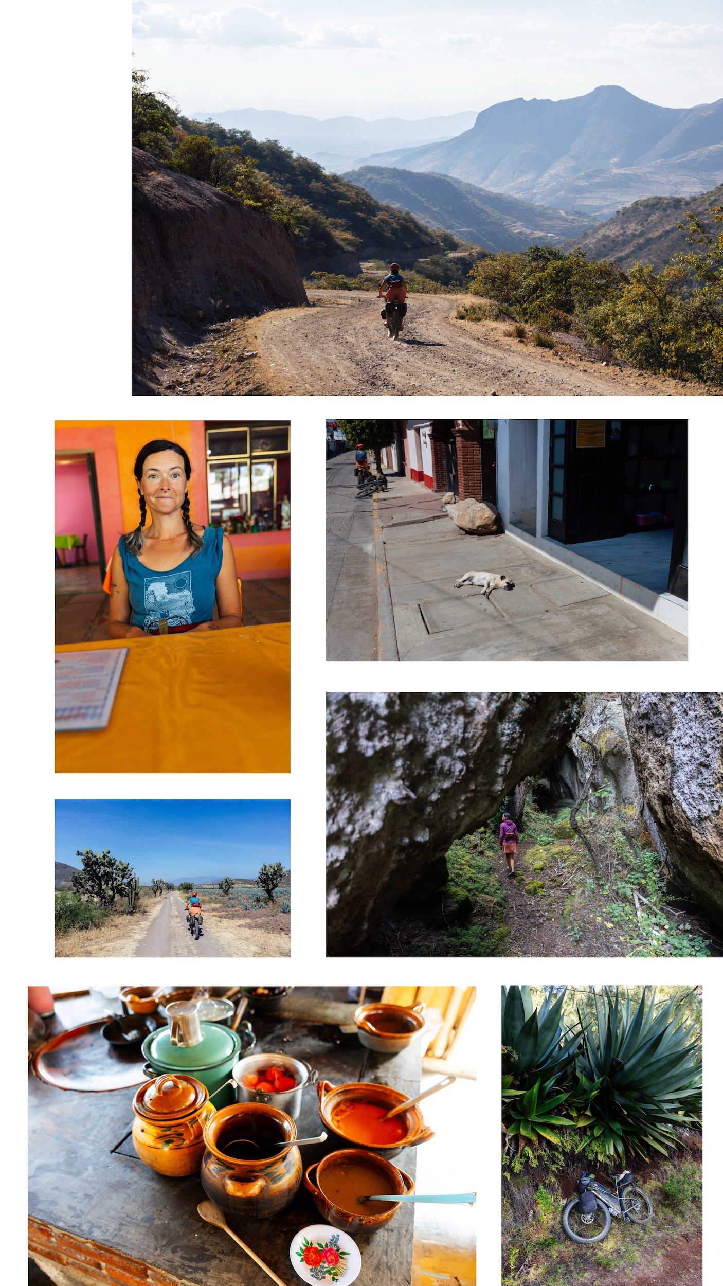
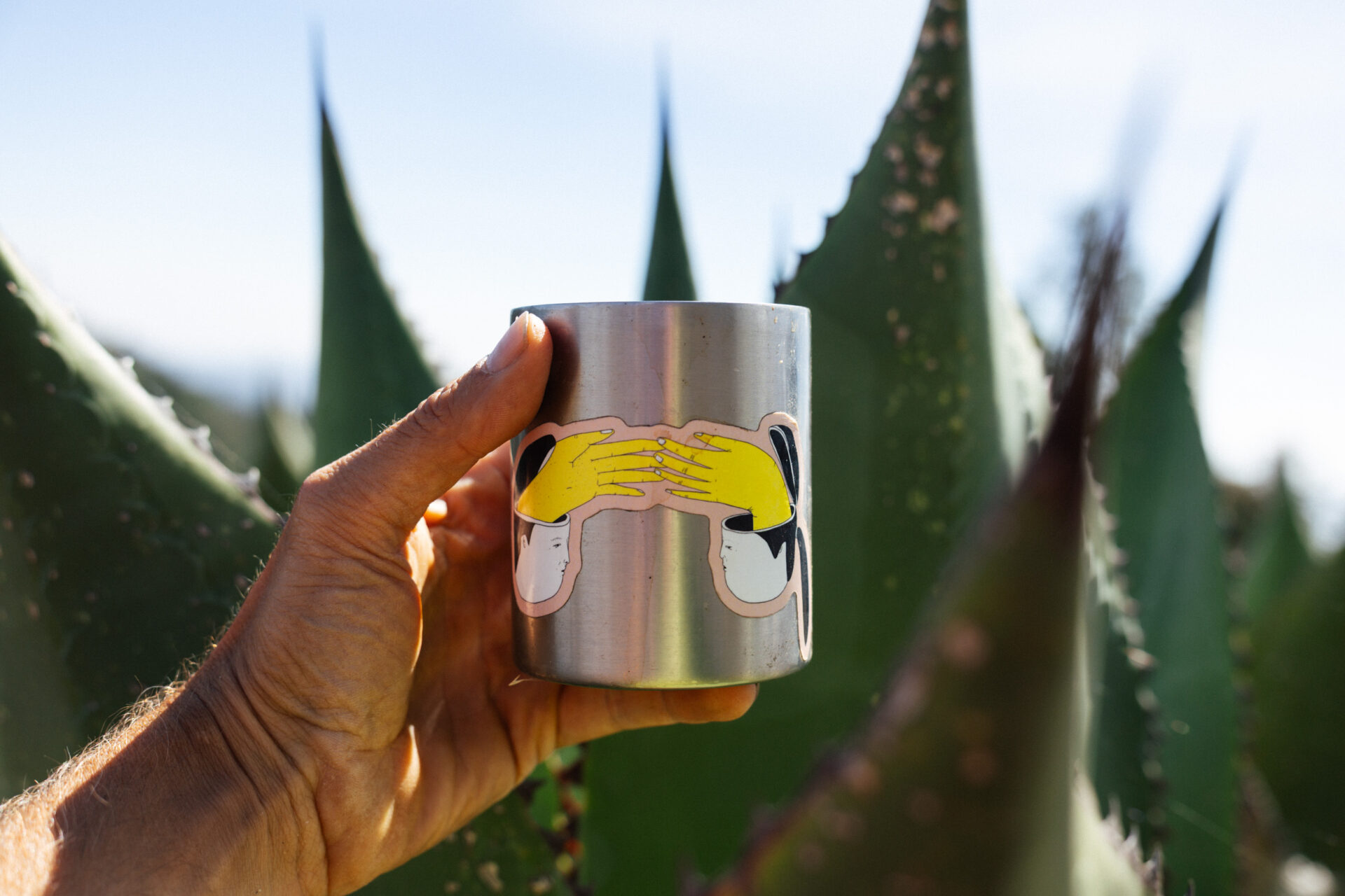
Thank you, Oaxaca… always packing in the memories and the magueys.
CHRONOLOGICALish GALLERY
More pics, mostly in order.

The Route
As mentioned, this loop is very similar to the route we posted on bikepacking.com – Vuelta a Los Pueblos Mancomunados – with a bonus detour out to la Cueva Iglesia, which is something I’d highly recommend. The original post has lots more POIs.
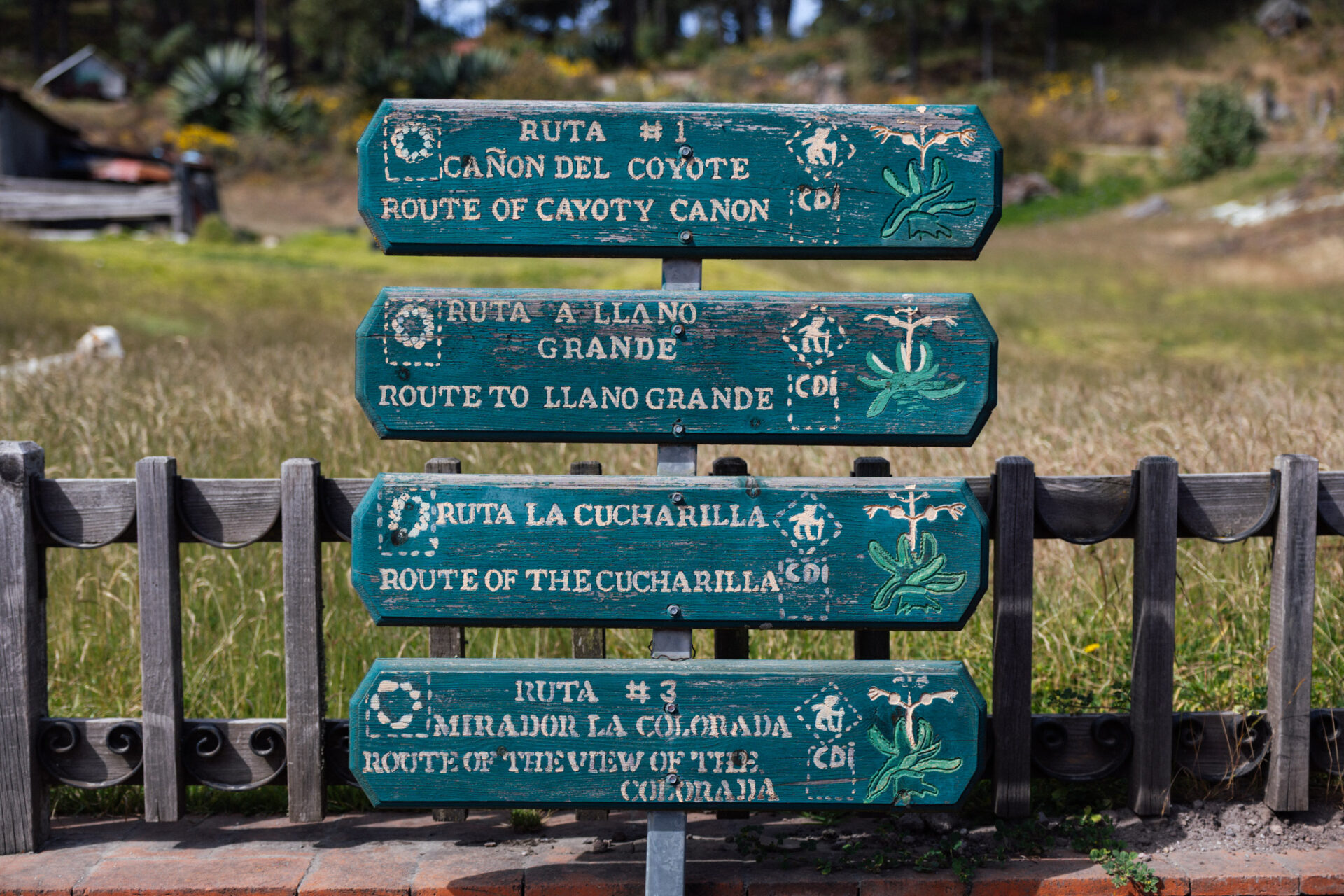
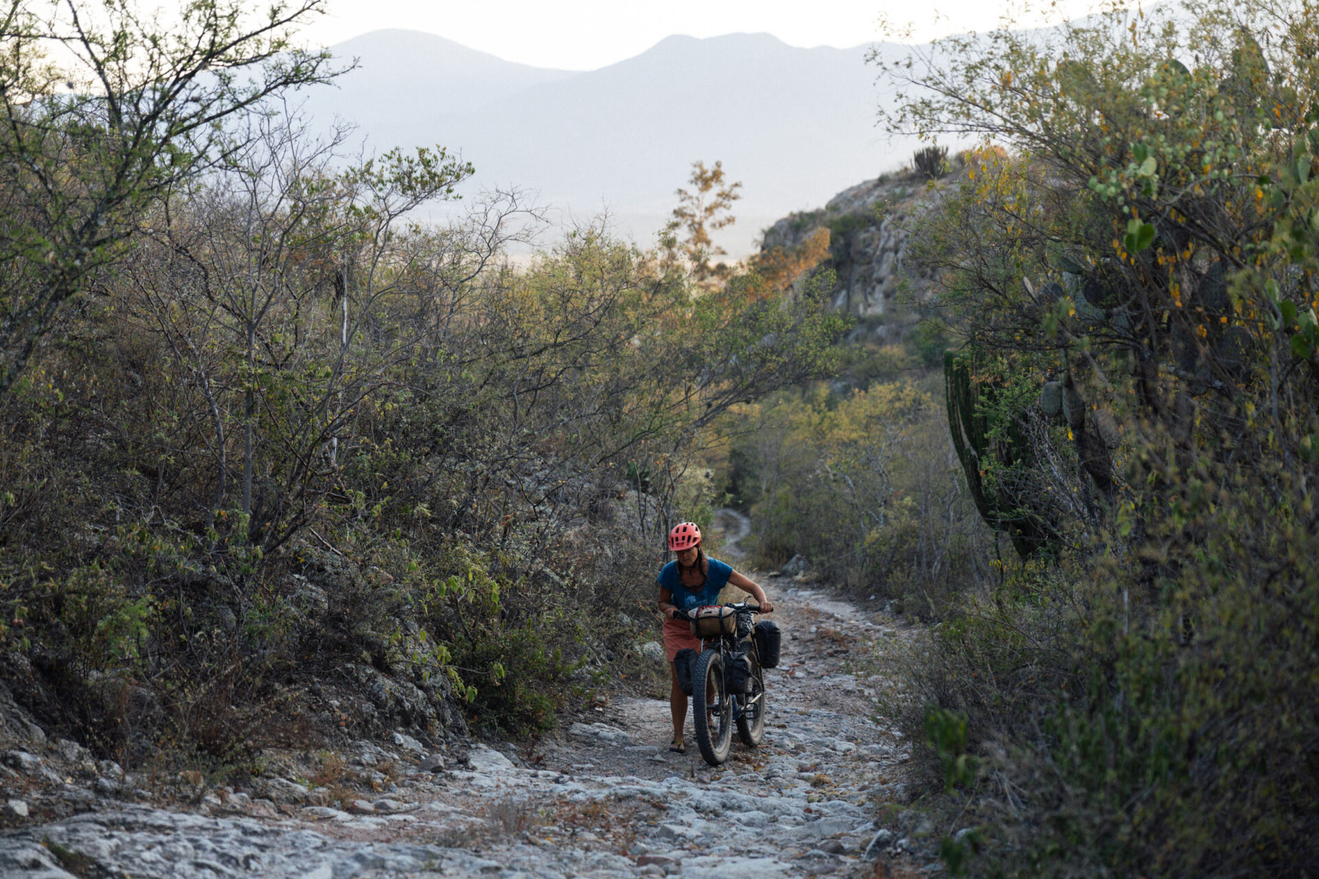
As for the Cueva Iglesia, look out for the hiking sign – it’s a counter clockwise loop that delves deep into a cave complex, climbing back out on the other side. It takes about half an hour to hike the loop, and there’s a couple of little side trails too.
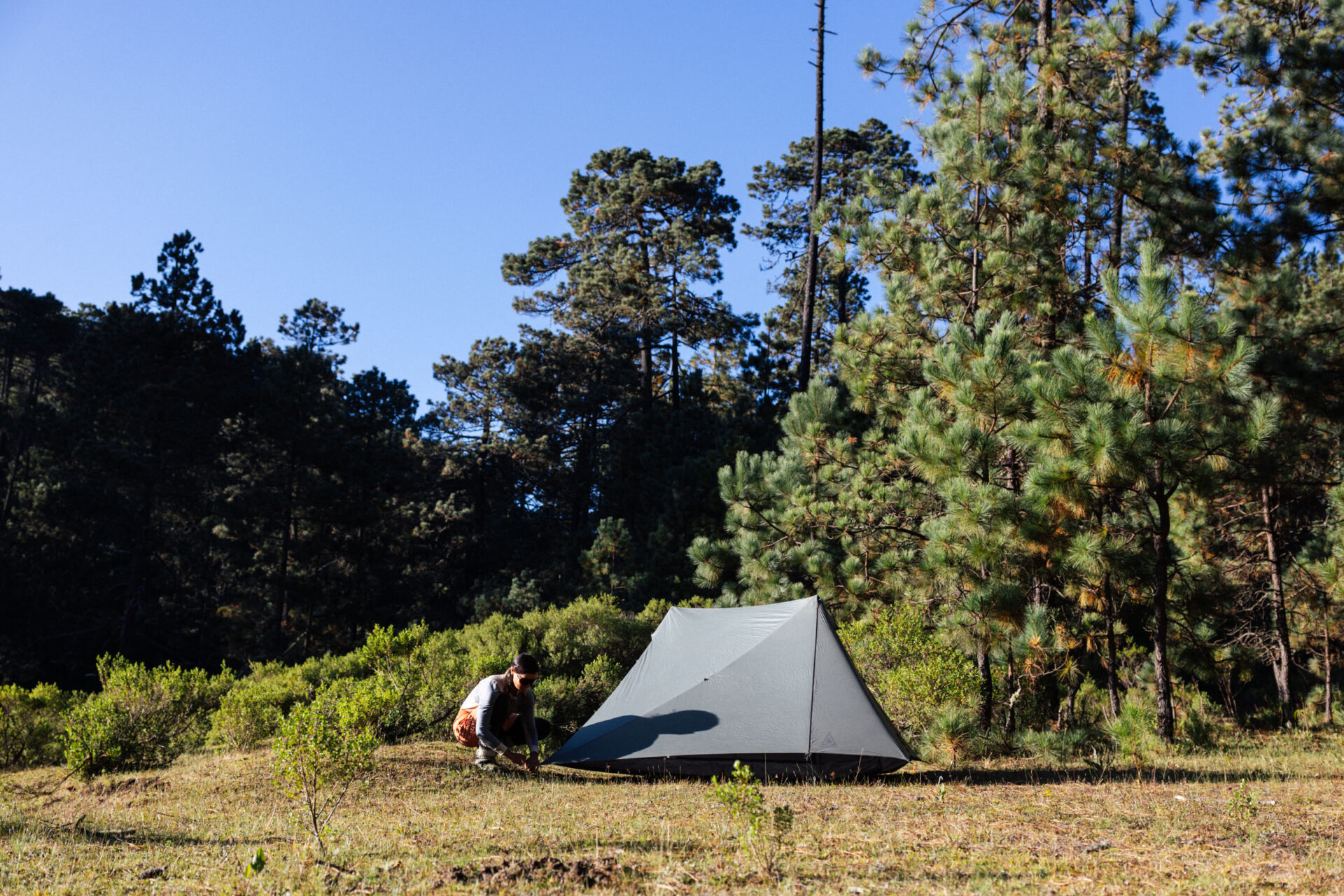
The descent we took out of the Sierra Norte is a bit different to the ‘official route’ found on bikepacking.com. It’s definitely shadier but whilst there’s still some great views, the more travelled road is probably the best option if you’re new to the area. Don’t forget to pay your fees for access to the San Miguel Del Valle community – it’s 100 pesos to access the area, plus a 100 pesos per night to camp. A challenge to riding the loop in the direction detailed here is that you’ll have to approach anyone you see and request to make the payment – otherwise, you’ll risk a fine and bad vibes. Unfortunately, this fee can’t be paid in El Carrizal, as it’s a different community.
If you’re looping around in the ‘classic’ direction, San Miguel’s community eco tourism office is at the bottom of town, making logistics easier (as marked on the map). There’s lots of good camping en route to the Cueva Iglesia and plenty of water.
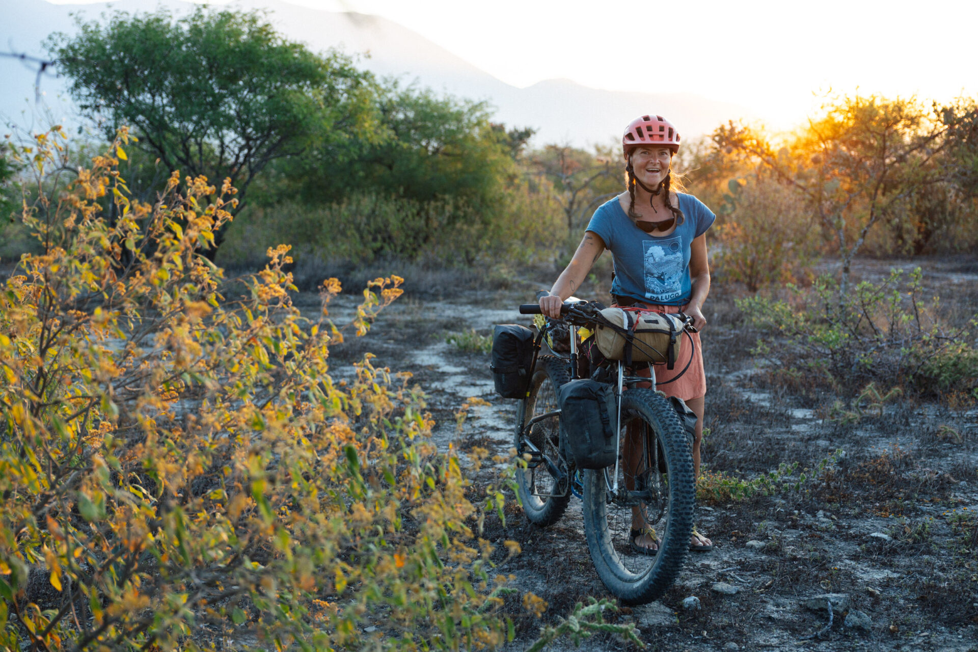
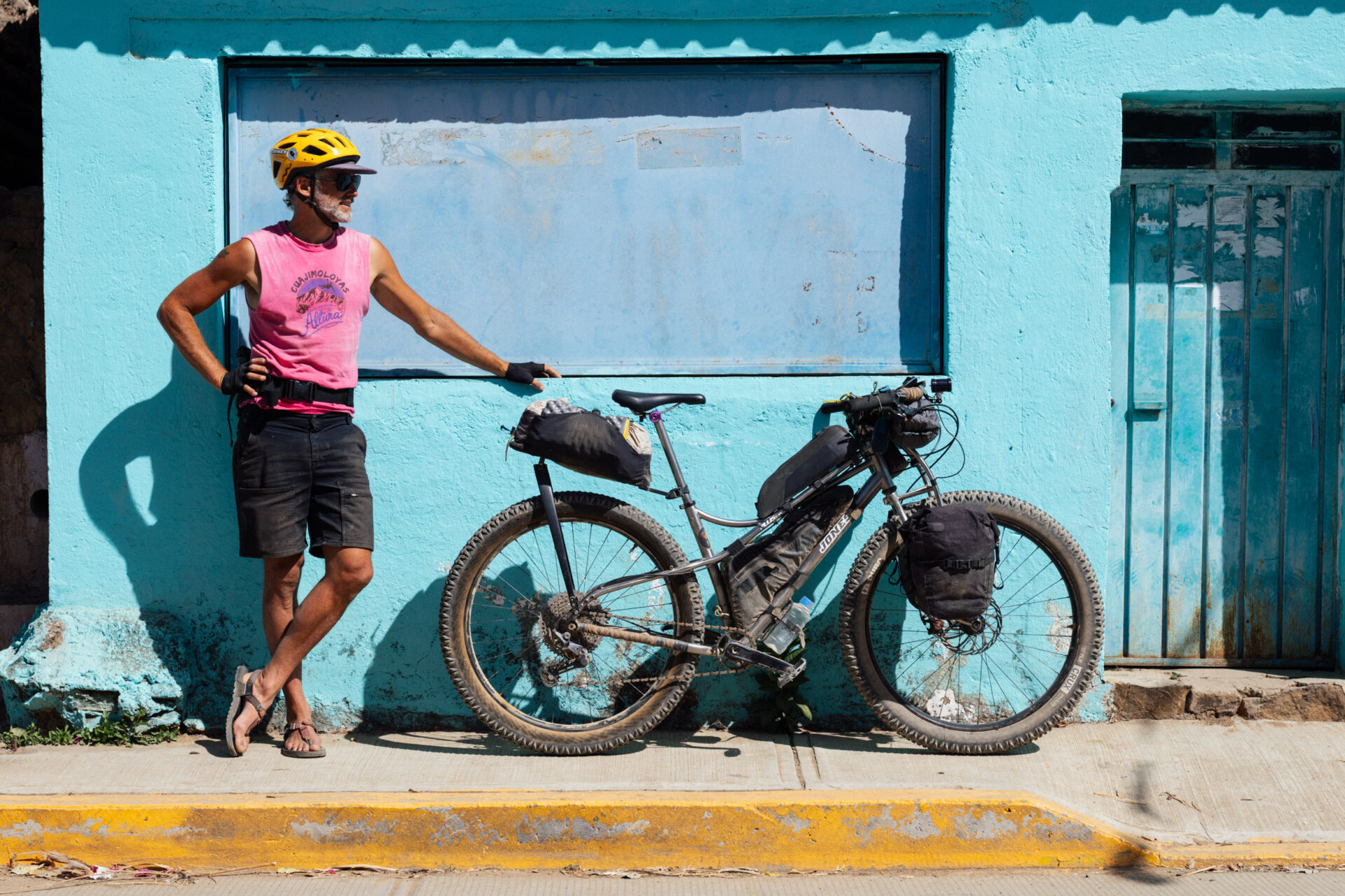
Should you prefer to leave the camping gear behind and indulge in some luxy cabaña-life, pop into the local centro ecoturísticos en route – there’s one in Benito Juarez, Cuajimoloyas, Llano Grande, and El Carrizal – or book it all in advance at their office in town. Serving the largest community in the area, the centro in Cuajimoloyas is particularly well set up to arrange guided hikes, focusing on the likes of medicinal plants and edible mushrooms, which are everywhere in the rainy season. There’s a bread making tour/class, too. You can also get lovely local produce there – like dried mushrooms, blackberry preserves, and jarred peaches. We bought some delicious mountain honey, which I’m enjoying on a piece of bread and butter whilst writing this. If you’re looking to add to your collection, one of the shops has snazzy and colourful Cuajimoloyas – Una Aventura de Altura – t shirts, too. Mine is hot pink, and of course, I cut the sleeves off.
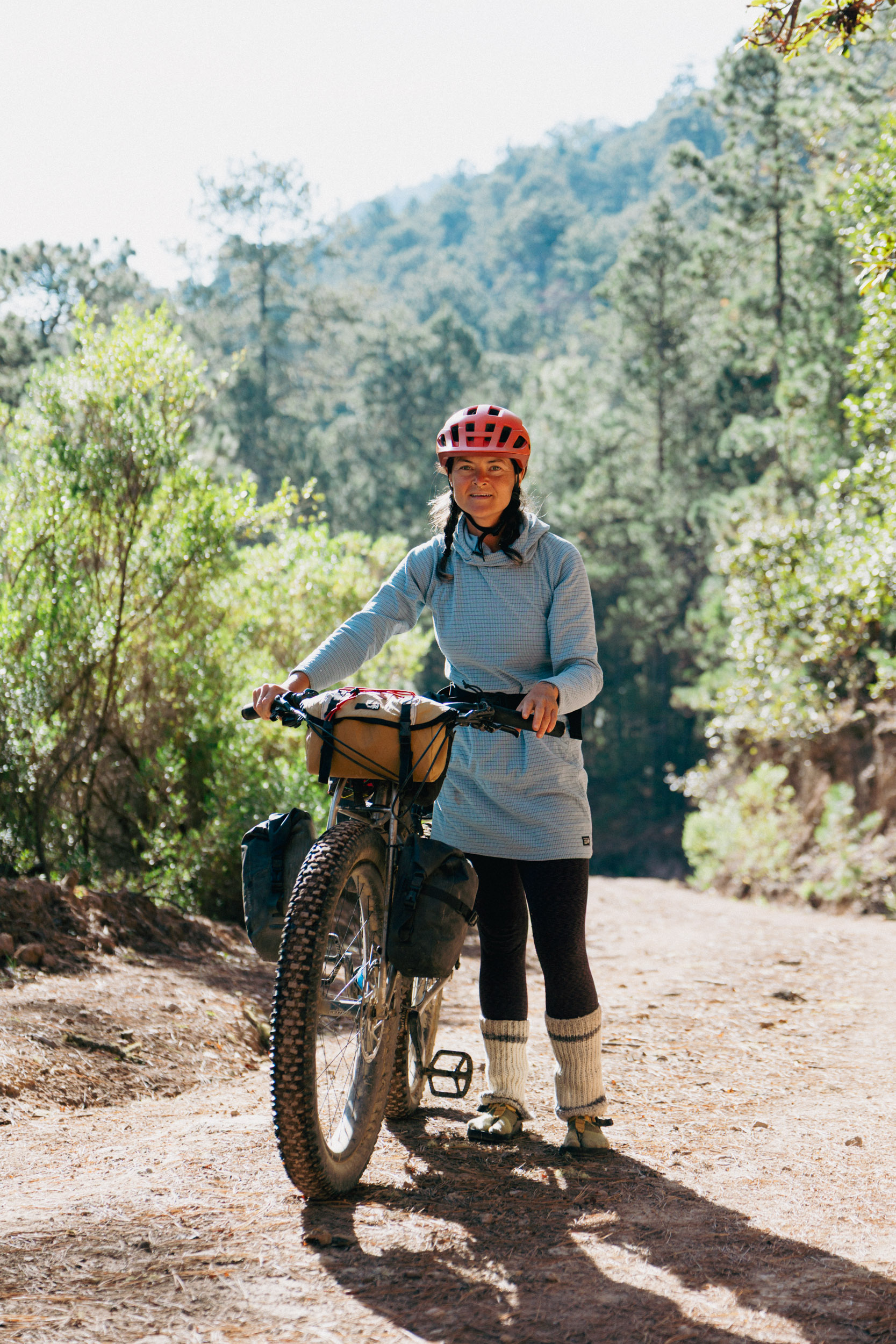
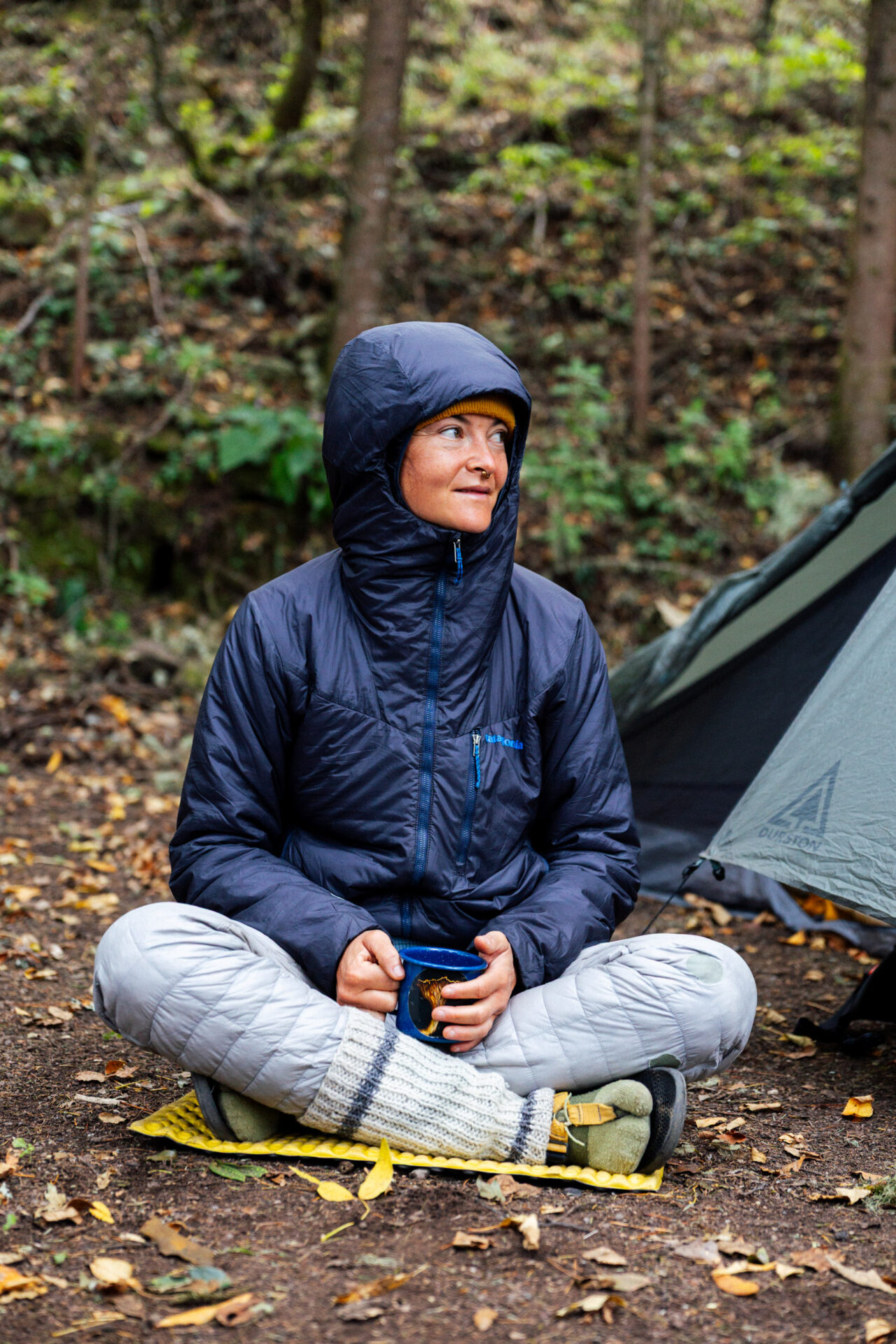
This ain’t the valley, compadres… don’t forget your layers!
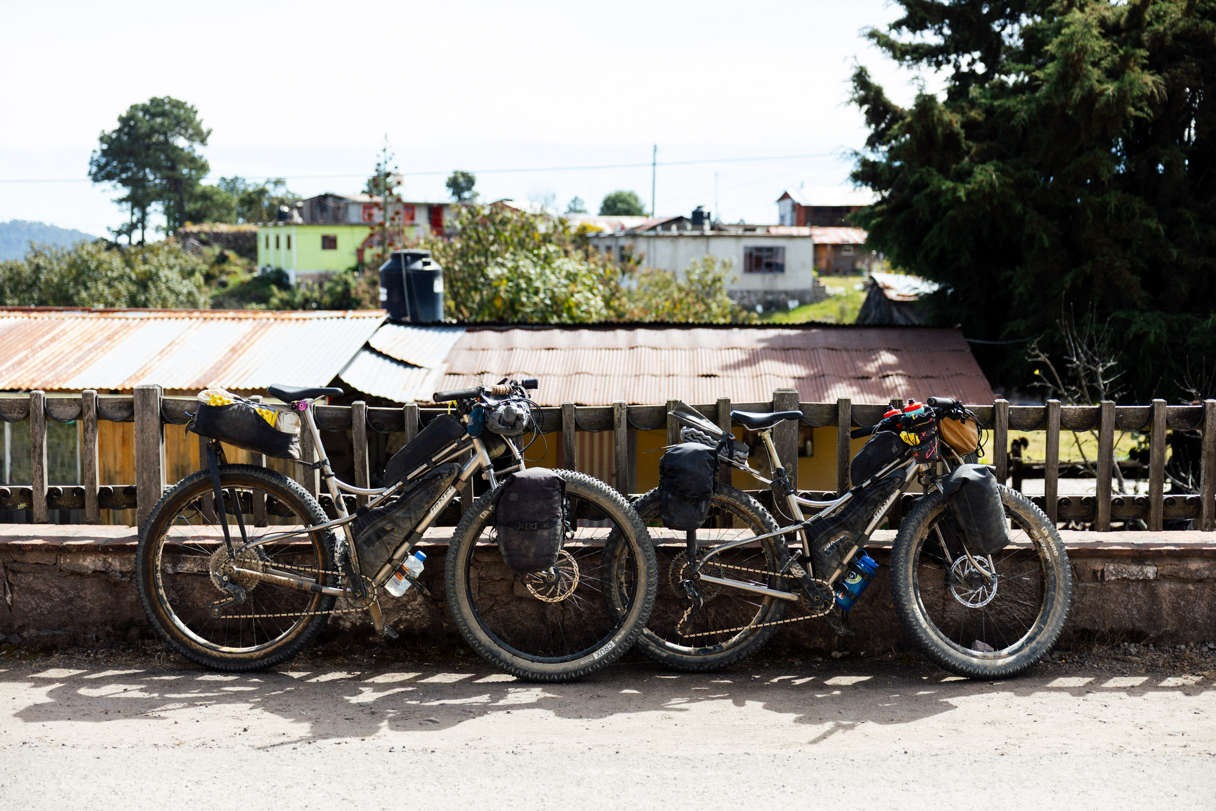
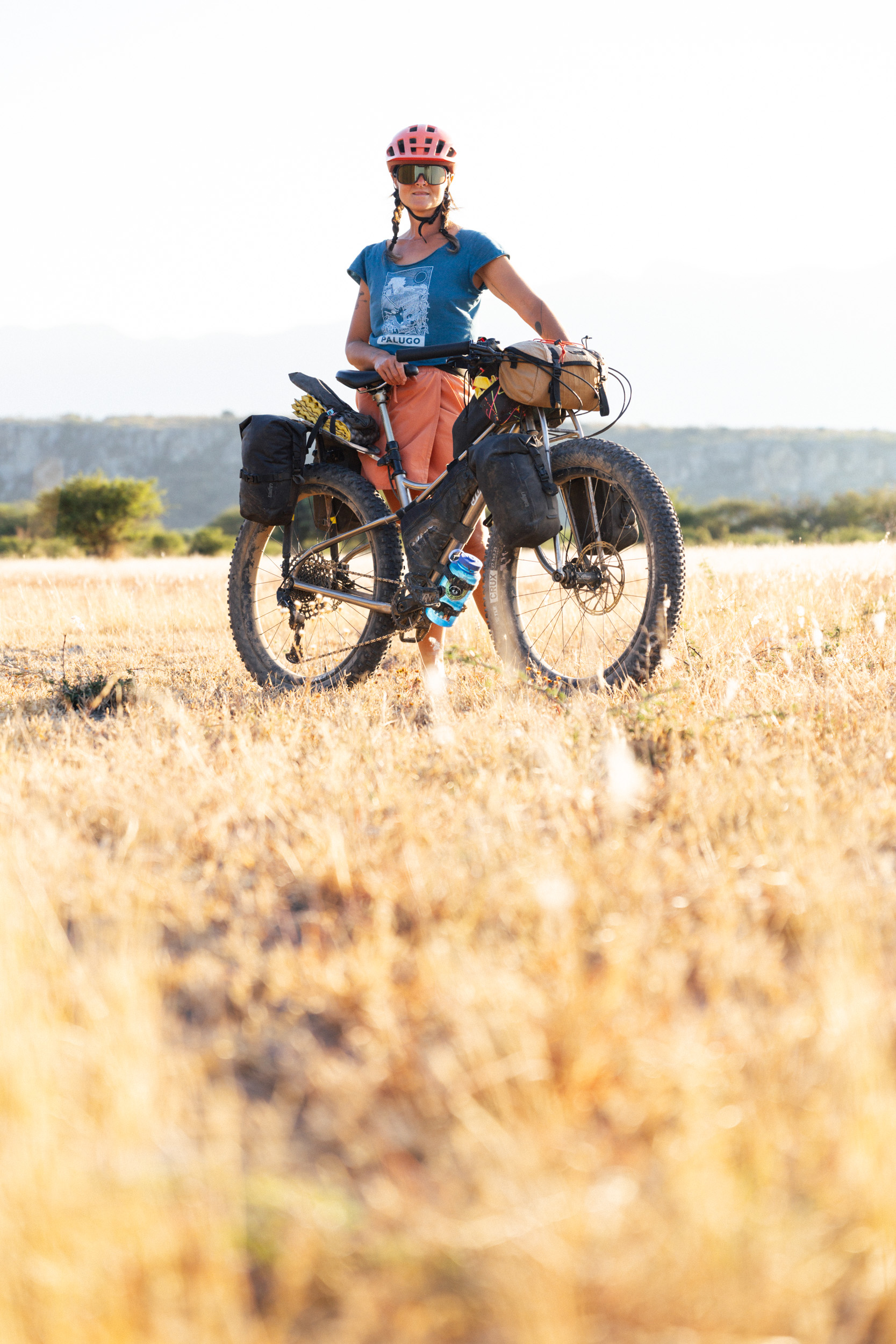
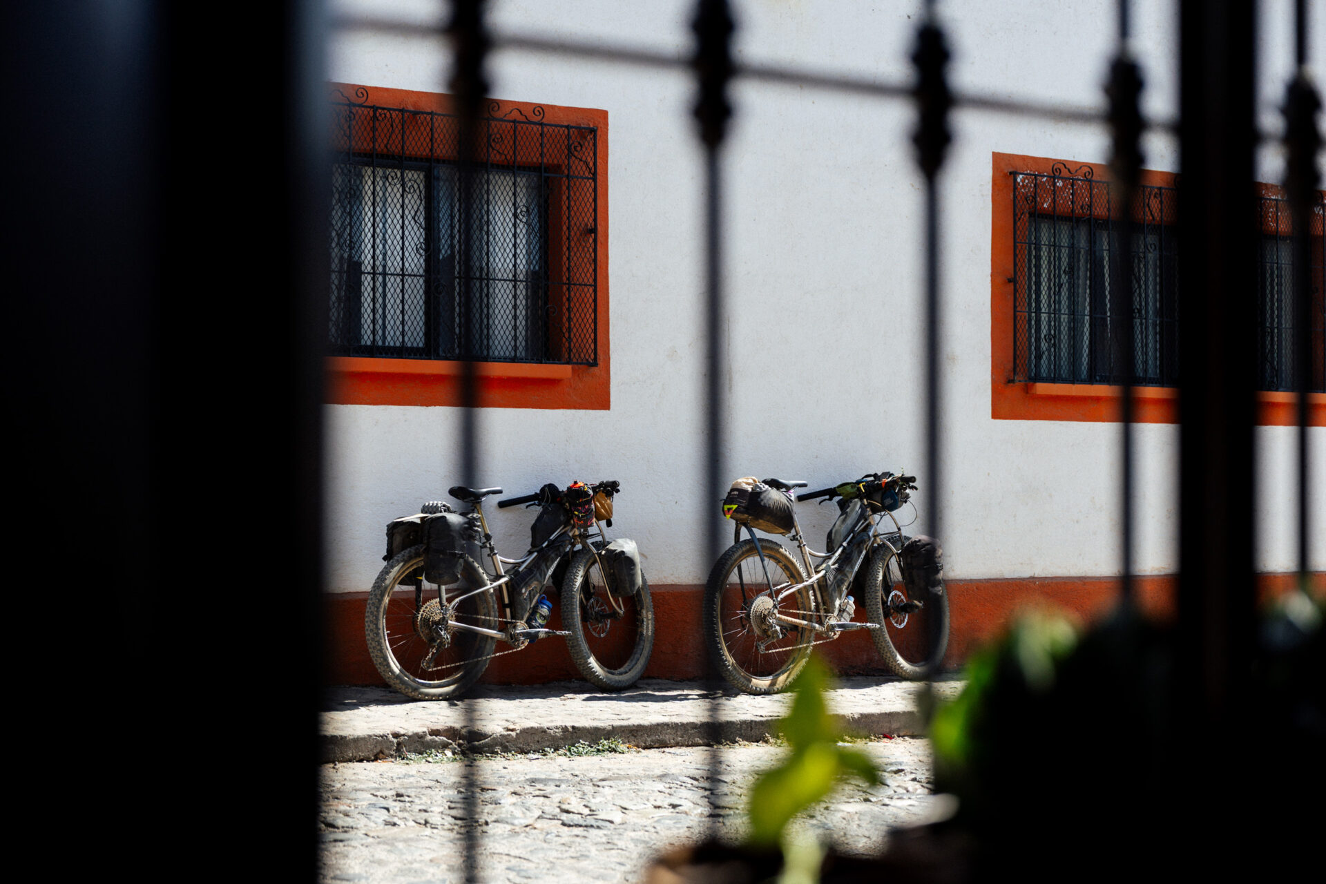
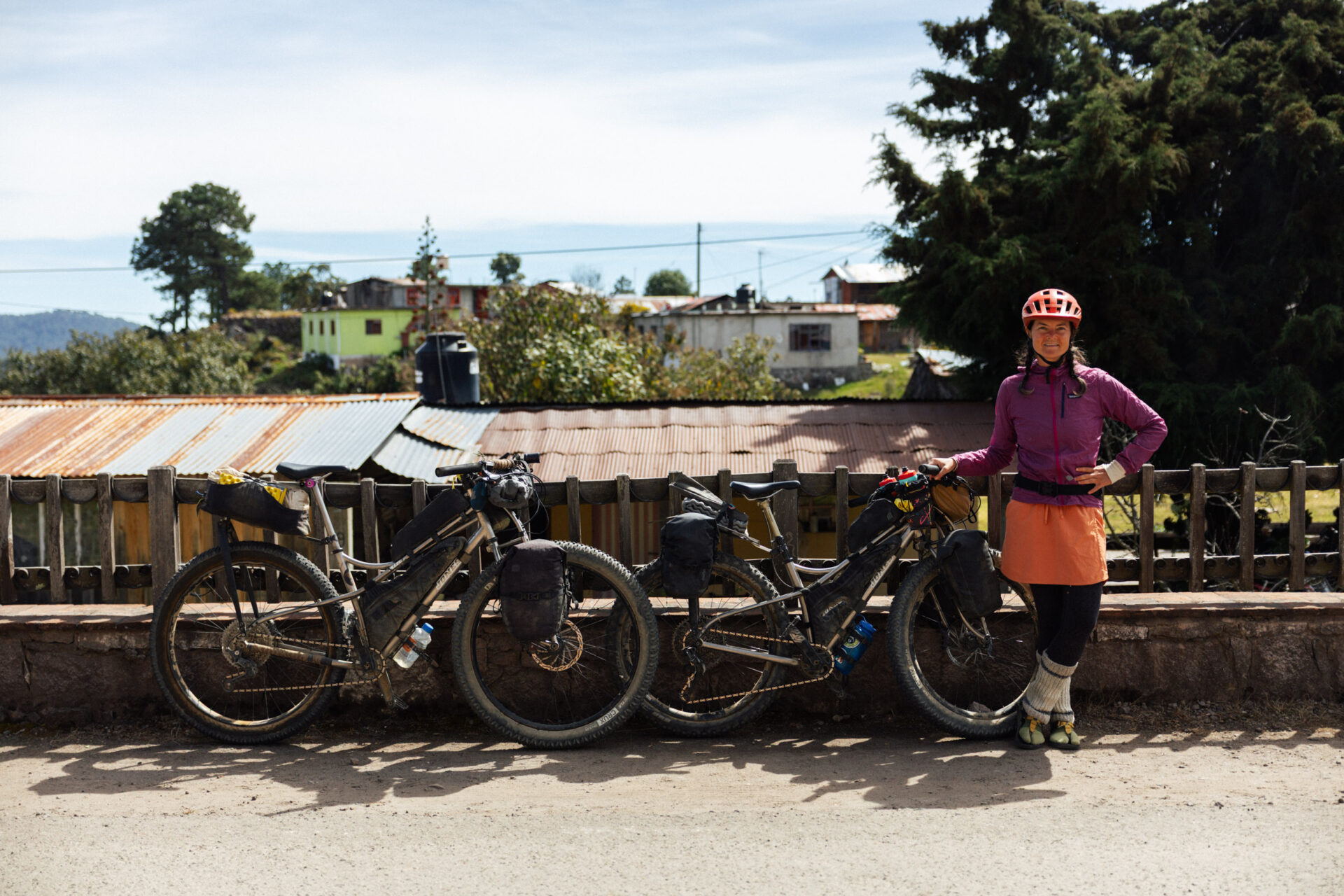
And they they were, two gleaming road warriors, leant up in the streets of Cuajimoloyas. Also, we’re getting close to choosing our setups for Colombia! More on that soon!
If you’re heading to Oaxaca to bike tour, this is a great loop that suits groups too, given the formal camping options. As mentioned, it’s mostly the first big climb that’s the tough bit.
Have More Time?
You could also work in the Lachatao Loop too – see below – and connect more of the Pueblos Mancomunados.
We Even Bought a Half Kilo of Locally Grown and Milled Wheat
One of the Pueblos Mancomunados, El Carrizal, is know for its wheat production, which is unique in these mountains. It even holds a two day wheat festival in July – and there’s a mountain bike race on the same day!
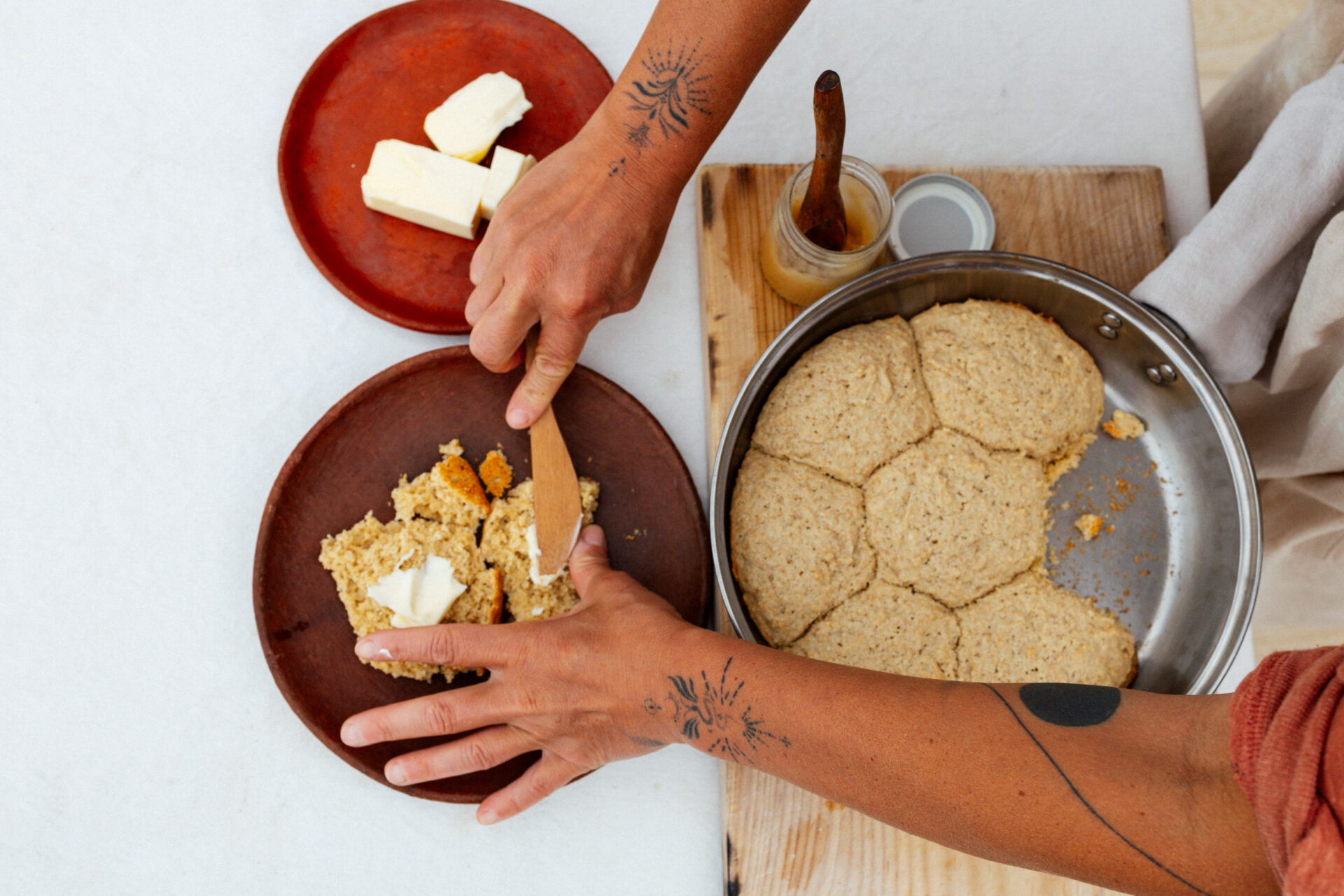
Like Cuajimoloyas, El Carrizal is a cool spot to hang out and explore. The village has a massive baking oven and the community store sometimes sells locally made cookies. No luck this time, so instead we asked for a half kilo of wheat. Someone yelled into the ether and a little later, an elderly woman appeared with a bag of locally grown and milled wheat.
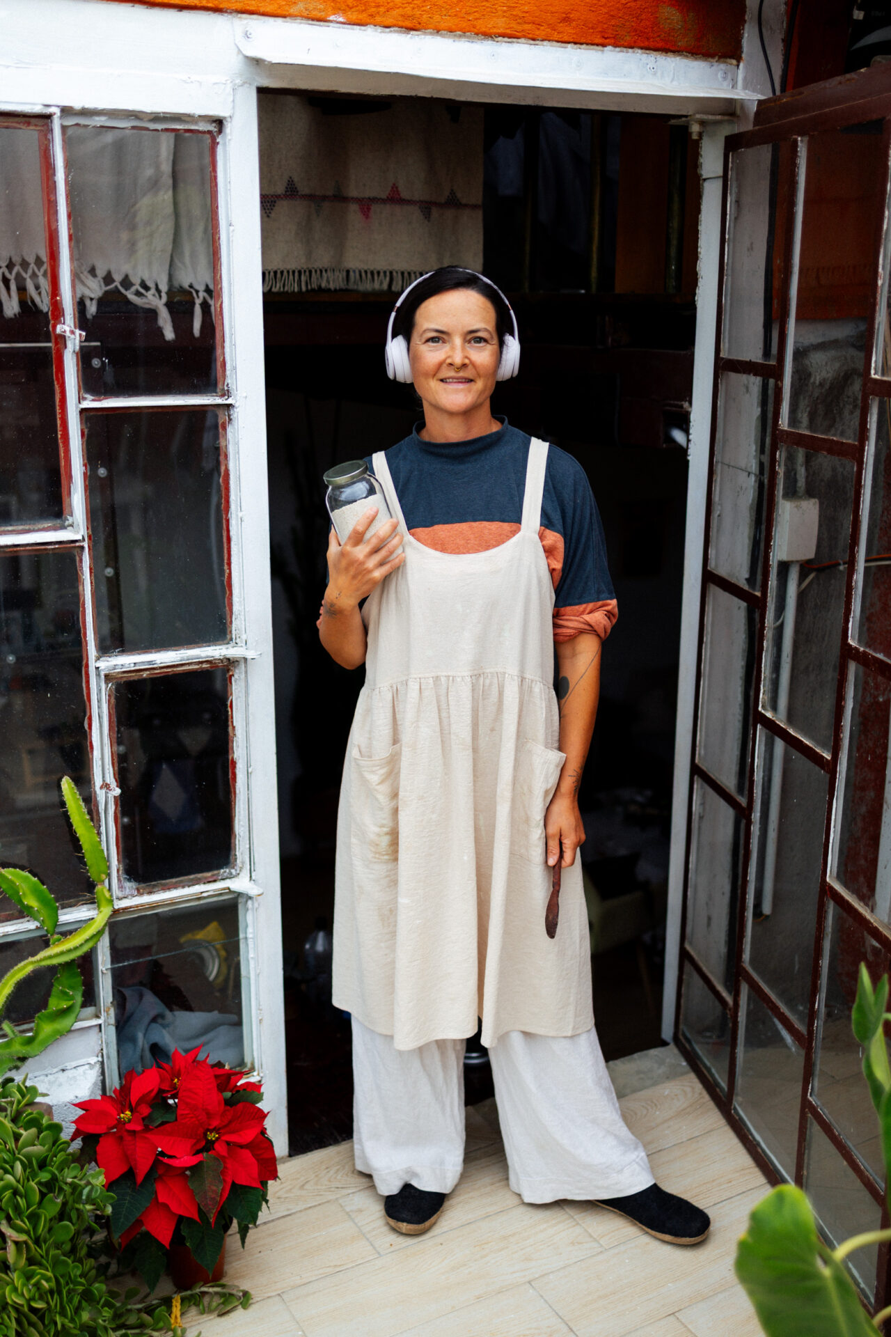
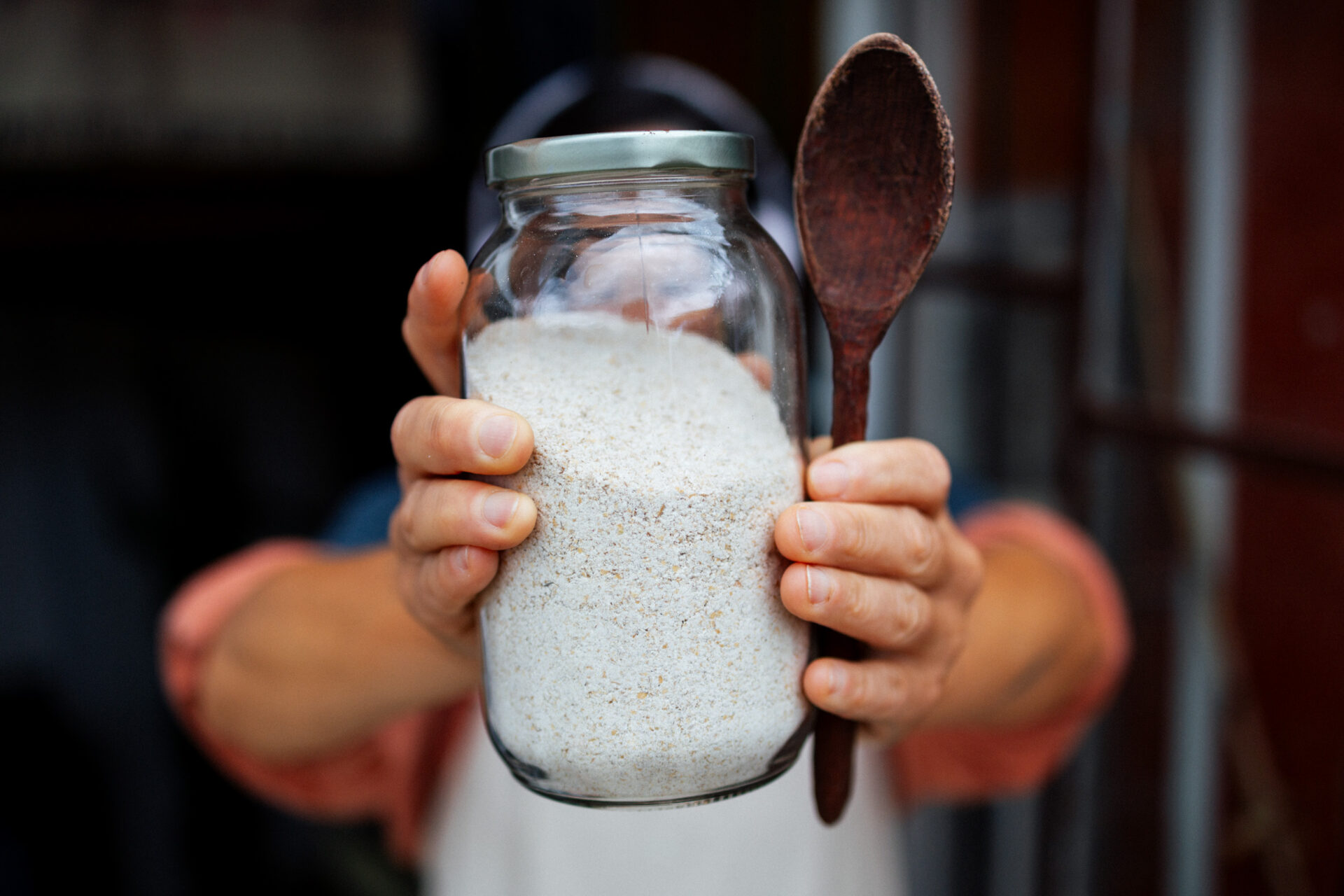
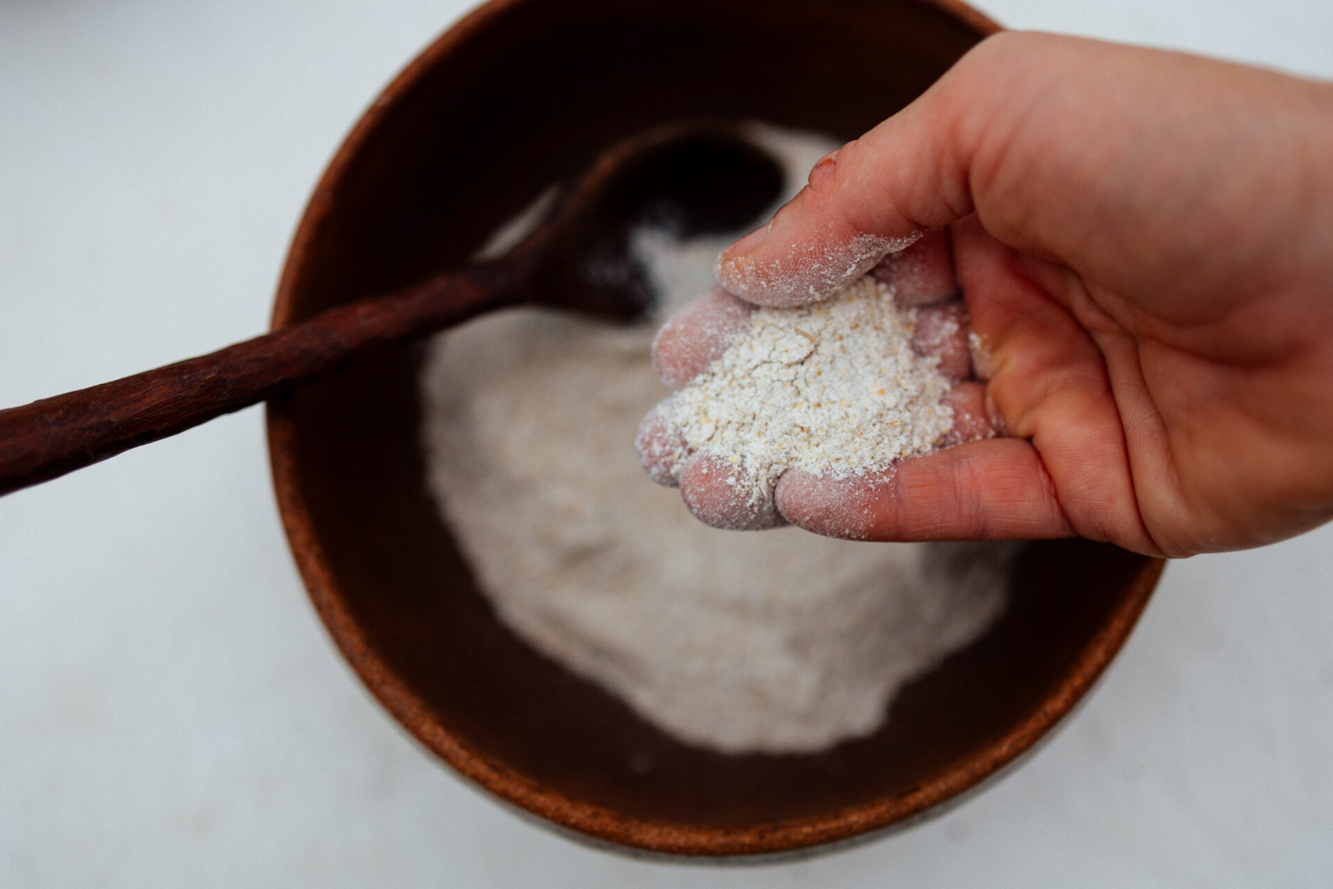
I carved that spoon, by the way.
We brought it home and Emma made her delicious scones, which we ate with our mountain honey bought the same day. Yum!
That’s it for now. Thanks for reading!


Bill
26 December 2025 at 9:10 pm
Merry Christmas!
So much good stuff in your posts.
Too many cool images, have to view them time and time again.
You guys have matching Titanium Space Frames to go with your matching hd/e bikes?? So cool.
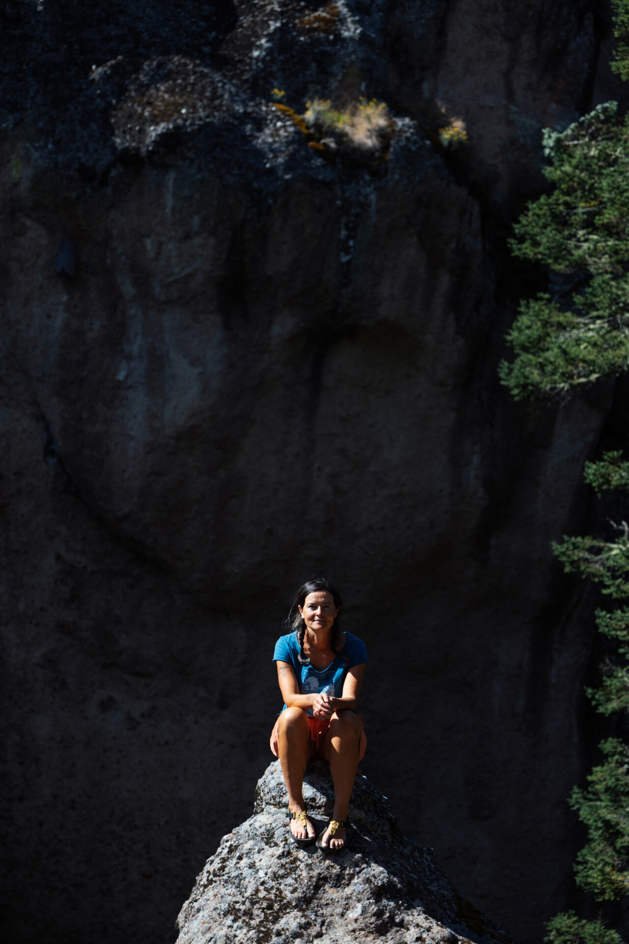
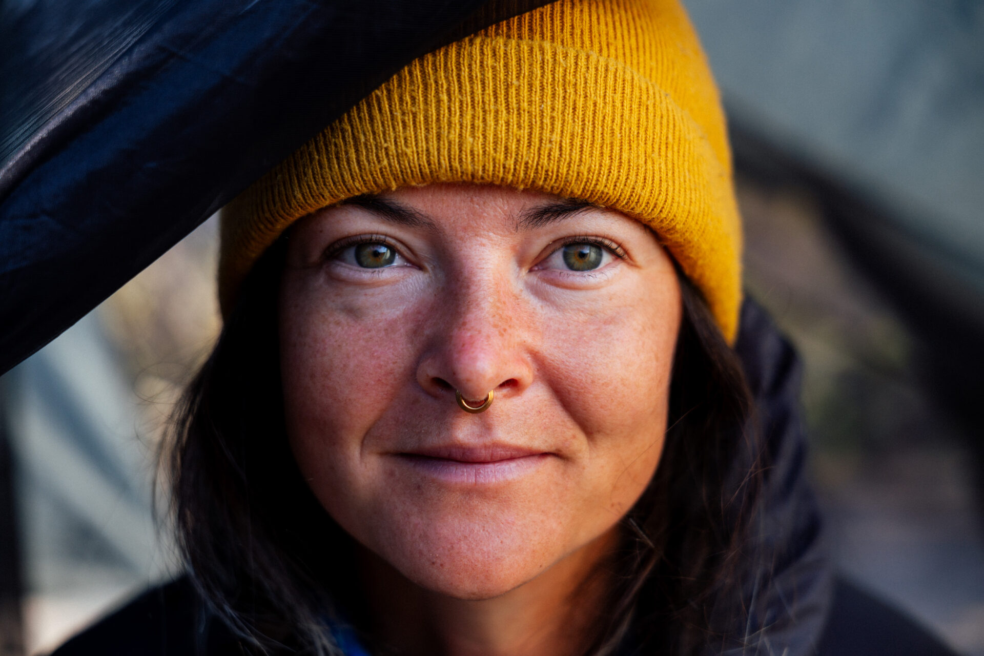
A really nice portrait of Emma, well a couple of them. It must have been pretty chilly up there, judging from Emma’s attire.
Looking forward to pictures and tales from Colombia.
Good Luck!
Cass
29 December 2025 at 8:12 pm
Back at you, Bill! And thanks!
Technically, they’re not quite matching… one is an LWB and the other the SWB. But close enough! It’s pretty wild to park them both up in town!
Emma has been riding hers for about 5 years now, and finds it the most comfortable bike of any she’s ridden. She’s had wrist and knee pain from touring in the past.
All the best for the New Year!
Juan
7 April 2026 at 12:51 am
Thinking about doing this one or Ojos de Tehuacan Norte with my wife on May, I know, I know, too much heat 🙁 but it’s the only window available for me. Any suggestions?
Cass
7 April 2026 at 1:22 am
Well, apart from the valley riding and the initial climb, I think this would work well in May, even if it’s hot. I’d definitely stick to the high country at that time of year. That said, the weather has been so odd this year, with so much mixed weather in the last few weeks, even, so who knows what it will be by then?!
In theory, the rainy season starts in earnest in mid May, so expect heat but pack some waterproofs for sure. The nice thing about this area is that there’s lots of accommodation if you need it, and plenty of water access too.
Riding it clockwise would likely be better, at least if it’s a hot day exiting the valley floor. Enjoy, it’s such a beautiful area!
Juan
10 April 2026 at 2:43 am
Thank you so much for the suggestions! We’ve decided to do the Vuelta a Los pueblos Mancomunados, and are thinking of adding the loop to Lachatao from Benito Juárez, but we’d like to avoid the hike and stay on the main road through Latuvi. Do you think this route would work? https://ridewithgps.com/routes/54583034
Cass
11 April 2026 at 6:06 pm
I think they’ve widened (and maybe concreted?) the main road now, as it was being dug up when I last past.
It does link up, it’s just a bit of a longer loop around, with more traffic. The trail is really nice, and very scenic, but there are definitely some more challenging moments.
That RWGPS file you shared is the trail, I believe.
Juan
12 April 2026 at 5:36 am
Hi! Yes, it’s actually the route that includes the trail. I updated it because we thought the Lachatao loop post was interesting with the trail included. We’ll see how it goes. We’ll be arriving in Oaxaca on May 16th, hopefully we’ll meet up!