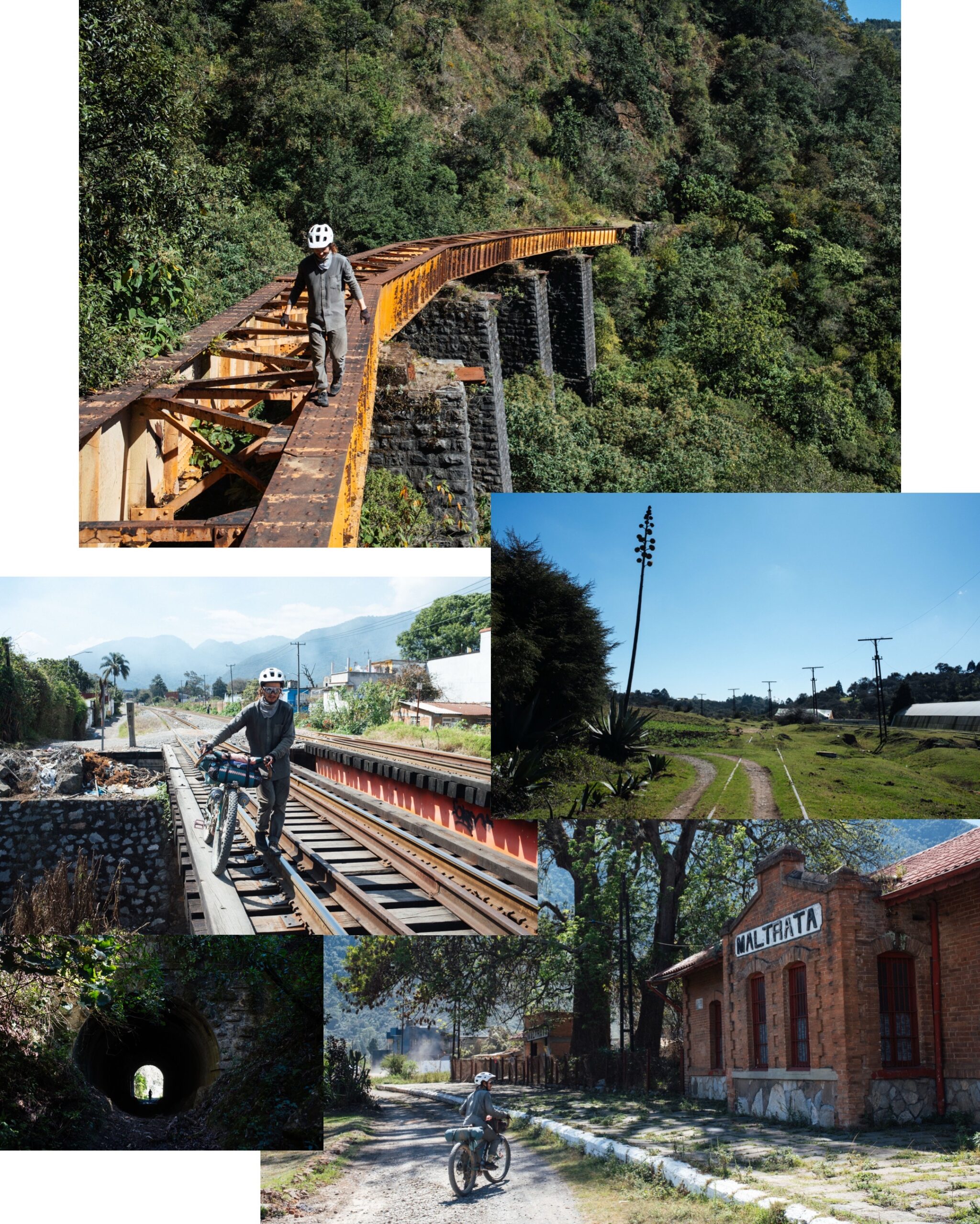
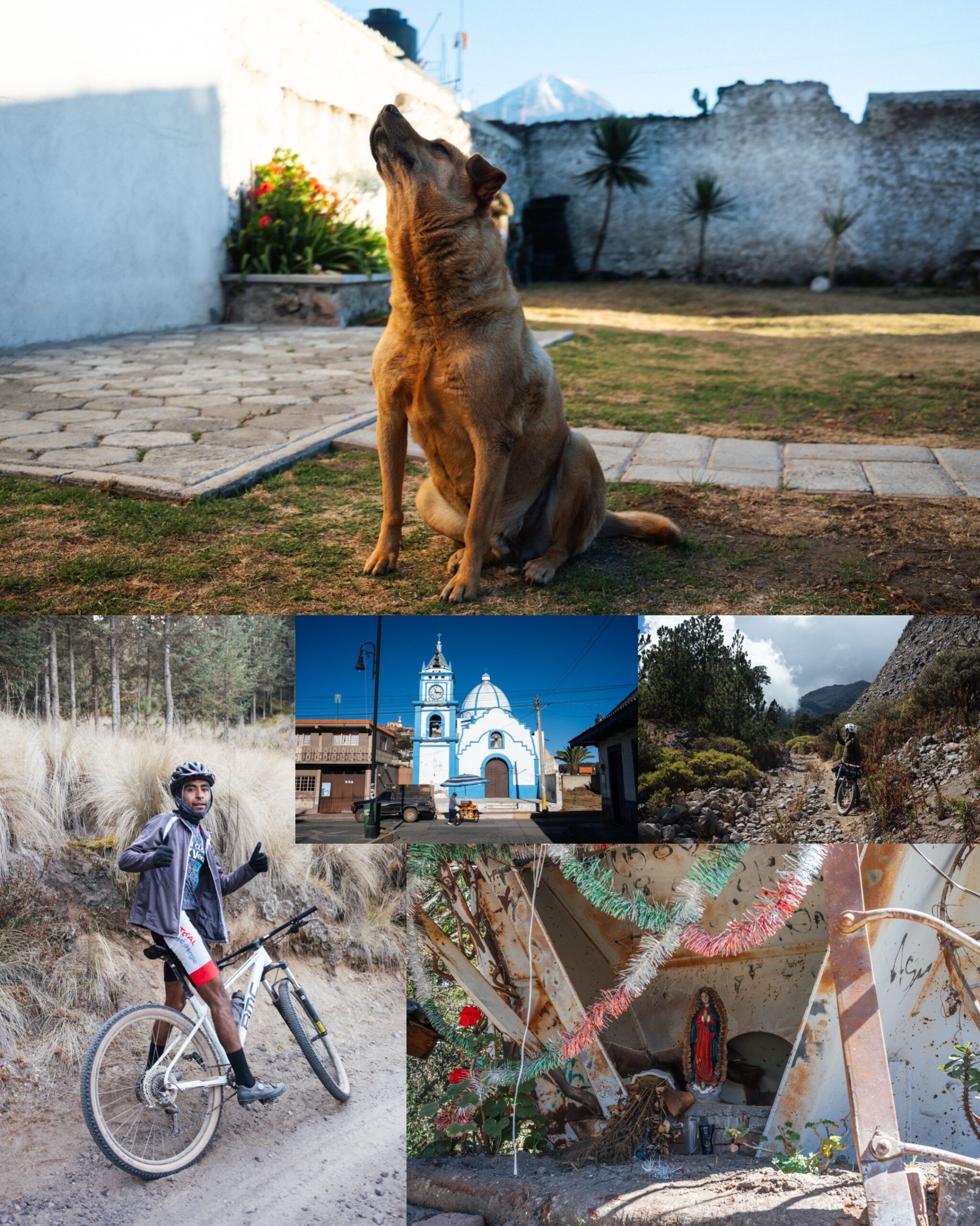
Some time back, Emma and I escaped the pull of our Oaxacasphere to spend a week in Veracruz and Puebla. A bicycle touring friend had inspired us to follow in his tyre tracks and pedal up Mexico’s highest motorable road, and whilst we were pouring over satellite imagery around Pico Orizaba (Citlaltépetl), we figured we could circumnavigate the volcano too. The net result was one of our most enjoyable trips in Mexico. The ride was grandiose and varied, and even echoed my bicycle travels through Ecuador in its sense of scale and volcanic majesty. It was also both epic and unorthodox, thanks in part to Javier from @stonedridersmx, who kindly laced our intended loop with wildly inventive trails and train tracks alike. So, when Mason shared his plan to ride it, I asked if he’d like some company. And, although our timeframe would place us squarely in the middle of a very mixed forecast, we decided to go for it nonetheless.
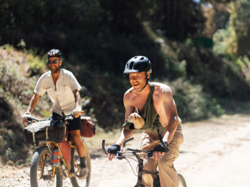
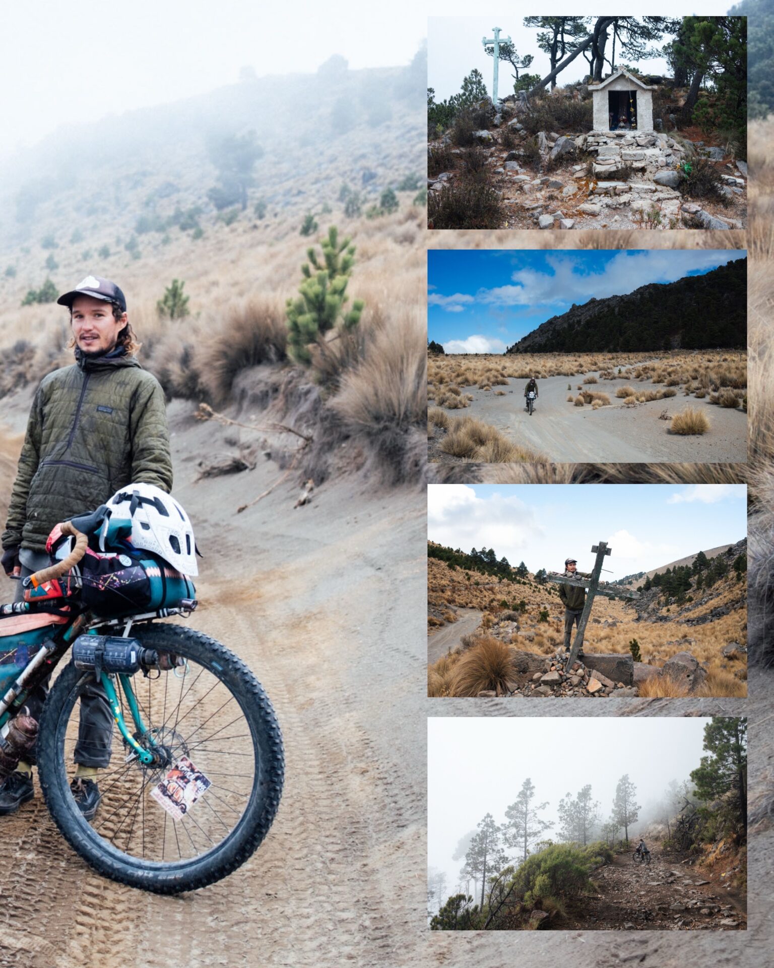
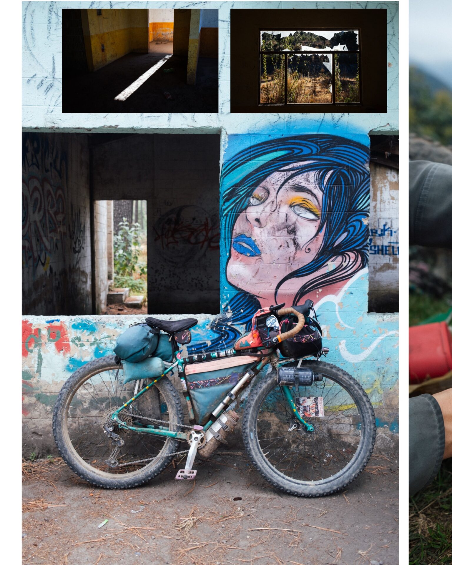
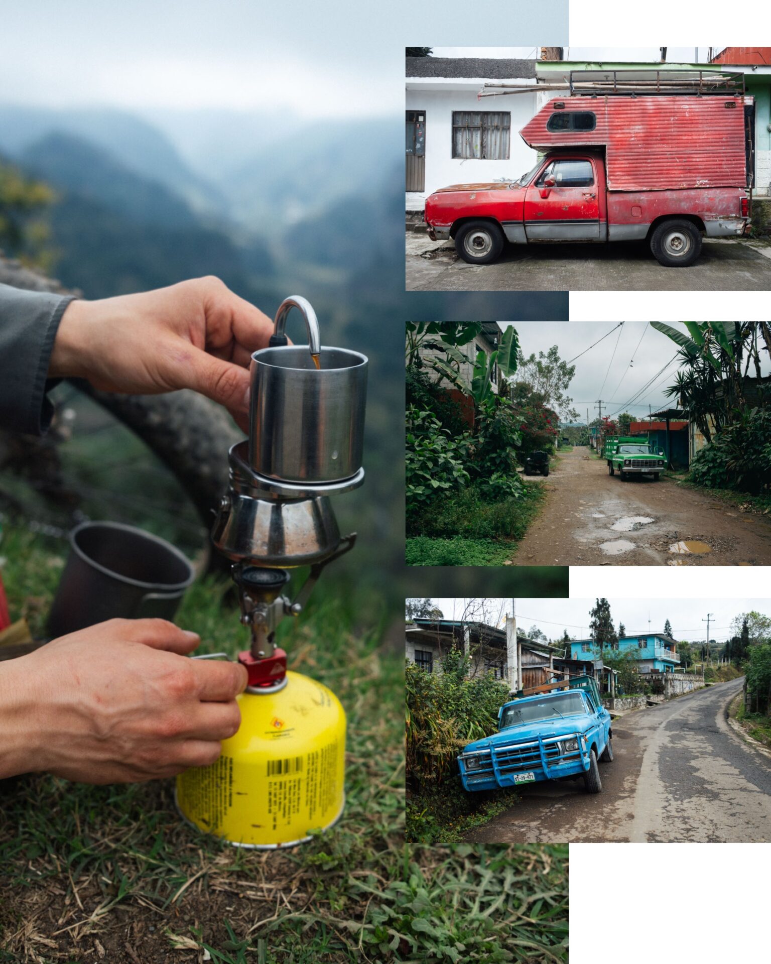
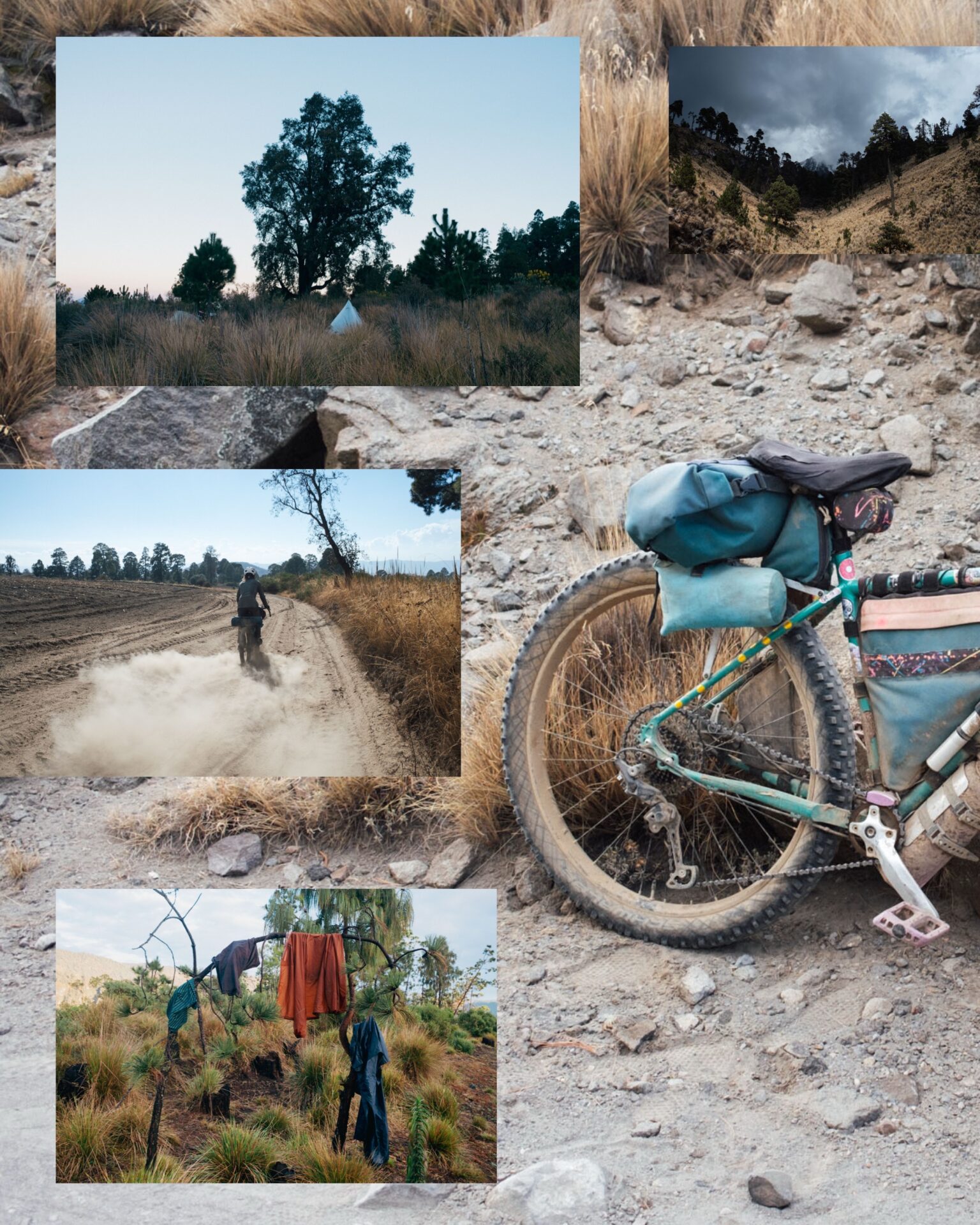
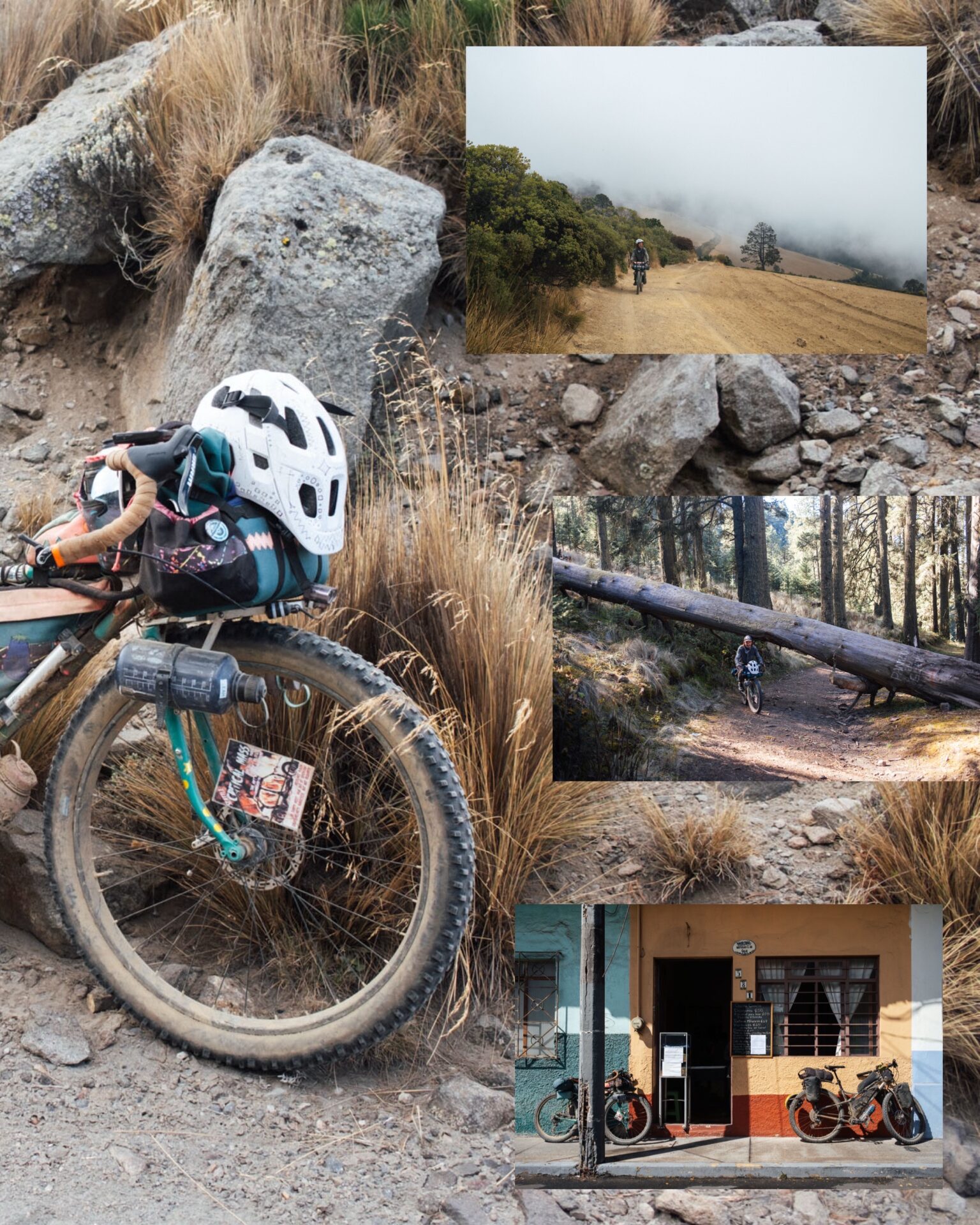
Like our last couple of trips together, sea-plane-repairer Mason rode his Crust Evasion, bedecked in colourful homemade bags, with his own racks and aluminium cargo cradles customised to carry the likes of compressed gas and water bottles. He also brought his espresso-making contraption to fuel us through the mountains, given we’d be riding up to 4600m in elevation. Mason is a pleasure to travel with, curious about everything and forever contemplating his surroundings, whether it’s to question how they might have come to be, or to scour the land before him for discarded odds and ends, that he squirrels away for future projects. I must dedicate a post to his setup!
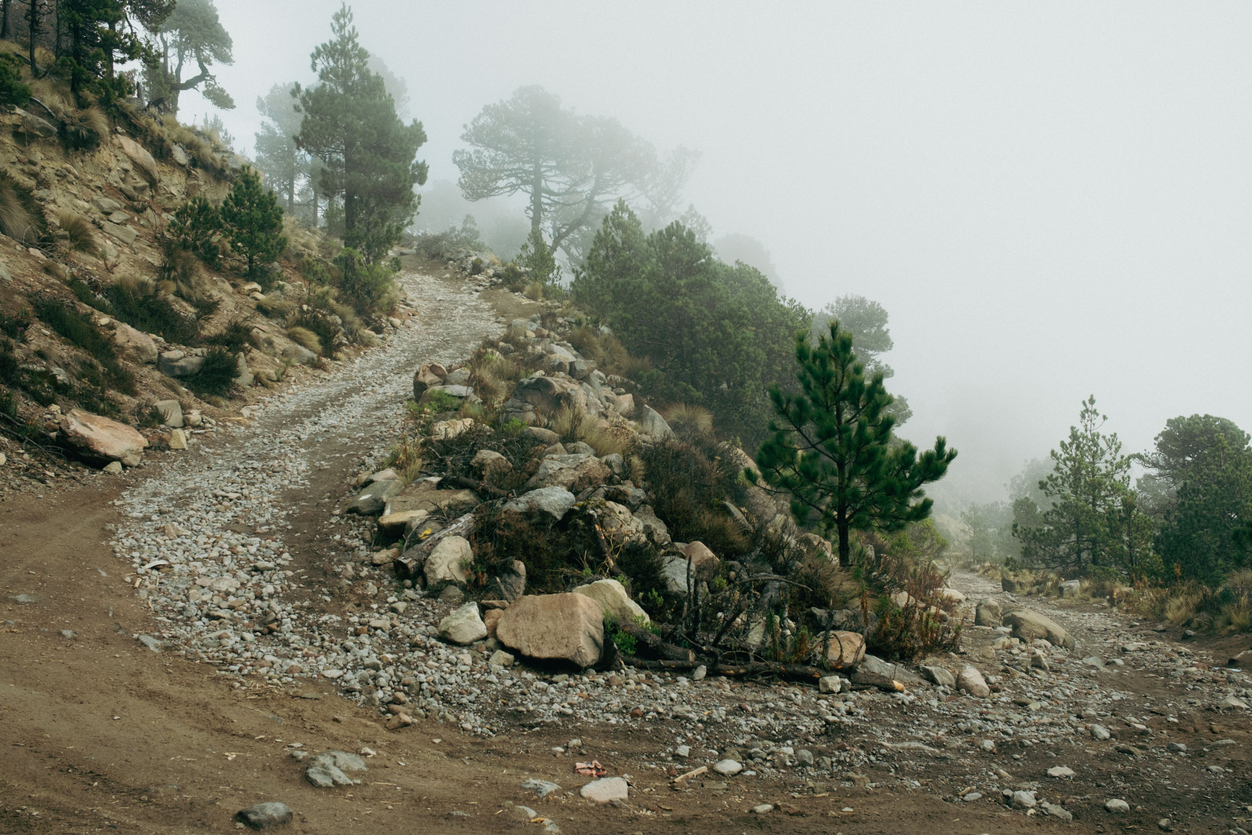
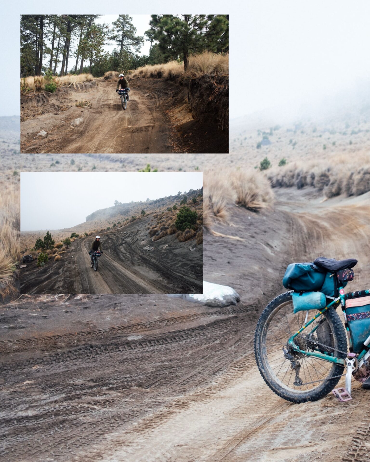
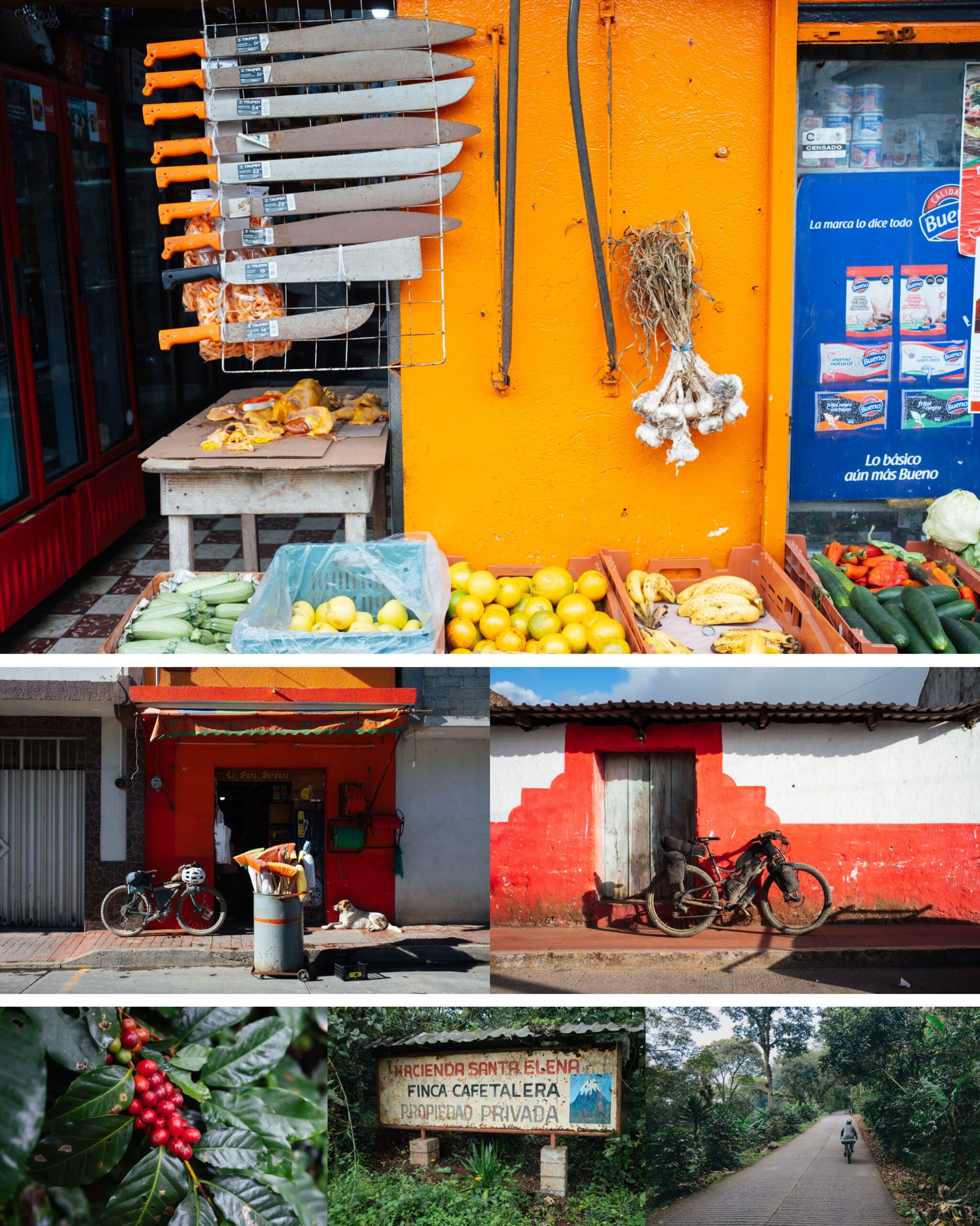
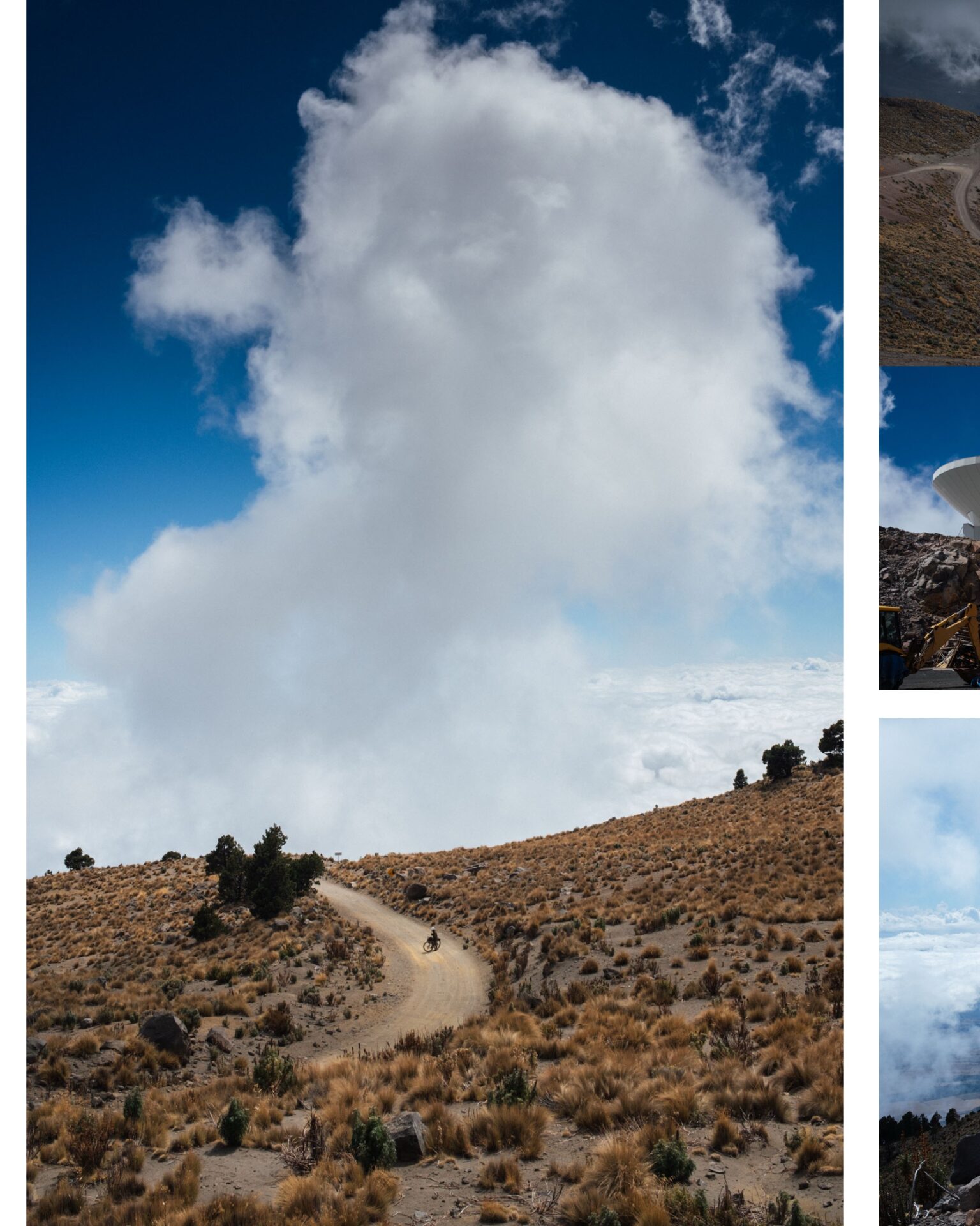
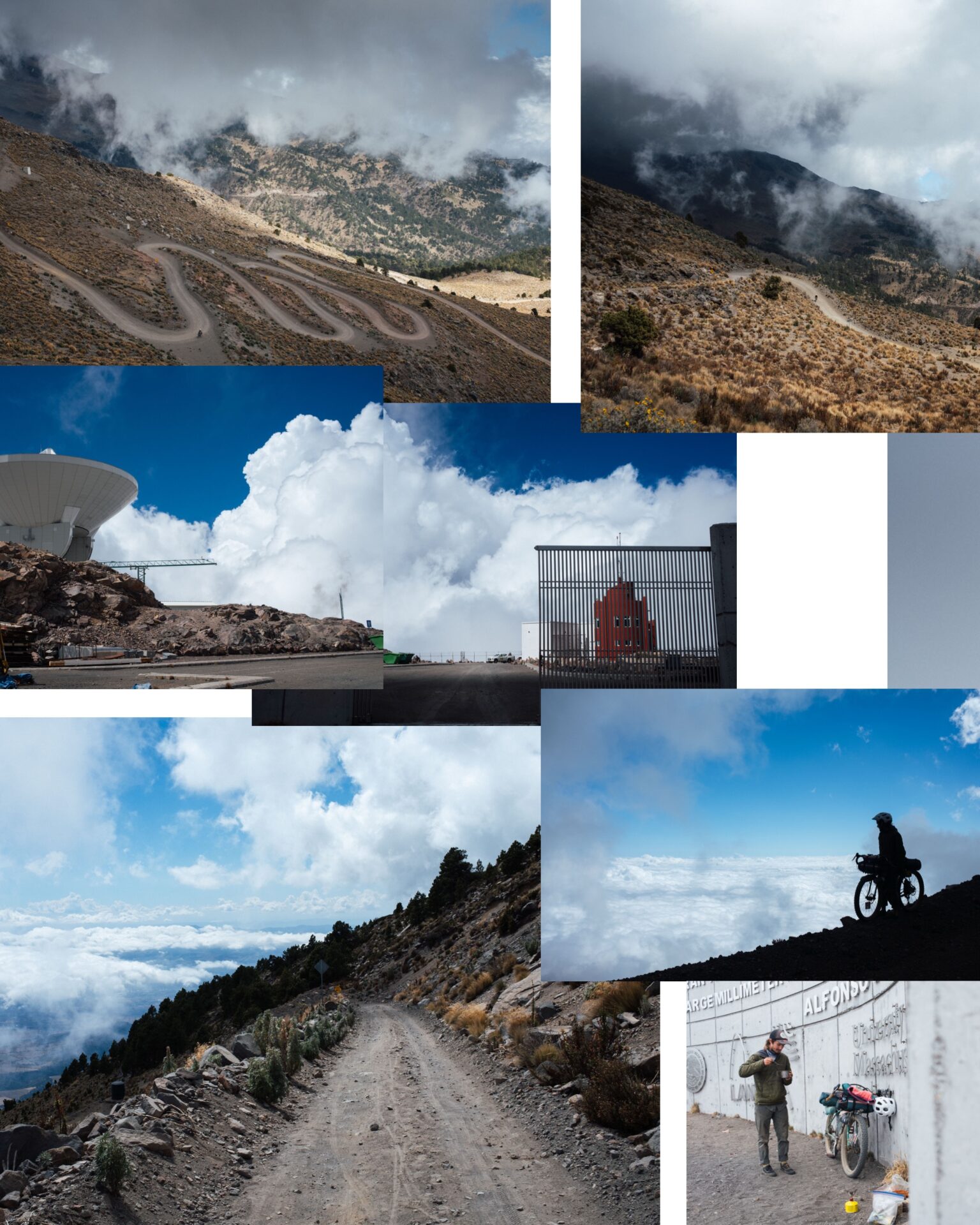
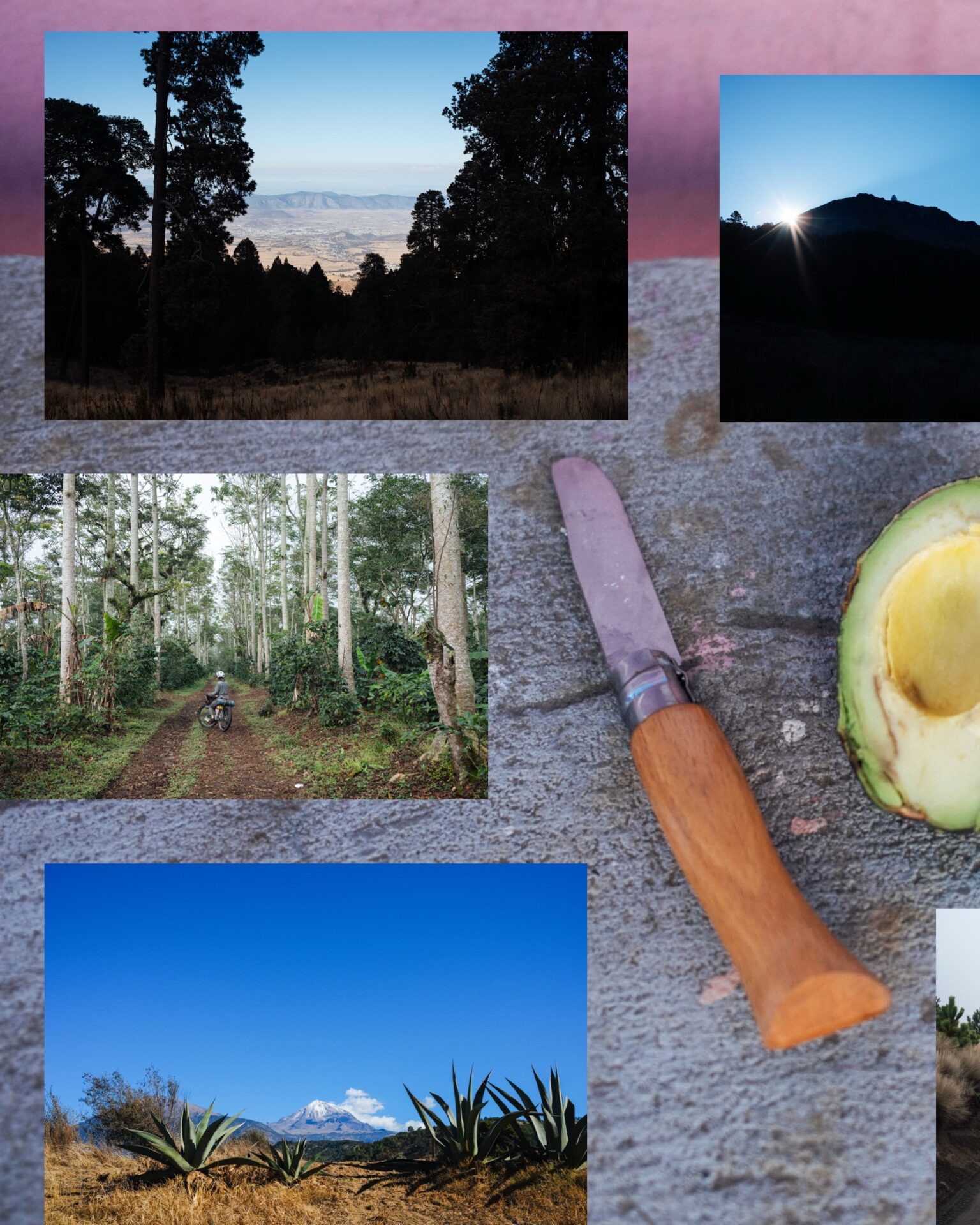
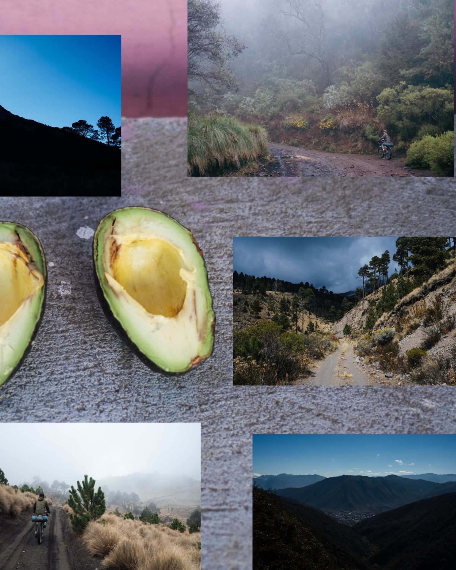
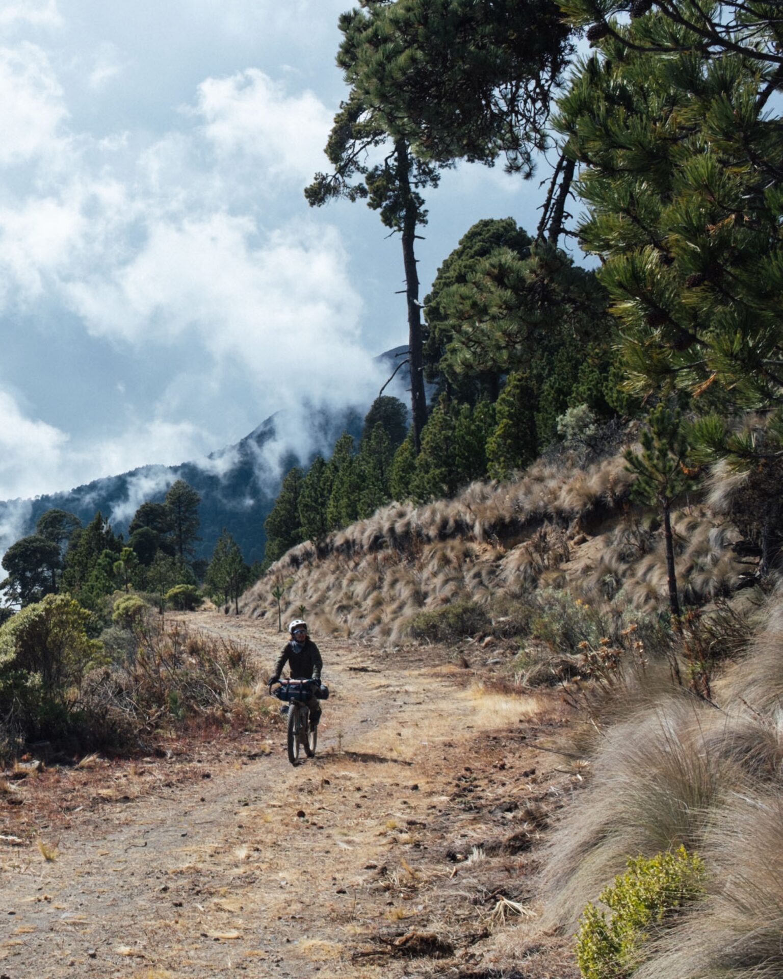
As foretold, we hit heavy weather straight on, though it did little to dampen our spirits (says the guy in the poncho). In fact, it made riding through coffee plantations, crossing avocado fields, and pedalling amongst mossy pines, from 900m in elevation to 4000m and over, often enchanting. Whilst I’d been graced with clear skies on our prior circumnavigation, this time we entered the Realm of the Imagination, and views of Orizaba were fleeting from its eastern flank. “It’s no lesser of a peak just because we can’t see it,” pointed out Mason. (cont in comments)
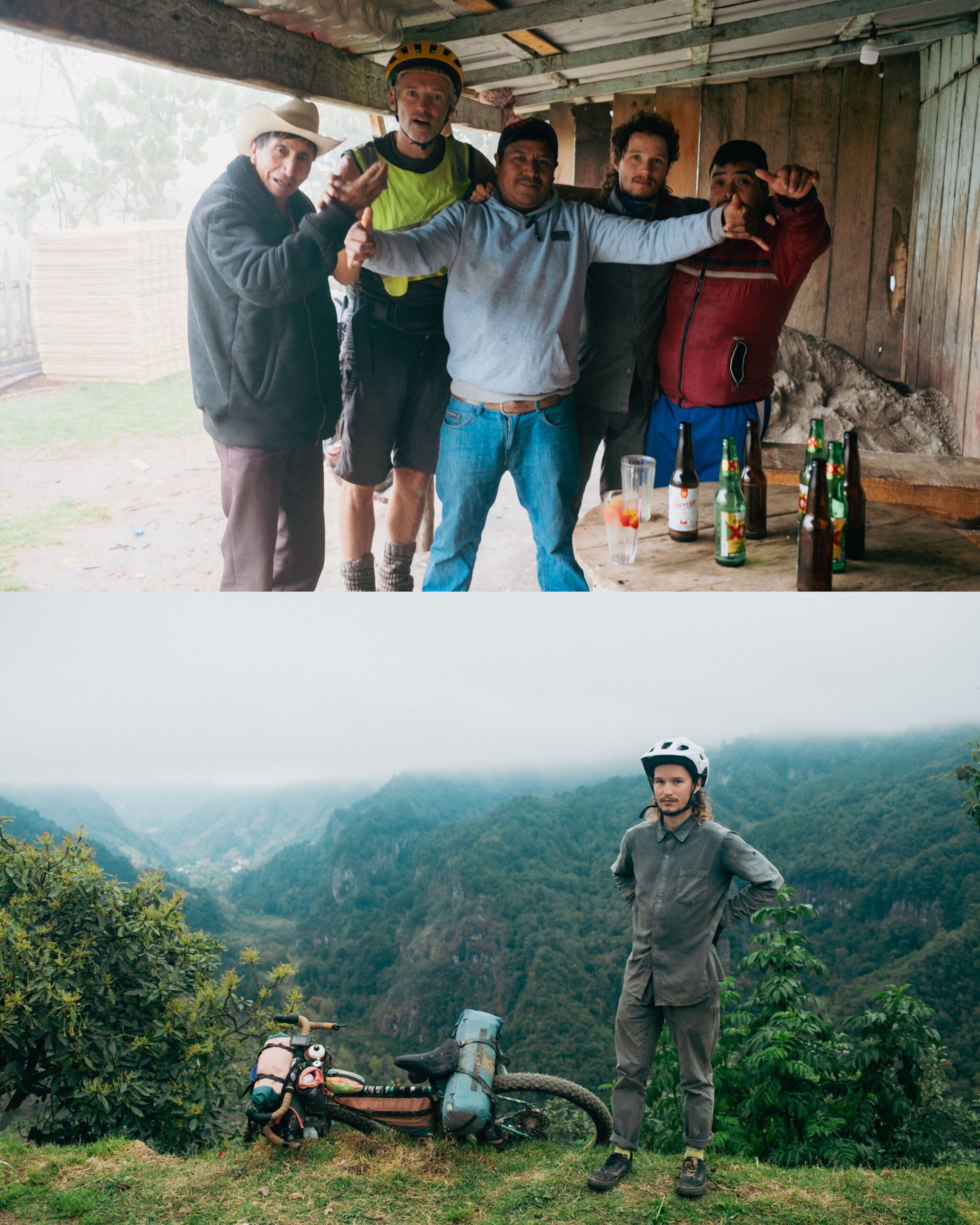
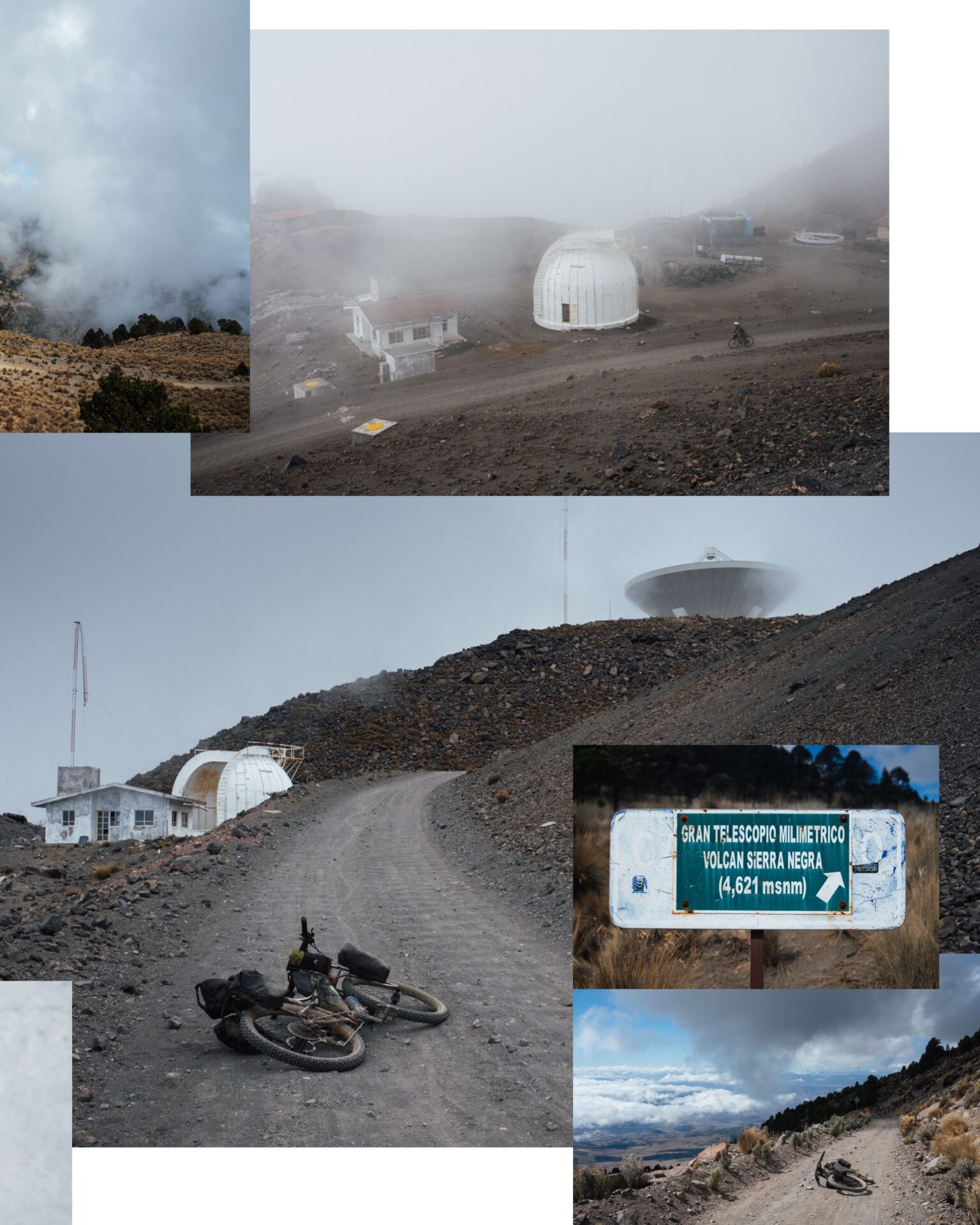
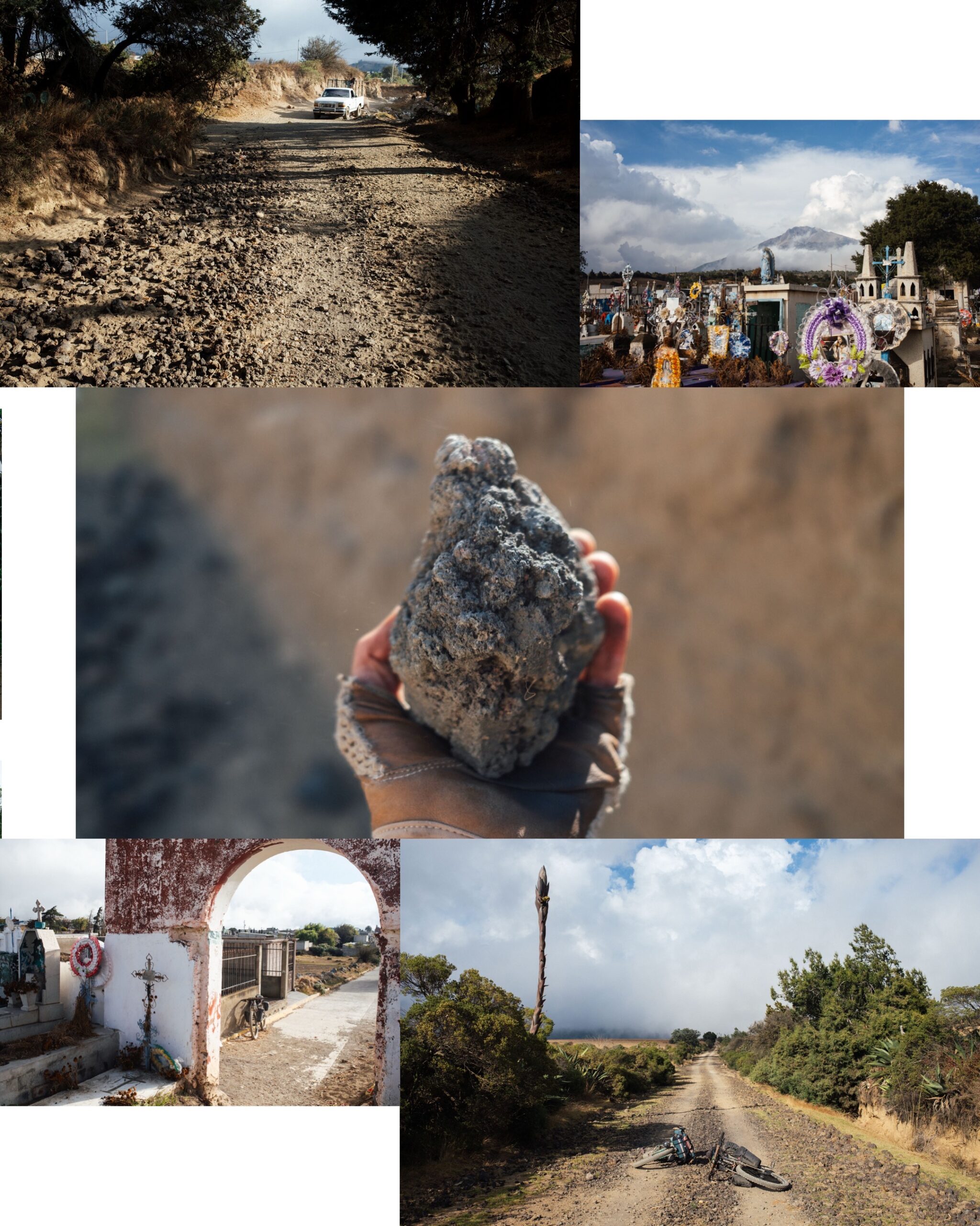
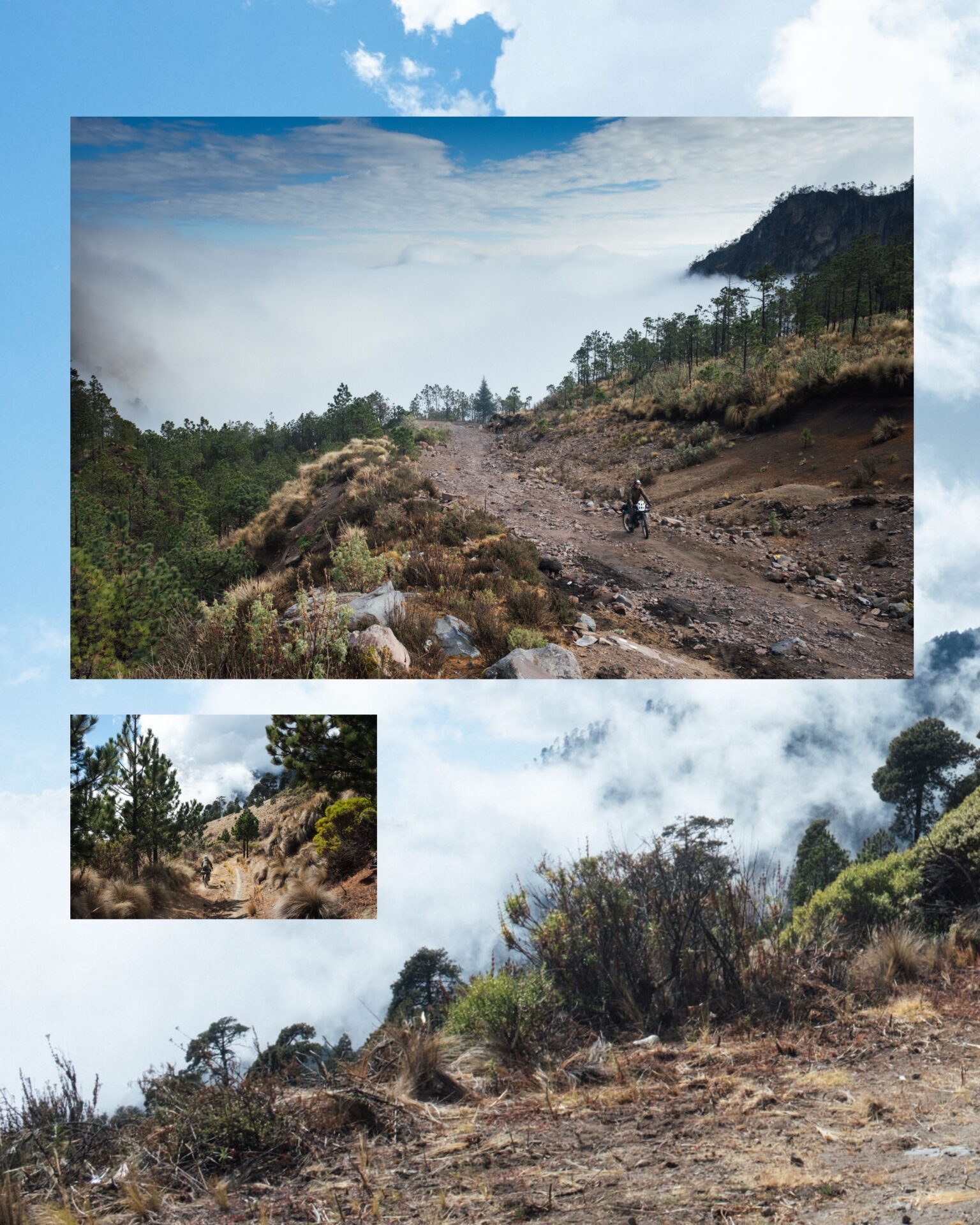
Many moments stand out but I’ll list just a few. 1. An awkward conversation with drunken but friendly Vera Cruzians, concerning political changes north of the border, as they plied us with a plant-based homebrew midway up our longest climb. 2. Mason’s breakfast of granola, dehydrated coconut powder, peanuts and chapolines (grasshoppers), whilst our sodden clothes were draped around camp, to the gentle hues of a rain-washed sunrise. 3. Later, few valuable beams of sunlight permeating the fine cloud, finally, and airing out those aforementioned clothes, lifting our mood, and offering our first glimpse of Citlaltépetl 3. Chucho, who overtook us on his 29er whippet hardtail on a particularly steep ascent back up to 4000m, carrying with him just one bottle of water and riding out of the saddle, half way through his cassette (Mason and I later discussed whether his jersey pockets were perhaps filled with tamales.) 4. Speaking of which… being awoken long before sunrise by a live band playing rousing rock covers outside our hotel during a pop up Festival of Tamales. 5. An epic cloud inversion from the top of Sierra Negra, the highest point of our ride, overseen by the route’s iconic telescope sweeping in and out of view. “Let’s Get These Junk Piles Flying in Formation!” cried Mason as we began our descent through what we called The Natural Habitat of the Clouds, as if we were looking out of the window of an airplane. And one last highlight. A shape-shiftingly-sandy, grassy, dusty, rocky bout of freeform singletrack back down the mountain, ethereal and white knuckled, that culminated in a dark, rubbly road that we termed Volcanic Grav Grav.
Riding around Pico Orizaba is such a spectacular, varied, challenging, and even heart opening ‘experience’ that I may just try and ride it each and every year, to mark the passage of time, the changes in the world, and those within me… a kind of yearly, contemplative, spiritual and physical exploration if you like.
Anyway, if you made it this far, thank you! If you’re tempted by this route, I recently made a big update to bikepacking.com, and I plan to add further notes now that I’ve ridden it again. Do check the weather first though, as this loop is definitely best tackled with a clear forecast! A note on the accompanying images. All were taken with my failing x100v, whose temperamental nature felt especially in sync with the weather…

Field Notes
Here’s how we broke down the days, and some notes that I posted over on Bikepacking.com, too.
Mason and I rode this loop at the beginning of Feb 2025. I’ll add some more updates into the post (nothing too significant, mostly price changes) but wanted to share some impressions while they’re on my mind!
I think the way we broke the loop up this time worked really well, pace wise. I still prefer the original itinerary, even if it may seem like overly short days to some, simply because this is a wonderful area to soak up and maximise your time in! The original itinerary also sets you up well to have the best weather in the most epic parts of the ride. But if you do want to trim it back, the itinerary below worked well too. I’ll add it into the Trail Notes section at some point.
Here it is, as it appeared when imported in RWGPS from my Hammerhead, which is set to pause when I’m not riding.
- Day 1: Arrived in Orizaba bus bus early in the morning, explored town for a while, then rode to Coscomotepec:
46km, 950m elevation gain, 3hr 17 riding time
- Day 2: Climbed from Coscomotepec to a camping spot within the lower region of the national park (marked on map) Lots of rain for us on this day.
36km, 1965m elevation again, 4 hours riding time
- Day 3: Camping in Nat Park to Camping in Nat Park. Up and over. Due to cloud cover, we didn’t detour to Refugio Piedra Grandes, or down to Tlachichuca, and took the ‘direct’ way back up into the national park (marked on the map), which made for a shorter distance and a less climbing than the original itinerary. In an ideal world, we’d have made it a little further up into the national park, even to the saddle at 3900m. But we had very mixed weather, which delayed us.
51km, 1700m elevation gain, 5 hours riding time
- Day 4: Camping spot in Nat Park to Atzitzintla, including the climb to Sierra Negra at high elevation
40km, 1330m elevation gain, 3.30hr riding time
- Day 5: Atzitzintla to Orizaba arriving by lunchtime, and in time to catch an afternoon bus back.
50km, 185m elevation gain, 2.50hr riding time
Here’s a file with our camping spots and hotels marked, there’s a few minor glitches where the device was acting up: https://ridewithgps.com/routes/49770990
This basically meant we had two half days on either end – allowing time to see Orizaba, which is a great town to explore, and for transportation logistics – and 3 pretty full days in between. It also sets you up well to hit the epic views early in the day, before it clouds over, and not be in any sketchy areas when it’s dark.
With regards to perhaps the most challenging part of the ride… We actually found the climb from San Miguel Tlacopioca (the last town before asphalt gives way to dirt) very much rideable. But I’ll add some important caveats! Both Mason and I were riding what I’d consider to be ideal bikes for this route (ATBs with big tyres, 29 x 2.6 and 27.5 x 2.8, and low, mtb-style gears). Both of us do love the challenge of cleaning a climb, and we were both pretty well acclimatised, as we’d been ridding a lot in Oaxacan sierras. We also hit it with fresh legs, having camped just below where the steepest and rockiest part of the climb begins. All this said, it was still tough and slow going! But I can imagine it would be considerably harder if you were adding this segment onto an already long day, and/or you were running more of a ‘gravel’ setup with narrow tyres and larger gears. As it is, we definitely pushed on the odd occasion, but it really didn’t add up to more than a hundred metres at most. To be honest, riding pace isn’t often much faster than pushing, so either way, allow time for it!
We loved the ‘unconventional’ descent after the Sierra Negra deour and I wouldn’t want to miss it by taking the main dirt road. But again, on a less appropriate bike, or if you’re riding bigger days than we were, I can see how aspects of it could be pushing the envelope of enjoyment! But for me, the incredible view and the sheer range of terrain completely make up for it. It’s a wild one!
Generally speaking, the dust/sand situation is definitely something to consider at this time of year onwards. Bring extra rags and oil to keep your drivetrain clear.
We rode the loop in a very mixed weather, which added considerably to its challenges. I’d definitely advise riding within a clear weather window, even delaying your trip until a weather system has passed.
The Route
The full route is on bikepacking.com. This is a slightly shorter version, in the interests of getting around the loop a little quicker (which I woudn’t necessarily recommend!) The short cut is more direct but perhaps more dusty. There’s a few steep stints, but it’s not too bad. The longer way around allows for a better resupply, especially water, and some additional villages.